
Greenville in Hunt County, Texas — The American South (West South Central)
Central National Road of The Republic of Texas

Photographed by Jeff Leichsenring, November 10, 2025
1. Central National Road of The Republic of Texas Marker
This stone marks the location of the Central National Road of The Republic of Texas
Surveyed and established by virtue of an act of the congress of the Republic of Texas in 1844, and running from the Trinity River to the Red River, it crossed the highway near this point.
"An old road is the soul of the past."
Erected 1926 by Thomas Wynne Chapter of the Daughters of the American Revolution. (Marker Number 7777.)
Topics and series. This historical marker is listed in this topic list: Roads & Vehicles. In addition, it is included in the Daughters of the American Revolution (DAR) series list. A significant historical year for this entry is 1844.
Location. 33° 12.647′ N, 96° 9.106′ W. Marker is in Greenville, Texas, in Hunt County. It is on Route 69 0.1 miles north of County Road 1079, on the right when traveling north. Touch for map. Marker is at or near this postal address: 2933 Highway 69, Greenville TX 75401, United States of America. Touch for directions.

Regionally, this marker is in the Prairies & Lakes Region and in the Dallas-Fort Worth Metropolitan Area. It is also in the American South. Globally, it
this page online
Other nearby markers. At least 8 other markers are within 5 miles of this marker, measured as the crow flies: Birthplace of Audie Murphy (approx. 1.8 miles away); Harrell Camp Ground (approx. 2.6 miles away); Kingston Baptist Church (approx. 3 miles away); The Shields Giants (approx. 3.2 miles away); White Rock Community (approx. 4.4 miles away); White Rock Methodist Church (approx. 4.4 miles away); White Rock Baptist Church (approx. 4.4 miles away); Concord Baptist Church (approx. 5 miles away). Touch for a list and map of all markers in Greenville.
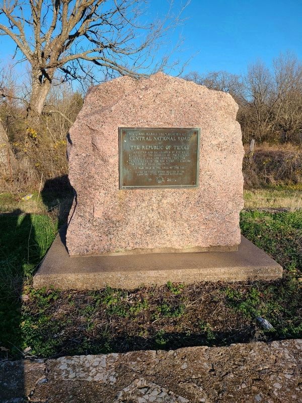
Photographed by Jesse Nelsen, January 2, 2021
2. Central National Road of The Republic of Texas Marker
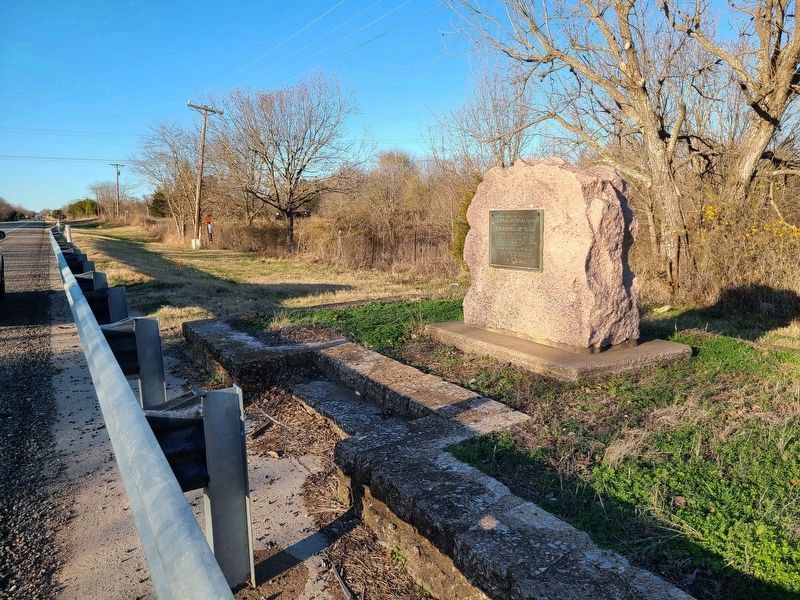
Photographed by Jesse Nelsen, January 2, 2021
3. Central National Road of The Republic of Texas Marker
Credits. This page was last revised on November 13, 2025. It was originally submitted on January 27, 2021, by Jesse Nelsen of Farmersville, Texas. This page has been viewed 868 times since then and 66 times this year. Last updated on November 11, 2025, by Jeff Leichsenring of Garland, Texas. Photos: 1. submitted on November 11, 2025, by Jeff Leichsenring of Garland, Texas. 2, 3. submitted on January 27, 2021, by Jesse Nelsen of Farmersville, Texas. • Devry Becker Jones was the editor who published this page.
