Jetersville in Amelia County, Virginia — The American South (Mid-Atlantic)
Amelia Springs
Two Days of Action
— Lee's Retreat —
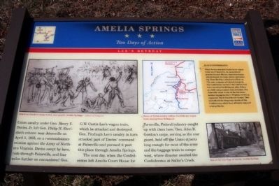
The next day, when the Confederates left Amelia Court House for Farmville, Federal infantry caught up with them here. Gen. John B. Gordon’s corps, serving as the rear guard, held off the Union attacks long enough for most of the army and the baggage train to escape west, where disaster awaited the Confederates at Sailor’s Creek.
(sidebar)
Black Confederates
When Davies attacked Custis Lee's wagon train near Paineville, he encountered gray-uniformed African-American troops who defended the train before surrendering. Described by a Southern officer as "the only company of colored troops in the Confederate service," the soldiers had been recruited in Richmond after February 1865 and promised their freedom. The Paineville clash is one of the few documented engagements in Virginia involving organized black Confederate troops. They symbolized the desperate straits of the Confederacy, which had officially opposed arming blacks.
Topics and series. This historical marker is listed in these topic lists: African Americans • War, US Civil. In addition, it is included in the Virginia Civil War Trails series list. A significant historical date for this entry is April 5, 1865.
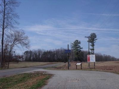
Location. 37° 20.023′ N, 78° 6.504′ W. Marker is in Jetersville, Virginia, in Amelia County. Marker is on Amelia Springs Road (Virginia Route 642) 0.2 miles south of St. James Road, on the right when traveling north. Touch for map. Marker is in this post office area: Jetersville VA 23083, United States of America. Touch for directions.
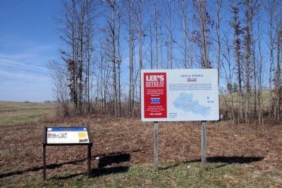
Other nearby markers. At least 8 other markers are within 4 miles of this marker, measured as the crow flies. A different marker also named Amelia Springs (here, next to this marker); Lee's Retreat (approx. 2.7 miles away); a different marker also named Lee's Retreat (approx. 2.7 miles away); a different marker also named Lee's Retreat (approx. 2.7 miles away); a different marker also named Lee's Retreat (approx. 2.7 miles away); a different marker also named Lee's Retreat (approx. 2.7 miles away); Jetersville (approx. 2.8 miles away); Deatonville (approx. 3.3 miles away). Touch for a list and map of all markers in Jetersville.
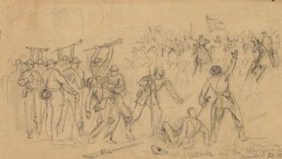
More about this marker. On the upper left is sketch with the caption, "Attack on Gordon's corps (C.S.A.
rear guard), Amelia Springs - Library of Congress
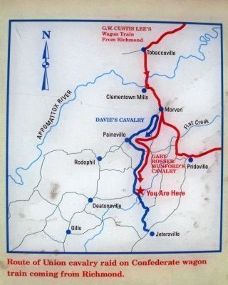
On the upper right is a map detailing the "Route of Union cavalry raid on Confederate wagon train coming from Richmond."
On the lower right is a photo of "One of the buildings at nearby Amelia Springs."
Also see . . . Lee's Retreat to Appomattox. Civil War Traveler - Southside Virginia & Lee's Retreat (Submitted on March 20, 2010, by Bernard Fisher of Richmond, Virginia.)
Credits. This page was last revised on November 3, 2021. It was originally submitted on March 20, 2010, by Bernard Fisher of Richmond, Virginia. This page has been viewed 3,235 times since then and 126 times this year. Photos: 1, 2, 3, 4, 5. submitted on March 20, 2010, by Bernard Fisher of Richmond, Virginia.
