Deatonville in Amelia County, Virginia — The American South (Mid-Atlantic)
Deatonville
Lee's Retreat
| — | April 6, 1865 | — |
Photographed by Bernard Fisher, March 18, 2010
1. Deatonville Marker
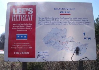
During this day, the entire Confederate line would march west on the Rice-Deatonville Road toward Farmville. Constantly pressing Lee's rearguard, Union troops would fight a brief action at every turn. These delays would eventually lead to the Battle of Sailor's Creek.
Next Stop
Holt's Corner
3.5 miles
Erected by Lee's Retreat. (Marker Number 8.)
Topics. This historical marker is listed in this topic list: War, US Civil. A significant historical date for this entry is April 6, 1865.
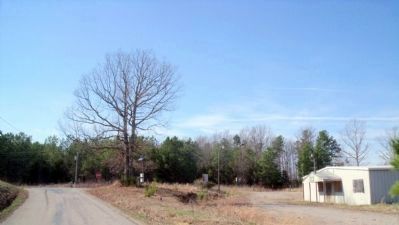
Location. Marker has been permanently removed. It was located near 37° 19.739′ N, 78° 10.117′ W. Marker was in Deatonville, Virginia, in Amelia County. It was on East Sayler's Creek Road (Virginia Route 617) east of South Genito Road ( Route 616), on the right when traveling west. Touch for map. Marker was at or near this postal address: 25450 E Sayler's Creek Rd, Jetersville VA 23083, United States of America.
We have been informed that this marker is no longer there and will not be replaced. This page is an archival view of what was.
Regionally, this marker was in the Piedmont and in Central Virginia. It was also in the American South

this page online
Other nearby markers. At least 8 other markers are within 4 miles of this location, measured as the crow flies: A different marker also named Deatonville (here, next to this marker); W. R. Turner Memorial Trek (approx. 2½ miles away); a different marker also named Holt's Corner (approx. 2½ miles away); Overton/Hillsman House (approx. 3.1 miles away); Battle of Sailor's (Sayler's) Creek (approx. 3.2 miles away); The Federal Artillery Barrage (approx. 3.2 miles away); Rock Formations At Sailor's Creek (approx. 3.3 miles away); Amelia Springs (approx. 3.3 miles away).
Other markers no longer nearby. Holt’s Corner (was approx. 2½ miles away but has been permanently removed); Hillsman House (was approx. 3.2 miles away but has been permanently removed); a different marker also named Overton/Hillsman House
Photographed by Bernard Fisher, May 19, 2018
2. New location
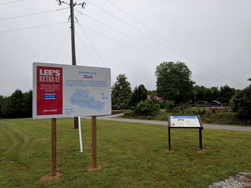
Regarding Deatonville. This marker was previously located 0.4 mi north at the intersection of St James Rd & S Genito Rd (37.332085N, 78.161719W).
Photographed by Bernard Fisher, March 18, 2010
3. Old location
Credits. This page was last revised on February 19, 2026. It was originally submitted on March 20, 2010, by Bernard Fisher of Richmond, Virginia. This page has been viewed 2,664 times since then and 82 times this year. Last updated on February 19, 2026, by Evan Dwyer of Richmond, Virginia. Photos: 1. submitted on March 20, 2010, by Bernard Fisher of Richmond, Virginia. 2. submitted on May 20, 2018, by Bernard Fisher of Richmond, Virginia. 3. submitted on March 20, 2010, by Bernard Fisher of Richmond, Virginia. • Devry Becker Jones was the editor who published this page.
