Culpeper in Culpeper County, Virginia — The American South (Mid-Atlantic)
Signal Stations
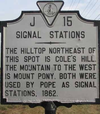
Photographed by Craig Swain, January 5, 2008
1. Signal Stations Marker
Erected 1946 by Virginia Conservation & Development Commission. (Marker Number J-15.)
Topics and series. This historical marker is listed in this topic list: War, US Civil. In addition, it is included in the Virginia Department of Historic Resources (DHR) series list. A significant historical year for this entry is 1862.
Location. 38° 27.065′ N, 77° 56.988′ W. Marker is in Culpeper, Virginia, in Culpeper County. It is on Germanna Highway (State Highway 3), on the right when traveling east. Touch for map. Marker is in this post office area: Culpeper VA 22701, United States of America. Touch for directions.

Regionally, this marker is in the Washington Metropolitan Area and in Northern Virginia. It is also in the American South, specifically in the Upper South, and in the Mid-Atlantic. Globally, it is in North America, the Western Hemisphere, the Western World, and the Anglosphere. Historically, it finds itself in what was once the territory of the Mississippian Culture,
this page online
Other nearby markers. At least 8 other markers are within 3 miles of this marker, measured as the crow flies: 10th Maine Volunteer Infantry (approx. 2.6 miles away); Second Massachusetts Infantry (approx. 2.6 miles away); Pennsylvania (approx. 2.6 miles away); 28th Regiment New York State Volunteer Infantry (approx. 2.6 miles away); Civil War Soldiers (approx. 2.6 miles away); Seventh Ohio Regiment (approx. 2.6 miles away); Culpeper National Cemetery (approx. 2.7 miles away); A National Cemetery System (approx. 2.7 miles away). Touch for a list and map of all markers in Culpeper.
Photographed by Craig Swain, January 5, 2008
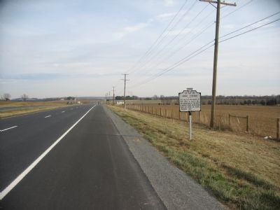
2. Signal Stations Marker
Cole's Mountain can be seen in the far left.
Photographed by Craig Swain, January 5, 2008
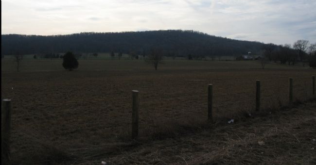
3. Mount Pony Seen from the Marker Location
The north side of Mount Pony is wooded and a modern signal tower is at the geographic crest. Compare this to the southwest side view seen from the nearby marker for the Mount Pony Signal Station.
Photographed by Craig Swain, January 5, 2008
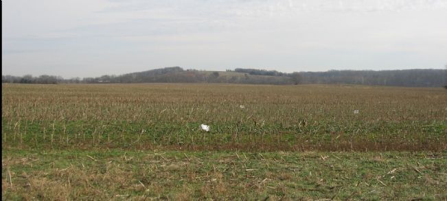
4. Cole's Mountain
Seen from CR 663 to the north of the marker location. During the Battle of Brandy Station, Federal cavalry maneuvered around the mountain.
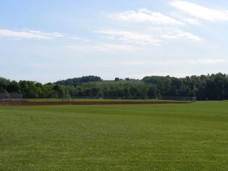
Photographed by Pete Payette, May 8, 2017
5. Cole's Hill as seen from the Lenn Park pavilion on Stevensburg Road
Credits. This page was last revised on November 13, 2025. It was originally submitted on January 6, 2008, by Craig Swain of Leesburg, Virginia. This page has been viewed 1,816 times since then and 42 times this year. Last updated on November 12, 2025, by Evan Dwyer of Richmond, Virginia. Photos: 1, 2, 3, 4. submitted on January 6, 2008, by Craig Swain of Leesburg, Virginia. 5. submitted on May 10, 2017, by Pete Payette of Orange, Virginia. • Bernard Fisher was the editor who published this page.
