Chester in Hancock County, West Virginia — The American South (Appalachia)
State Of Ohio
⎯⎯⎯
Hancock County
Photographed by Craig Doda, March 29, 2025
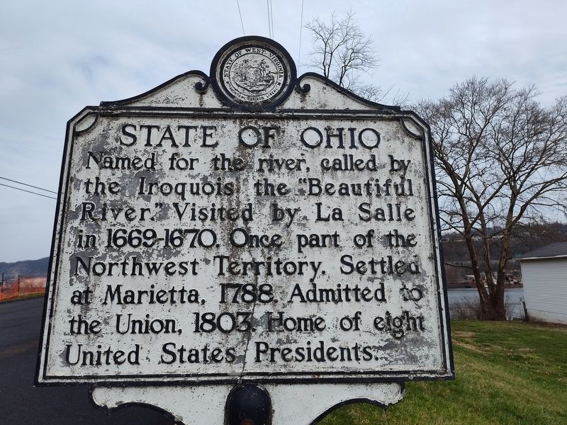
1. State Of Ohio side of marker
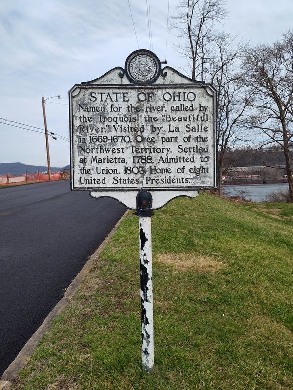
State Of Ohio. Named for the river, called by the Iroquois the "Beautiful River Visited by La Salle in 1669-1670. Once part of the Northwest Territory. Settled at Marietta, 1788. Admitted to the Union, 1803 Home of eight United States Presidents.
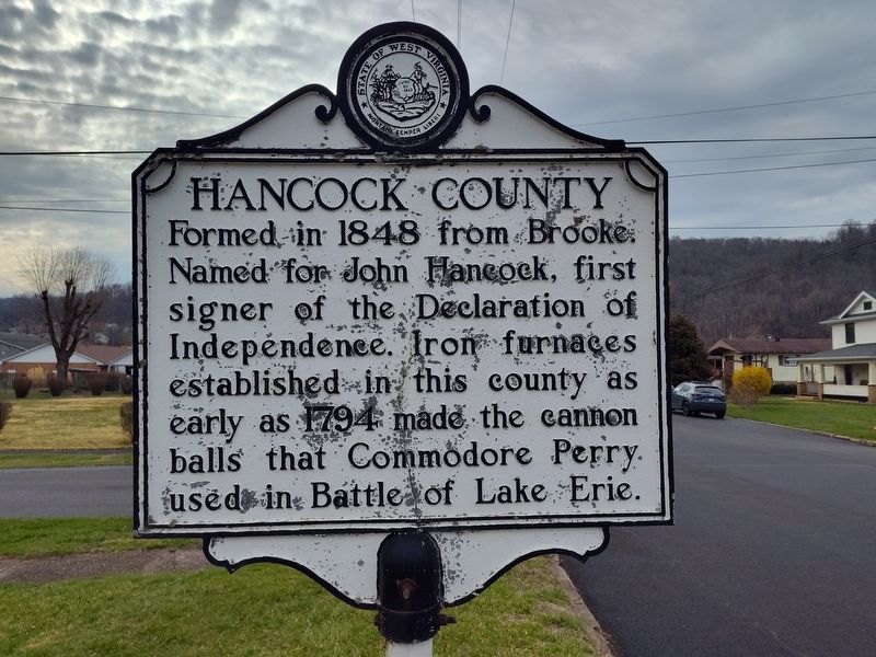
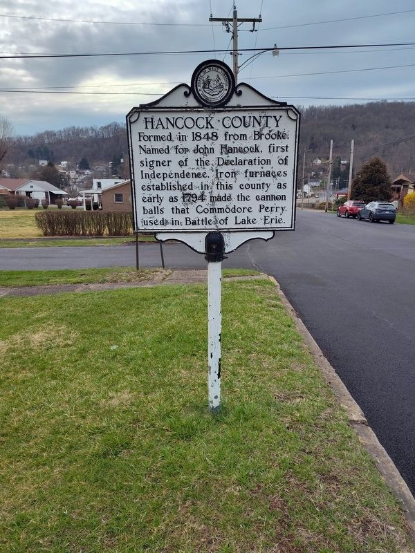
Hancock County. Formed in 1848 from Brooke. Named for John Hancock, first signer of the Declaration of Independence. Iron furnaces established in this county as early as 1794 made the cannon balls that Commodore Perry. used in Battle of Lake Erie.
Topics. This historical marker is listed in these topic lists: Indigenous Peoples and Communities • Political Subdivisions • Settlements & Settlers • War of 1812. A significant historical year for this entry is 1788.
Location. 40° 36.694′ N, 80° 34.318′ W. Marker is in Chester, West Virginia, in Hancock County. It is at the intersection of 1st Street and Columbia Drive, on the right when traveling north on 1st Street. Touch for map. Marker is at or near this postal address: 128 1st St, Chester WV 26034, United States of America. Touch for directions.

Regionally, this marker is in the Northern Panhandle and in the High
this page online
Other nearby markers. At least 8 other markers are within walking distance of this marker: Ohio's Gateway (approx. 0.3 miles away in Ohio); The Pottery Capital of America (approx. 0.3 miles away in Ohio); Veterans Memorial Park (approx. 0.4 miles away); Collins Memorial Drive (approx. 0.4 miles away); Chester Veterans Memorial (approx. 0.4 miles away); Chester World War I & World War II Veterans Memorial (approx. 0.4 miles away); Veterans Memorial (approx. 0.4 miles away); Veterans of Foreign Wars of the United States (approx. 0.4 miles away). Touch for a list and map of all markers in Chester.
Photographed by Craig Doda, March 29, 2025
2. Hancock County side of marker
Photographed by Craig Doda, March 29, 2025
3. State Of Ohio / Hancock County Marker
Photographed by Craig Doda, March 29, 2025
4. State Of Ohio / Hancock County Marker
Credits. This page was last revised on November 16, 2025. It was originally submitted on April 1, 2025, by Craig Doda of Napoleon, Ohio. This page has been viewed 133 times since then and 31 times this year. Last updated on November 16, 2025, by Trevor L Whited of Kokomo, Indiana. Photos: 1, 2, 3, 4. submitted on April 1, 2025, by Craig Doda of Napoleon, Ohio. • Devry Becker Jones was the editor who published this page.
