Guildford in Surrey, England, United Kingdom — Northwestern Europe (the British Isles)
Quakers' Acre
Photographed by Stephen Palmer, November 18, 2025
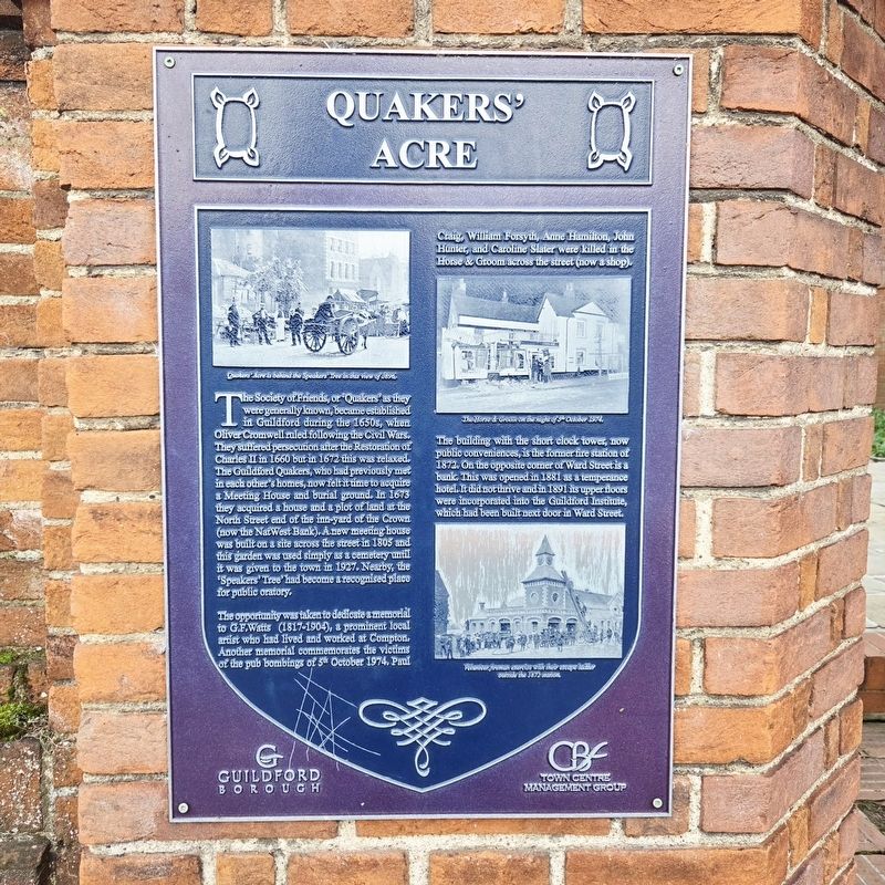
1. Quakers' Acre Marker
The Society of Friends, or ‘Quakers’ as they were generally known, became established in Guildford during the 1650s, when Oliver Cromwell ruled following the Civil Wars. They suffered persecution after the Restoration of Charles II in 1660 but in 1672 this was relaxed. The Guildford Quakers, who had previously met in each other's homes, now felt it time to acquire a Meeting House and burial ground. In 1673 they acquired a house and a plot of land at the North Street end of the inn-yard of the Crown (now the NatWest Bank). A new meeting house was built on a site across the street in 1805 and this garden was used simply as a cemetery until it was given to the town in 1927. Nearby, the 'Speakers Tree’ had become a recognised place for public oratory.
The opportunity was taken to dedicate a memorial to G.F.Watts (1817-1904), a prominent local artist who had lived and worked at Compton. Another memorial commemorates the victims of the pub bombings of 5th October 1974. Paul Craig, William Forsyth, Anne Hamilton, John Hunter, and Caroline Slater were killed in the Horse & Groom across the street (now a shop).
The building
this page online
Erected by Guildford Borough.
Topics and series. This historical marker is listed in these topic lists: Arts, Letters, Music • Cemeteries & Burial Sites • Religion & Religious Structures. In addition, it is included in the Quakerism series list. A significant historical year for this entry is 1673.
Location. 51° 14.211′ N, 0° 34.322′ W. Marker is in Guildford, England, in Surrey. It is on North Street, on the left when traveling west. Touch for map. Marker is at or near this postal address: 76 North Street, Guildford, England GU1 4AW, United Kingdom. Touch for directions.

Regionally, this marker is in the Greater South East. Globally, it is on the Atlantic Ocean, in the North Atlantic Region, in Europe, in Atlantic Europe, on one of the British Isles, in the Western World, and in the
Photographed by Stephen Palmer, November 18, 2025
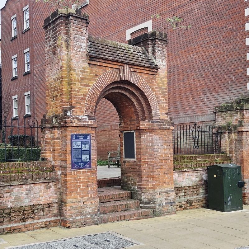
2. Quakers' Acre Marker
Other nearby markers. At least 8 other markers are within walking distance of this marker: Guildhall (about 90 meters away, measured in a direct line); Abbot's Hospital (about 120 meters away); Holy Trinity Church (about 120 meters away); Holy Trinity Church: a thousand years of Christian history (about 120 meters away); The Three Pigeons (about 120 meters away); Tunsgate Arch (about 120 meters away); a different marker also named Abbot's Hospital (about 150 meters away); Holy Trinity Churchyard: a place for peace and reflection (about 150 meters away). Touch for a list and map of all markers in Guildford.
Photographed by Stephen Palmer, November 18, 2025
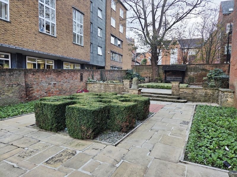
3. Quakers' Acre
Credits. This page was last revised on November 22, 2025. It was originally submitted on November 19, 2025, by Stephen Palmer of Ascot, England. This page has been viewed 33 times since then and 10 times this year. Photos: 1, 2, 3. submitted on November 19, 2025, by Stephen Palmer of Ascot, England. • Andrew Ruppenstein was the editor who published this page.
