
Perryville in Boyle County, Kentucky — The American South (East South Central)
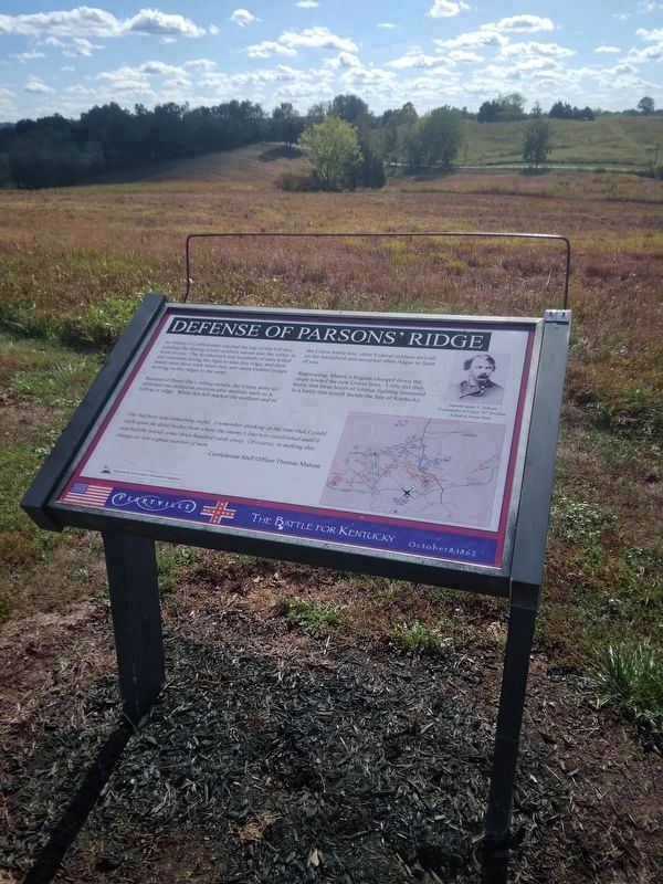
Defense Of Parsons' Ridge
Perryville • The Battle For Kentucky
| — | October 8, 1862 | — |

Photographed by Bradley Owen, October 17, 2025
1. Defense Of Parsons' Ridge Marker
As Maney’s Confederates reached the top of this hill they watched the fleeing Union soldiers retreat into the valley in front of you. The Southerners lost hundreds of men killed and wounded during the fight to take this ridge, and their hearts must have sunk when they saw more Federal troops arriving on the ridges to the west.
Because of Perryville’s rolling terrain, the Union army established one defensive position after another, each on a hilltop or ridge. While this hill marked the northern end of the Union battle line, other Federal soldiers arrived on the battlefield and occupied other ridges in front of you.
Regrouping, Maney’s brigade charged down the slope toward the new Union lines. Little did they know that three hours of intense fighting remained in a battle that would decide the fate of Kentucky.
The butchery was something awful. I remembered thinking at the time that I could walk upon dead bodies from where the enemy’s line was established until it reached the woods some three hundred yards away. Of course, in making this charge we lost a great number of men.
- Confederate Staff Officer Thomas Malone
(Caption):
General James S. Jackson Commander of Union 10th Division, Killed in Action Here
Erected by Joe
this page online
Topics. This historical marker is listed in this topic list: War, US Civil.
Location. 37° 40.642′ N, 84° 58.382′ W. Marker is in Perryville, Kentucky, in Boyle County. It can be reached from Park Road 0.3 miles west of Battlefield Road (Kentucky Route 1920). Marker is located on the Confederate Right Trail at the Perryville Battlefield State Historic Site. Touch for map. Marker is at or near this postal address: 1825 Battlefield Road, Perryville KY 40468, United States of America. Touch for directions.

Regionally, this marker is in Kentucky’s Bluegrass Region. It is also in the American South and specifically in the Upper South. Globally, it is in North America, the Western Hemisphere, the Western World, and the Anglosphere. Historically, it finds itself in what was once the territory of the Mississippian Culture and also the Antebellum South.
Other nearby markers. At least 8 other markers are within walking distance of this marker: On this Spot Brig. Gen. James S. Jackson Fell (a few steps from this marker); a different marker
Photographed by Mike McKeown, October 7, 2023
2. Defense Of Parsons' Ridge Marker
Other markers no longer nearby. Defense of Parsons’ Ridge (was here, next to this marker but has been replaced with another marker now near it); a different marker also named Defense of Parsons’ Ridge (was a few steps from this marker but has been replaced with another marker now near it); The Cornfield (was about 400 feet away but has been replaced with another marker now near it); Assault on Parsons’ Ridge (was about 500 feet away but has been replaced with another marker now near it); Turner's Battery (was approx. 0.2 miles away but has been permanently removed); a different marker also named Maney's Attack (was approx. 0.2 miles away but has been replaced with another marker now near
Photographed by Bradley Owen, October 17, 2025
3. Defense Of Parsons' Ridge Marker
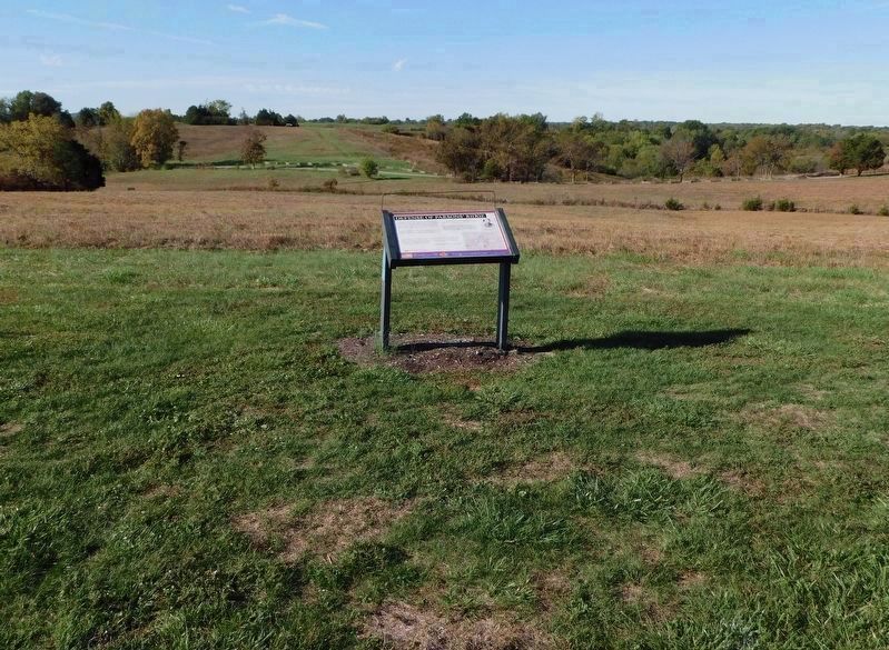
View is looking southwest, towards the position of the new Union lines described on this marker.
Regarding Defense Of Parsons' Ridge. Marker includes a map: Battle of Perryville, October 8, 1862, 3:15 PM.
Related marker. Click here for another marker that is related to this marker. This marker has replaced another at this location.
Credits. This page was last revised on November 27, 2025. It was originally submitted on November 20, 2025, by Bradley Owen of Morgantown, West Virginia. This page has been viewed 84 times since then and 47 times this year. Photos: 1. submitted on November 20, 2025, by Bradley Owen of Morgantown, West Virginia. 2. submitted on November 27, 2025, by Mike McKeown of Baltimore, Maryland. 3. submitted on November 20, 2025, by Bradley Owen of Morgantown, West Virginia.
