Natchez in Adams County, Mississippi — The American South (East South Central)
Andrew Ellicott
Photographed by Cosmos Mariner, June 24, 2025
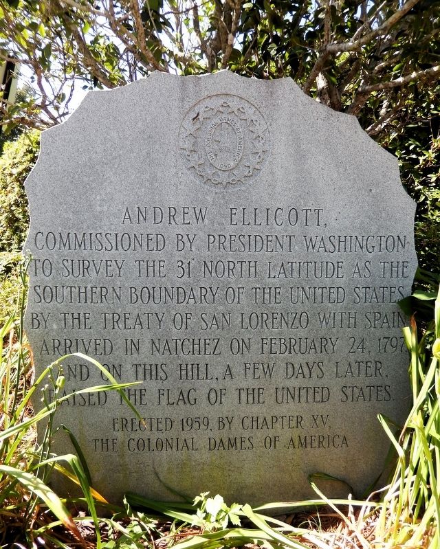
1. Andrew Ellicott Marker
Andrew Ellicott, commissioned by President Washington to survey the 31° North latitude as the southern boundary of the United States by the Treaty of San Lorenzo with Spain, arrived in Natchez on February 24, 1797, and on this hill, a few days later, raised the flag of the United States.
Erected 1959 by Chapter XV, The Colonial Dames of America.
Topics and series. This historical marker is listed in this topic list: Notable Events. In addition, it is included in the The Colonial Dames of America, National Society of series list. A significant historical date for this entry is February 24, 1797.
Location. 31° 33.76′ N, 91° 24.23′ W. Marker is in Natchez, Mississippi, in Adams County. It can be reached from Jefferson Street just west of North Wall Street, on the left when traveling west. The marker is located on the west side of the House on Ellicott's Hill, between the house and the visitor parking lot. Touch for map. Marker is at or near this postal address: 211 North Canal Street, Natchez MS 39120, United States of America. Touch for directions.

Regionally, this marker is in Southwest Mississippi and in Natchez Trace Corridor.
this page online
Other nearby markers. At least 8 other markers are within walking distance of this marker: House on Ellicott's Hill (a few steps from this marker); Intersection of North Canal and Jefferson streets (within shouting distance of this marker); Natchez Civil Rights — The Civil Rights Movement (within shouting distance of this marker); Natchez Civil Rights Movement — 1965 — Pivotal Year (within shouting distance of this marker); Natchez Civil Rights — Heroines, Heroes, and Martyr (within shouting distance of this marker); The Parchman Ordeal (within shouting distance of this marker); Andrew Marschalk (about 300 feet away, measured in a direct line); Bluff Park and North Broadway Street (about 500 feet away).
Photographed by Cosmos Mariner, June 24, 2025
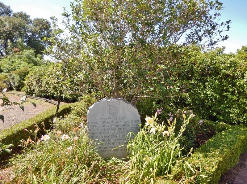
2. Andrew Ellicott Marker
The marker is amongst the shrubs behind (on the west side of) the House on Ellicott’s Hill, adjacent to the visitor parking lot.
Related markers. Click here for a list of markers that are related to this marker. Ellicott's Hill
Also see . . .
1. Andrew Ellicott (Wikipedia).
Excerpt: Andrew Ellicott (January 24, 1754 – August 28, 1820) was an American land surveyor who helped map many of the territories west of the Appalachians, surveyed the boundaries of the District of Columbia, continued and completed Pierre (Peter) Charles L'Enfant's work on the plan for Washington, D.C., and served as a teacher in survey methods for Meriwether Lewis.(Submitted on November 27, 2025, by Cosmos Mariner of Cape Canaveral, Florida.)
In 1796, George Washington commissioned Ellicott as the U.S. representative on the commission for the survey of the southern border between the Spanish territories along the Gulf of Mexico coast in Florida and the United States as negotiated in the Treaty of San Lorenzo (also known as Treaty of Madrid) of 1795. Ellicott travelled with a military escort from Pittsburgh via the Ohio and Mississippi rivers and worked together with Spanish commissioners, despite many difficulties, for the next four years.
2. House on Ellicott's Hill (Wikipedia).
Excerpt: The House on Ellicott Hill stands on property acquired as a Spanish grant in 1797 by Natchez merchant James Moore. The hill was the site of the encampment of Andrew Ellicott, sent by President George Washington to survey the boundary of the new Mississippi Territory with Spain. According to Dr. William Morton ("Andrew Ellicott, Stargazer"), it was Ellicott who first raised the American flag from this hill, to which Spanish Governor Gayoso responded by aiming his fort's cannon in its direction.(Submitted on November 27, 2025, by Cosmos Mariner of Cape Canaveral, Florida.)
3. Treaty of San Lorenzo (Wikipedia).
Excerpt: Pinckney's Treaty, also known as the Treaty of San Lorenzo or the Treaty of Madrid, was signed on October 27, 1795, by the United States and Spain. It defined the border between the United States and Spanish Florida and guaranteed the United States navigation rights on the Mississippi River. With this agreement, the first phase of the ongoing border dispute between the two nations in this region, commonly called the West Florida Controversy, came to a close.(Submitted on November 27, 2025, by Cosmos Mariner of Cape Canaveral, Florida.)
Credits. This page was last revised on November 27, 2025. It was originally submitted on November 21, 2025, by Cosmos Mariner of Cape Canaveral, Florida. This page has been viewed 142 times since then and 72 times this year. Photos: 1, 2. submitted on November 27, 2025, by Cosmos Mariner of Cape Canaveral, Florida.
