Near De Soto in Washington County, Nebraska — The American Midwest (Upper Plains)
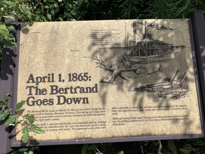
April 1, 1865: The Bertrand Goes Down
Photographed by Barry Swackhamer, July 16, 2025
1. April 1, 1865: The Bertrand Goes Down Marker
A dawn on April 1, the boat left Omaha and proceeded up river, making almost 25 miles by mid-afternoon. At 3 pm the boat rode up on a snag, causing the stern to swap with water. The passengers and crew, were able to scramble to safety, but the boat and its cargo sank to the bottom. Only the superstructure, pilot house and smokestacks remainder above water.
Although some of the upper fittings were removed soon after the sinking, the shifting sediments of the river soon obliterated all traces of the steamboat.
Topics. This historical marker is listed in these topic lists: Disasters • Waterways & Vessels. A significant historical date for this entry is April 1, 1865.
Location. 41° 31.319′ N, 96° 1.756′ W. Marker is near De Soto, Nebraska, in Washington County. It can be reached from De Soto Lake Road near Lincoln Highway (U.S. 30). The De Soto Wildlife Refuge must be accessed from
this page online

Regionally, this marker is in Eastern Nebraska and in Greater Omaha. It is also in the American Midwest, in the Lewis & Clark Corridor, in the Corn Belt, and on the prairies. Globally, it is in North America, the Western Hemisphere, the Western World, and the Anglosphere. Historically, it finds itself in what was once the Louisiana Purchase.
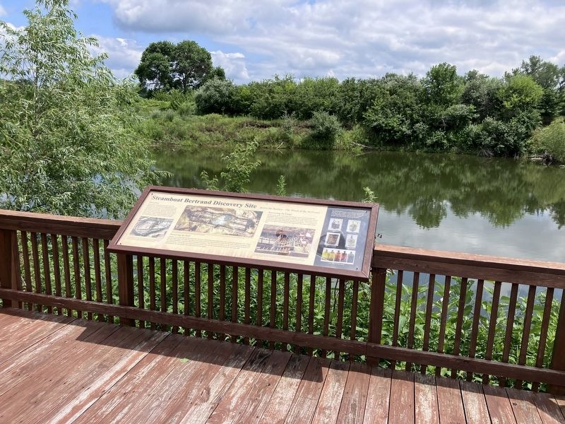
Other nearby markers. At least 8 other markers are within 5 miles of this marker, measured as the crow flies: Steamboat Bertrand Discovery Site (here, next to this marker); Steamboat Bertrand (about 300 feet away, measured in a direct line); The Lewis and Clark Expedition (approx. 0.7 miles away); Up the Missouri (approx. 0.7 miles away); Lewis and Clark Campsite Area (approx. 1.4 miles away); DeSoto Townsite (approx. 2.7 miles away); Metz Bros. Brewing Co. (approx. 4.6 miles away); Fort Atkinson (approx. 4.6 miles away).
Photographed by Barry Swackhamer, July 16, 2025
2. The April 1, 1865: The Bertrand Goes Down Marker is just to the right of the marker pictured.
Photographed by Barry Swackhamer, July 16, 2025
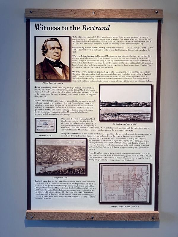
3. An Account of the Sinking of the Bertrand. pt. 1
Click on the image to enlarge it and read the account.
Note: The Civil War was still in progress at the time.
Photographed by Barry Swackhamer, July 16, 2025
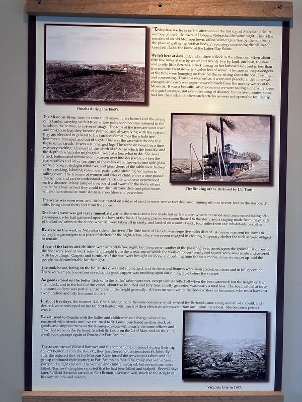
4. An Account of the Sinking of the Bertrand pt. 2
Click on the image to enlarge it and read the account.
Note: The Civil War was still in progress at the time.
Credits. This page was last revised on December 11, 2025. It was originally submitted on November 22, 2025, by Barry Swackhamer of Brentwood, California. This page has been viewed 64 times since then and 33 times this year. Photos: 1, 2, 3, 4. submitted on November 22, 2025, by Barry Swackhamer of Brentwood, California.
