Hiawassee in Towns County, Georgia — The American South (South Atlantic)
The Unicoi Turnpike
Photographed by Tim Fillmon, October 27, 2025
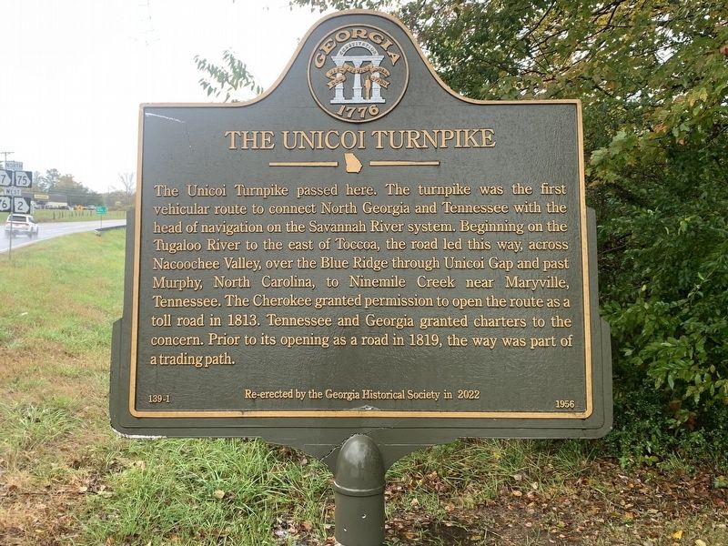
1. The Unicoi Turnpike Marker
The Unicoi Turnpike passed here. The turnpike was the first vehicular route to connect North Georgia and Tennessee with the head of navigation on the Savannah River system. Beginning on the Tugaloo River to the east of Toccoa, the road led this way, across Nacoochee Valley, over the Blue Ridge through Unicoi Gap and past Murphy, North Carolina, to Ninemile Creek near Maryville, Tennessee. The Cherokee granted permission to open the route as a toll road in 1813. Tennessee and Georgia granted charters to the concern. Prior to its opening as a road in 1819, the way was part of a trading path.
Erected 1956 by Georgia Historical Society. (Marker Number 139-1.)
Topics. This historical marker is listed in this topic list: Roads & Vehicles. A significant historical year for this entry is 1813.
Location. 34° 55.166′ N, 83° 43.771′ W. Marker is in Hiawassee, Georgia, in Towns County. It is at the intersection of U.S. 76 and Georgia Route 17/75, on the right when traveling west on U.S. 76. Touch for map. Marker is in this post office area: Hiawassee GA 30546, United States of America. Touch for directions.

Regionally,
this page online
Other nearby markers. At least 8 other markers are within 6 miles of this marker, measured as the crow flies: Towns County (approx. 2½ miles away); Logan Turnpike (approx. 5.6 miles away); Designated Wilderness (approx. 5.6 miles away); Gold Rush Spurs Cherokee Removal (approx. 5.6 miles away); Returning Fire to the Mountains (approx. 5.6 miles away); Appalachian Trail (approx. 5.6 miles away); Brasstown Bald (approx. 5.6 miles away); a different marker also named Brasstown Bald (approx. 6 miles away). Touch for a list and map of all markers in Hiawassee.
More about this marker. Marker is a recasting of one erected by the Georgia

Photographed by Tim Fillmon, October 27, 2025
2. The Unicoi Turnpike Marker
Credits. This page was last revised on November 23, 2025. It was originally submitted on November 23, 2025, by Tim Fillmon of Webster, Florida. This page has been viewed 56 times since then and 22 times this year. Photos: 1, 2. submitted on November 23, 2025, by Tim Fillmon of Webster, Florida.
