Ariton in Dale County, Alabama — The American South (East South Central)
James J. Dean
1836-1902

Photographed by James L.Whitman, November 27, 2025
1. James J. Dean 1836-1902 Marker
Topics. This historical marker is listed in these topic lists: Religion & Religious Structures • Settlements & Settlers • War, US Civil. A significant historical year for this entry is 1888.
Location. 31° 36.06′ N, 85° 42.48′ W. Marker is in Ariton, Alabama, in Dale County. It is at the intersection of Clio Road (State Highway 51) and Powell Circle, on the right when traveling east on Clio Road. Touch for map. Marker is at or near this postal address: 281 Powell Cir, Ariton AL 36311, United States of America. Touch for directions.

Regionally, this marker is in the American South, specifically in the Deep South, and in the Wiregrass. Globally, it is in North America, a Gulf of Mexico state, the Western Hemisphere, the Western World, and the Anglosphere. Historically, it finds itself in what was once the territory of the Mississippian Culture, one of the Confederate States of America, and the Antebellum South.
Other nearby markers. At least 8 other markers are within 9 miles of this marker, measured as the crow flies: Willie Mae "Big Mama" Thornton (approx. 0.6 miles away); Veterans Memorial Bridge - 1921 / Grist Mill - Indian Battle - Recreation (approx. 4½ miles away); Pleasant Hill Cemetery (approx. 5.3 miles away); Veterans Memorial (approx. 5.6 miles away); Union (Arguta) Cemetery (approx. 6.9 miles away); Union Presbyterian Church / Founders and Early Pastors (approx. 6.9 miles away); Williams Chapel United Methodist Church (approx. 7.7 miles away); Greater Old Salem Cemetery
this page online
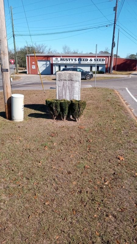
Photographed by James L.Whitman, November 27, 2025
2. James J. Dean 1836-1902 Marker
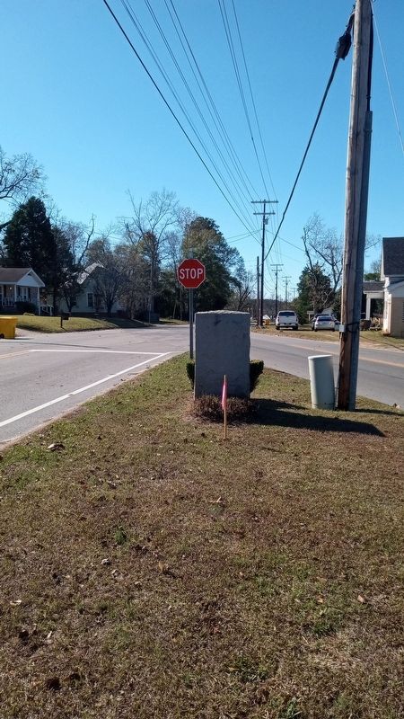
Photographed by James L.Whitman, November 27, 2025
3. James J. Dean 1836-1902 Marker
Credits. This page was last revised on November 29, 2025. It was originally submitted on November 27, 2025, by James L.Whitman of Eufaula, Alabama. This page has been viewed 88 times since then and 48 times this year. Photos: 1, 2, 3. submitted on November 27, 2025, by James L.Whitman of Eufaula, Alabama. • James Hulse was the editor who published this page.
