Ocean Springs in Jackson County, Mississippi — The American South (East South Central)
Iberville 1661-1706
⎯⎯⎯
1699 Historical Committee
Photographed by Cajun Scrambler, November 28, 2025
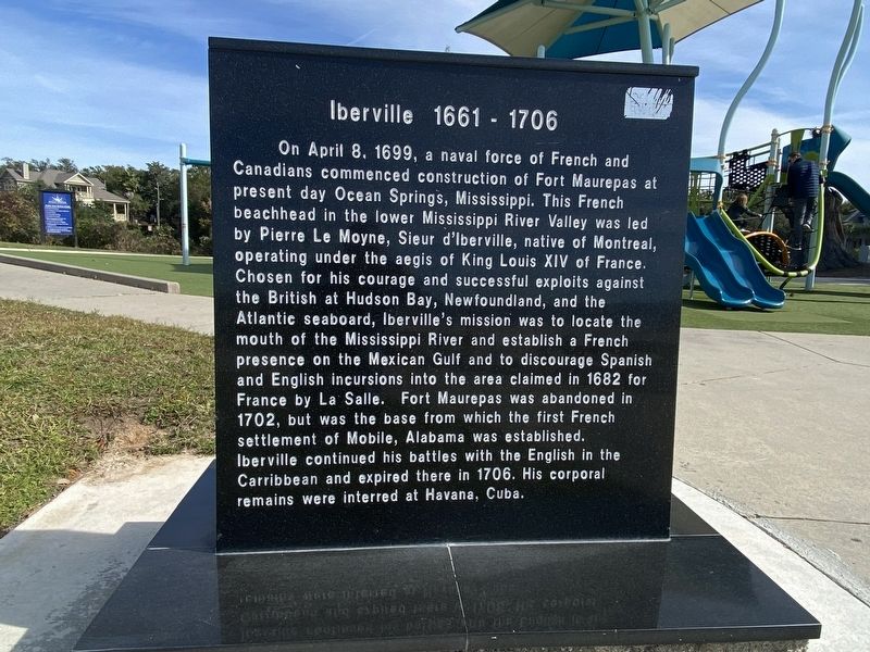
1. Iberville side of marker
On April 8, 1699, a naval force of French and Canadians commenced construction of Fort Maurepas at present day Ocean Springs, Mississippi. This French beachhead in the lower Mississippi River Valley was led by Pierre Le Moyne, Sieur d'Iberville, native of Montreal, operating under the aegis of King Louis XIV of France. Chosen for his courage and successful exploits against the British at Hudson Bay, Newfoundland, and the Atlantic seaboard, Iberville's mission was to locate the mouth of the Mississippi River and establish a French presence on the Mexican Gulf and to discourage Spanish and English incursions into the area claimed in 1682 for France by La Salle. Fort Maurepas was abandoned in 1702, but was the base from which the first French settlement of Mobile, Alabama was established. Iberville continued his battles with the English in the Carribbean and expired there in 1706. His corporal remains were interred at Havana, Cuba.
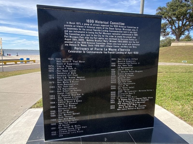
In March 1971, a group of citizens organized the 1699 Historical Committee to promote an interest in historical events of the Ocean Springs, Mississippi
this page online
Portrayers of Pierre Le Moyne d'Iberville Celebration to Commemorate the French Landing of April 1699
Names and dates listed
Erected by 1699 Historical Committee.
Topics. This historical marker is listed in these topic lists: Exploration • Forts and Castles • Parks & Recreational Areas. A significant historical date for this entry is April 8, 1699.
Location. 30° 24.341′ N, 88° 49.739′ W. Marker is in Ocean Springs, Mississippi, in Jackson County. It is on Front Beach Drive. Touch for map. Marker is at or near this postal address: 499 Front Beach Dr, Ocean Springs
Photographed by Cajun Scrambler, November 28, 2025
2. 1699 Historical Committee side of marker

Regionally, this marker is in the American South, specifically in the Deep South, and on the Gulf Coast. Globally, it is in North America, a Gulf of Mexico state, the Western Hemisphere, the Western World, and the Anglosphere. Historically, it finds itself in what was once New Spain, the Viceroyalty of New France, the territory of the Mississippian Culture, one of the Confederate States of America, and the Antebellum South.
Other nearby markers. At least 8 other markers are within walking distance of this marker: The Nine Flags of Mississippi (within shouting distance of this marker); Ocean Springs (about 300 feet away, measured in a direct line); Jackson Avenue (about 600 feet away); Little Children's Park (approx. ¼ mile away); Washington Avenue (approx. 0.3 miles away); The Austin House (approx. 0.3 miles away); Southern Live Oak (approx. 0.3 miles away); The Old Ocean Springs Historic District (approx. 0.4 miles away). Touch for a list and map of all markers in Ocean Springs.
Another marker is no longer nearby. Ocean Springs Tree Tales... (was approx.
Photographed by Cajun Scrambler, November 28, 2025
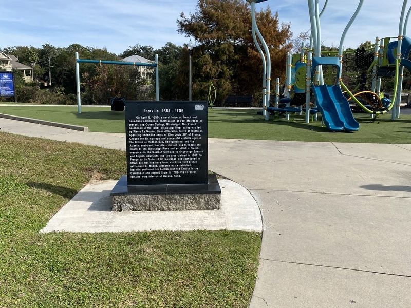
3. Iberville 1661-1706 / 1699 Historical Committee Marker
More about this marker. Located in the Fort Maurepas Park
Photographed by Cajun Scrambler, November 28, 2025
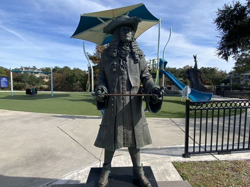
4. Iberville statue located next to marker
Credits. This page was last revised on November 29, 2025. It was originally submitted on November 29, 2025, by Cajun Scrambler of Assumption, Louisiana. This page has been viewed 98 times since then and 45 times this year. Photos: 1, 2, 3, 4. submitted on November 29, 2025, by Cajun Scrambler of Assumption, Louisiana.
