Huntersville in Mecklenburg County, North Carolina — The American South (South Atlantic)
Huntersville School #2
“The Little School”
| — | Torrence~Lytle Community Center | — |
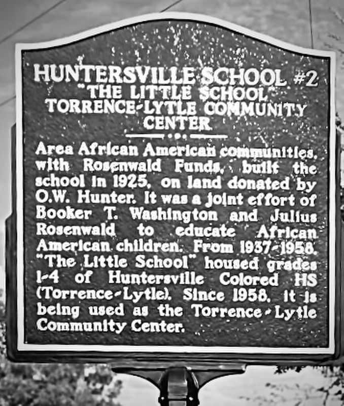
Photographed by Brandon D Cross
1. Huntersville School #2 Marker
Erected 2025.
Topics and series. This historical marker is listed in these topic lists: African Americans • Civil Rights • Education. In addition, it is included in the Rosenwald Schools series list. A significant historical year for this entry is 1925.
Location. 35° 24.267′ N, 80° 50.067′ W. Marker is in Huntersville, North Carolina, in Mecklenburg County. It is at the intersection of Dellwood Drive and Central Avenue, on the left when traveling west on Dellwood Drive. The marker is located in front of the Torrence~Lyle Community Center. Touch for map. Marker is at or near this postal address: 508 Dellwood Drive, Charlotte NC 28209, United States of America. Touch for directions.

Regionally, this marker is in the Piedmont and in
this page online
Other nearby markers. At least 8 other markers are within 4 miles of this marker, measured as the crow flies: James Hoyt Wilhelm (approx. 1.1 miles away); The Kitchen Trail (approx. 2.9 miles away); Visit the Store & Take a Tour (approx. 2.9 miles away); Hugh Torance House & Store c. 1779 (approx. 2.9 miles away); The Enslaved of Torrance Plantation (approx. 2.9 miles away); Hugh Torance (approx. 2.9 miles away); Ramah Presbyterian Church and Cemetery (approx. 3 miles away); Signers of Mecklenburg Declaration of Independence (approx. 3.3 miles away). Touch for a list and map of all markers in Huntersville.
Also see . . .
1. Huntersville Rosenwald School turned community center celebrates centennial. (Submitted on December 1, 2025, by Brandon D Cross of Flagler Beach, Florida.)
2. New Historical marker spotlights.
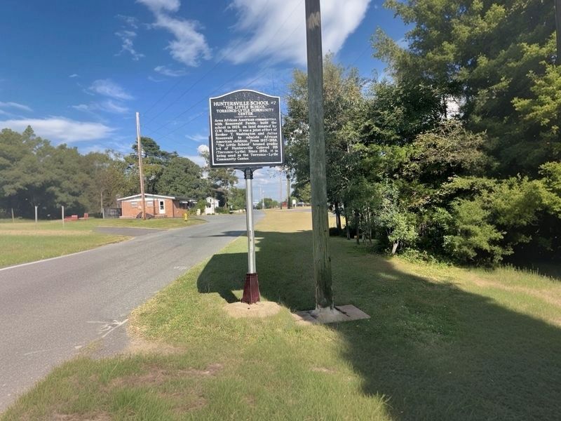
Photographed by Brandon D Cross
2. Huntersville School #2 Marker
Credits. This page was last revised on December 1, 2025. It was originally submitted on December 1, 2025, by Brandon D Cross of Flagler Beach, Florida. This page has been viewed 85 times since then and 48 times this year. Photos: 1, 2. submitted on December 1, 2025, by Brandon D Cross of Flagler Beach, Florida. • Andrew Ruppenstein was the editor who published this page.
