Preston in Fillmore County, Minnesota — The American Midwest (Upper Plains)
Agriculture and Angling

Photographed by McGhiever, October 5, 2025
1. Agriculture and Angling Marker
Growing for the Mills
The historic grain elevator reminds us of Preston's early agricultural years
Settled in 1853, Preston is named for Luther Preston, the town's millwright and first postmaster. Located on the South Branch of the Root River, the town's early history was defined by flour milling, agriculture, and its struggle to gain railroad access. The railroad finally arrived in Preston in 1879, enabling area farmers to reach larger markets with their crops. The town's historic grain elevator, the Milwaukee Elevator Company Grain Elevator, was built around 1890 to hold grain for rail shipments heading east. It was built using cribbed construction of interlocking bins, a strong and expensive type of elevator construction.
The restored grain elevator next to the trailhead is a reminder of Preston's agricultural heritage.
Did You Know?
Minnesota has two native trout species - brook trout ("brookies") and lake trout.
Brookies live in only the cleanest, clearest water.
Angling for Trout
Cold, clean Blufflands streams create an ideal habitat for trout
Preston is home to remarkable freshwater resources
this page online
Trout thrive in clear, cold streams.
When the railroad finally arrived, Preston, shown here in 1900, grew quickly to serve the surrounding agricultural community.
Erected by the Minnesota Department of Natural Resources.
Topics. This historical marker is listed in these topic lists: Agriculture • Railroads & Streetcars • Settlements & Settlers. A significant historical year for this entry is 1853.
Location. 43° 40.277′ N, 92° 4.707′ W. Marker is in Preston, Minnesota, in Fillmore County. It can be reached from Fillmore Street E. (County Road 12), on the right
Photographed by McGhiever, October 5, 2025
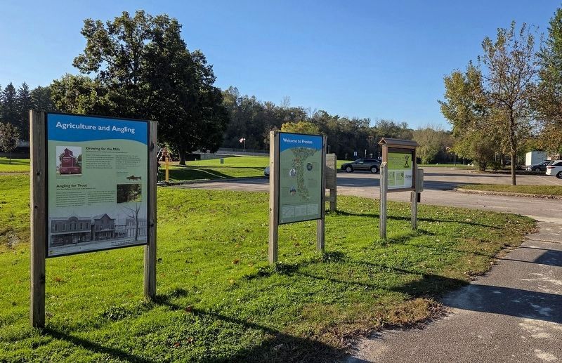
2. Agriculture and Angling Marker (left) at Preston's Root River Trailhead

Regionally, this marker is in Southeast Minnesota and in Greater Rochester. It is also in the American Midwest, in the Corn Belt, and in the Driftless Area — Bluff Country. Globally, it is in North America, the Western Hemisphere, the Western World, and the Anglosphere. Historically, it finds itself in what was once Rupert’s Land, the territory of the Mississippian Culture, and the Louisiana Purchase.
Other nearby markers. At least 8 other markers are within walking distance of this marker: Welcome to Preston (here, next to this marker); Preston All-Wars Memorial (within shouting distance of this marker); Welcome to Preston: Area Attractions (within shouting distance of this marker); The Heritage of Downtown Preston (about 300 feet away, measured in a direct line); The Milwaukee Road in Preston / A Day on the Railroad (about 300 feet away); Preston Public Library (approx. ¼ mile away); Jesse Potter Nehring (approx. ¼ mile away); Preston Overlook (approx. 0.3 miles away). Touch for a list and map of all markers in Preston.
Credits. This page was last revised on February 10, 2026. It was originally submitted on December 2, 2025, by McGhiever of Minneapolis, Minnesota. This page has been viewed 68 times since then and 40 times this year. Photos: 1, 2. submitted on December 2, 2025, by McGhiever of Minneapolis, Minnesota.
