Linwood in Cherokee County, Texas — The American South (West South Central)
Selman-Roark Cemetery
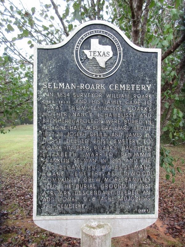
Photographed by Jeff Leichsenring, December 1, 2025
1. Selman-Roark Cemetery Marker
Erected 1979 by Texas Historical Commission. (Marker Number 6915.)
Topics. This historical marker is listed in this topic list: Cemeteries & Burial Sites. A significant historical year for this entry is 1834.
Location. 31° 39.839′ N, 94° 59.606′ W. Marker is in Linwood, Texas, in Cherokee County. It is on State Highway 21 east of Farm to Market Road 241, on the left when traveling west. Touch for map. Marker is at or near this postal address: 12327 TX-21, Alto TX 75925, United States of America. Touch for directions.

Regionally, this marker is in the American South, specifically in the
this page online
Other nearby markers. At least 8 other markers are within 3 miles of this marker, measured as the crow flies: Candace Midkiff Bean (about 300 feet away, measured in a direct line); Old Palestine Baptist Church (approx. 1.1 miles away); Ellis P. Bean (approx. 1.1 miles away); Old Palestine Cemetery (approx. 1.1 miles away); Helena Kimble Dill Nelson (approx. 1.9 miles away); Site of Linwood (approx. 2 miles away); Angelina River (approx. 2 miles away); Kings Highway Camino Real — Old San Antonio Road (approx. 2.7 miles away). Touch for a list and map of all markers in Linwood.
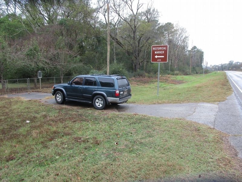
Photographed by Jeff Leichsenring, December 1, 2025
2. Selman-Roark Cemetery Marker
Credits. This page was last revised on December 4, 2025. It was originally submitted on December 3, 2025, by Jeff Leichsenring of Garland, Texas. This page has been viewed 65 times since then and 29 times this year. Photos: 1, 2. submitted on December 3, 2025, by Jeff Leichsenring of Garland, Texas. • James Hulse was the editor who published this page.
