Near Alto in Cherokee County, Texas — The American South (West South Central)
In the Present County of Cherokee
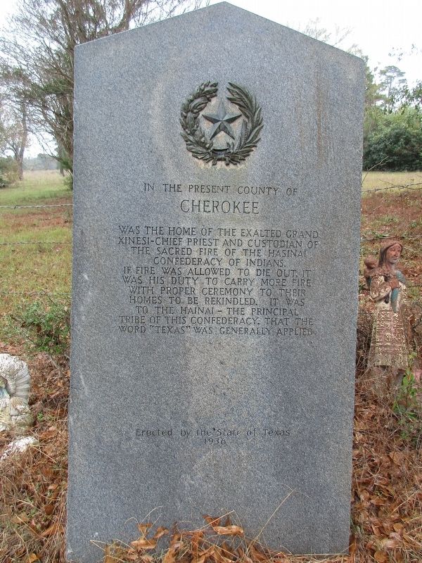
Photographed by Jeff Leichsenring, December 1, 2025
1. In the Present County of Cherokee Marker
Erected 1936 by The State of Texas. (Marker Number 6628.)
Topics and series. This historical marker is listed in these topic lists: Government & Politics • Indigenous Peoples and Communities • Political Subdivisions • Religion & Religious Structures. In addition, it is included in the Texas 1936 Centennial Markers and Monuments series list.
Location. 31° 38.077′ N, 95° 2.74′ W. Marker is near Alto, Texas, in Cherokee County. It is on County Road 2603 0.8 miles east of County Road 2601, on the right when traveling north. Touch for map. Marker is in this post office area: Alto TX 75925, United States of America. Touch for directions.

Regionally, this marker is in the American South, specifically in
this page online
Other nearby markers. At least 8 other markers are within 3 miles of this marker, measured as the crow flies: Kings Highway Camino Real — Old San Antonio Road (approx. 1½ miles away); A. Frank Smith United Methodist Church (approx. 1.9 miles away); Terrell Lodge No. 83 A.F. & A.M. (approx. 1.9 miles away); a different marker also named Kings Highway Camino Real — Old San Antonio Road (approx. 2 miles away); Helena Kimble Dill Nelson (approx. 2 miles away); Robert F. Mitchell (approx. 2.2 miles away); Stella Salmon Hill (approx. 2.2 miles away); Old Palestine Baptist Church (approx. 2.6 miles away). Touch for a list and map of all markers in Alto.
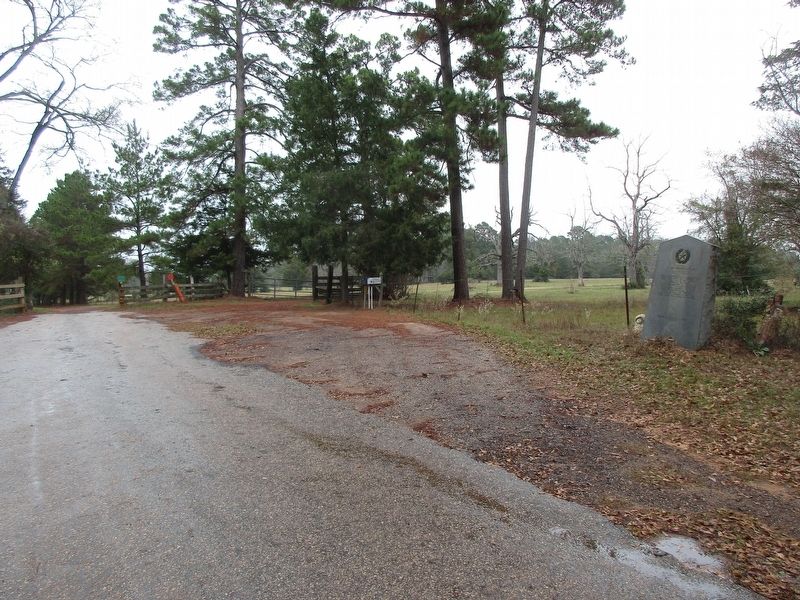
Photographed by Jeff Leichsenring, December 1, 2025
2. In the Present County of Cherokee Marker
Credits. This page was last revised on December 4, 2025. It was originally submitted on December 3, 2025, by Jeff Leichsenring of Garland, Texas. This page has been viewed 66 times since then and 41 times this year. Last updated on December 3, 2025, by Jeff Leichsenring of Garland, Texas. Photos: 1, 2. submitted on December 3, 2025, by Jeff Leichsenring of Garland, Texas. • Devry Becker Jones was the editor who published this page.
