Near Westminster in Carroll County, Maryland — The American Northeast (Mid-Atlantic)
Farm Content
Home & Burial Site of David Shriver, Sr.
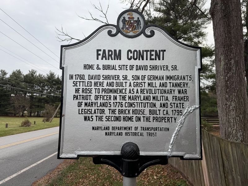
Erected 2025 by Maryland Department of Transportation; Maryland Historical Trust.
Topics and series. This historical marker is listed in these topic lists: Industry & Commerce • Patriots & Patriotism • Settlements & Settlers • War, US Revolutionary. In addition, it is included in the Maryland Historical Trust series list. A significant historical year for this entry is 1760.
Location. 39° 33.668′ N, 77° 2.421′ W. Marker is near Westminster, Maryland, in Carroll County. It is on Old New Windsor Road west of Long Valley Road, on the left when traveling west. Touch for map. Marker is at or near this postal address: 1221 Old New Windsor Road, Westminster MD 21158, United States of America. Touch for directions.

Regionally, this marker is in the Baltimore Metro Region and in Central Maryland.
this page online
Other nearby markers. At least 8 other markers are within 3 miles of this marker, measured as the crow flies: Strawbridge Shrine (approx. 1.9 miles away); The Poulson Farmstead (approx. 2 miles away); Poulson / Stone Chapel (approx. 2 miles away); Mulberry (approx. 2.3 miles away); Clod-Crushers / Harrows / Plows (approx. 2.4 miles away); Farm Equipment (approx. 2.4 miles away); Planting / Fertilizing (approx. 2.4 miles away); In Colonial America… (approx. 2.4 miles away). Touch for a list and map of all markers in Westminster.
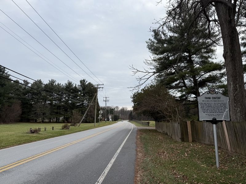

Photographed by Devry Becker Jones (CC0), December 6, 2025
3. The brick house
This photo was taken from the fence along the roadway.
Credits. This page was last revised on December 7, 2025. It was originally submitted on December 7, 2025, by Devry Becker Jones of Washington, District of Columbia. This page has been viewed 58 times since then and 29 times this year. Photos: 1, 2, 3. submitted on December 7, 2025, by Devry Becker Jones of Washington, District of Columbia.
