Bush Prairie in Olympia in Thurston County, Washington — The American West (Northwest)
Oregon Trail
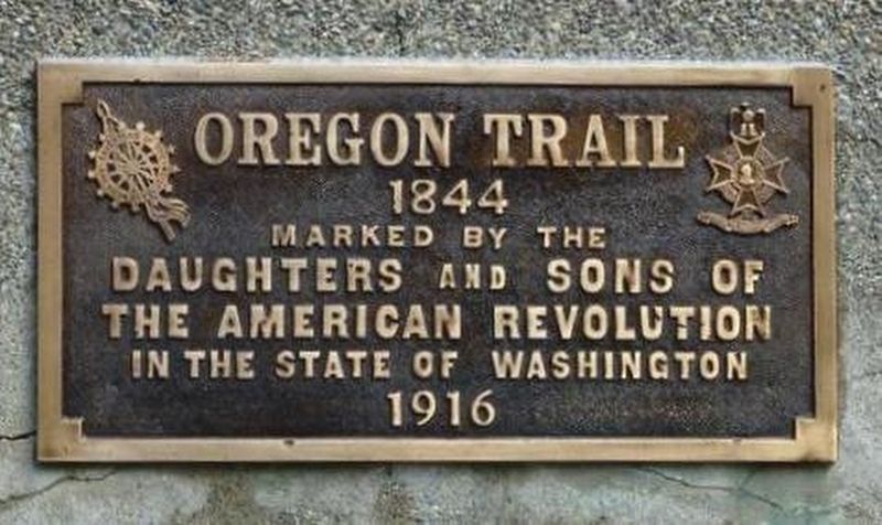
Photographed by Shirley A Stirling, September 7, 2016
1. Oregon Trail 1844 Marker
1844
Erected 1916 by Daughters of the American Revolution NSDAR and Sons of the American Revolution NSAR.
Topics and series. This historical marker is listed in this topic list: Roads & Vehicles. In addition, it is included in the Daughters of the American Revolution (DAR), the Oregon Trail, and the Sons of the American Revolution (SAR) series lists. A significant historical year for this entry is 1844.
Location. 46° 57.758′ N, 122° 52.905′ W. Marker is in Olympia, Washington, in Thurston County. It is in Bush Prairie. It is on Old Highway 99 SE south of 88th Ave SE, on the right when traveling north. The marker is outside the grounds of CH20 International, 8820 Old Highway 99 SE, East of the Olympia Municipal Airport, on the east side of the road near 88th Ave SE and Highway 99, Tumwater, Thurston County, WA. Touch for map. Marker is at or near this postal address: 8820 Old Highway 99 SE, Olympia WA 98501, United States of America. Touch for directions.

Regionally, this marker is in the Puget Sound Region and in Greater Seattle. It is also on the American Pacific Coast, in the Pacific Northwest,
this page online
Other nearby markers. At least 8 other markers are within 5 miles of this marker, measured as the crow flies: Tumwater Brewery Kettle (approx. 2.1 miles away); Chambers Prairie School / Old East Olympia School (approx. 2.2 miles away); Andrew Jackson Chamber's Homestead Site (approx. 3.2 miles away); Andrew Chambers Donation Claim Site (approx. 3.3 miles away); Tumwater (approx. 3.6 miles away); Soldiers' Monument (approx. 3.7 miles away); a different marker also named Oregon Trail (approx. 3.8 miles away); A house from the early 20th century (approx. 4.1 miles away). Touch for a list and map of all markers in Olympia.
More about this marker. The bronze plaque is mounted on an upright concrete slab. Since 1916, the marker has been moved at least once or twice due to highway work.
Regarding Oregon Trail. George Washington Bush, a man of color, came on the Oregon Trail in 1845 to an area just south of Tumwater with
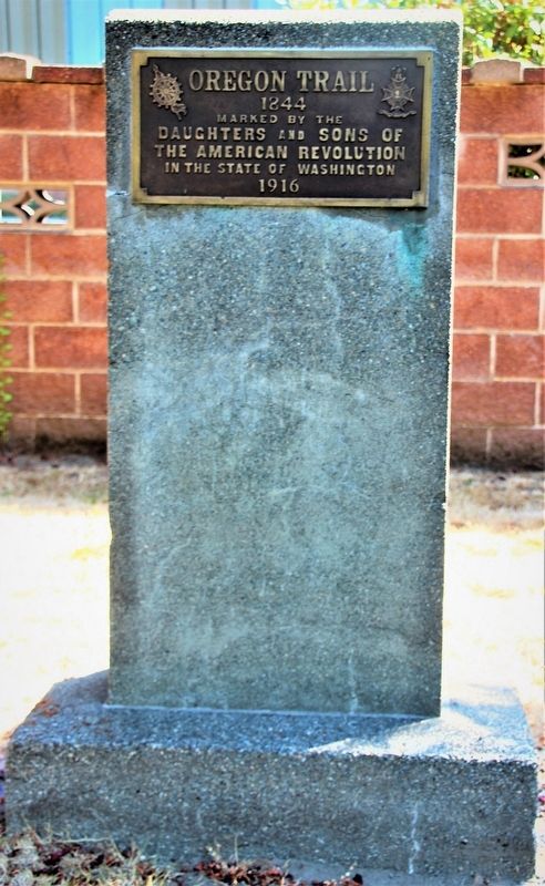
Photographed by Shirley A Stirling, August 7, 2018
2. OT 1844 Marker- full monument outside the fence of CH20 International after 2016 restoration.
DAR and SAR refurbished the marker for its hundredth birthday. Diane Smith coordinated with Ch20 International, the marker custodian. Ch20 provided water and electricity for the work party and their Vice President, Joyce Prindle, observed the process and supported the team.
Additional keywords. Oregon Trail
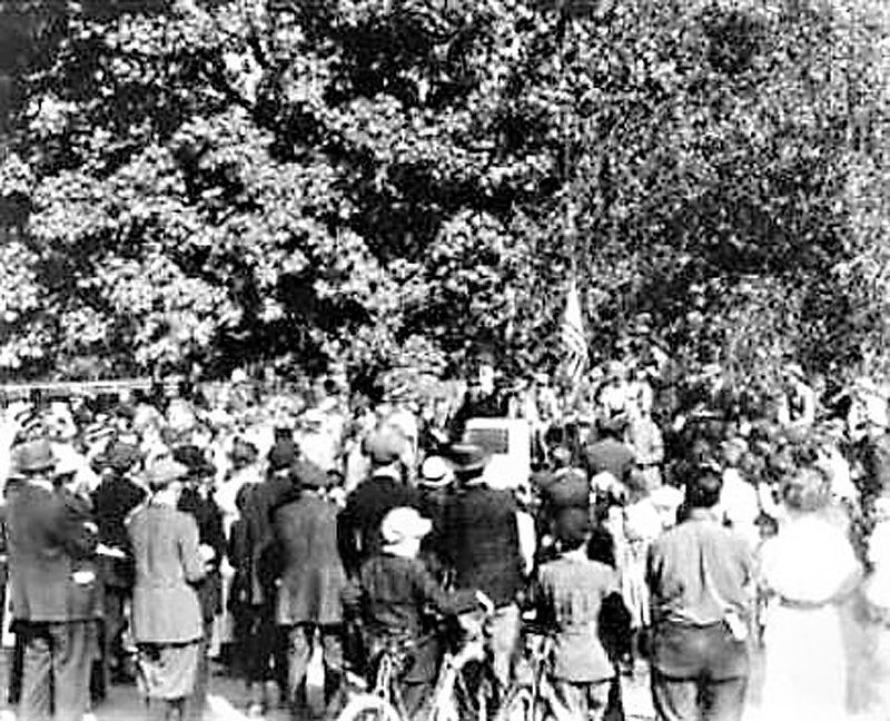
Courtesy of DAR Archives, December 29, 2016
3. Oregon Trail 1844 Marker at Bush Prairie, dedication ceremony in 1916.
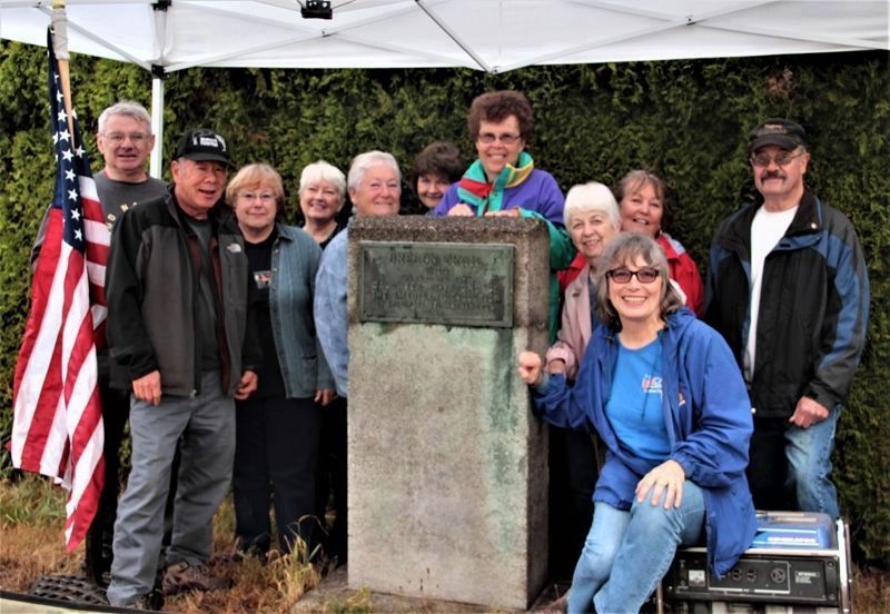
Photographed by Shirley A Stirling, September 2, 2016
4. OT Marker-Bush Prairie cleaning day prior to cleaning & dedication-Sacajawea Chptr & friends 2016.
Credits. This page was last revised on December 8, 2025. It was originally submitted on July 6, 2024, by Shirley A Stirling of Lacey, Washington. This page has been viewed 367 times since then and 64 times this year. Last updated on December 8, 2025, by Shirley A Stirling of Lacey, Washington. Photos: 1, 2, 3, 4. submitted on July 6, 2024, by Shirley A Stirling of Lacey, Washington. • Devry Becker Jones was the editor who published this page.
