Marble Canyon in Coconino County, Arizona — The American Mountains (Southwest)
Paria Canyon - Vermillion Cliffs Wilderness
Photographed by Jeremy Snow, December 7, 2025
1. Paria Canyon - Vermillion Cliffs Wilderness Marker
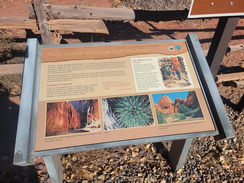
Adventurous backpackers usually begin their three to six-day journey through Paria Canyon at Wire Pass, White Home, or Buckskin Trailheads, eating here, near Lees Ferry. Wire Pass also serves as the principal gateway for day hikes into spectacular Coyote Buttes. Hiking permits are required for these BLM areas.
Keeping It Unspoiled
There are no designated trails, campsites, signs, or facilities inside the wilderness boundary. Terrain is rugged and hiking conditions can change with the weather. Hikers should be in good physical condition and know how to navigate in a primitive backcountry setting.
In wilderness I sense the miracle of life, and behind it our scientific accomplishments fade to trivia.
- Chales A. Lindbergh
Topics.
this page online
Location. 36° 52.026′ N, 111° 35.719′ W. Marker is in Marble Canyon, Arizona, in Coconino County. It is on Lonely Dell. Marker located at the edge of the Lonley Dell Ranch parking lot. Touch for map. Marker is at or near this postal address: Lonely Dell, Marble Canyon AZ 86036, United States of America. Touch for directions.

Regionally, this marker is in Flagstaff & High Country, in the Navajo Nation, and in Hopi. It is also in the American Southwest, in the Mountain West, on the Colorado Plateau, and at the Four Corners. Globally, it is in North America, the Western Hemisphere, the Western World, and the Anglosphere. Historically, it finds itself in what was once New Spain and also Mexico’s Alta California.
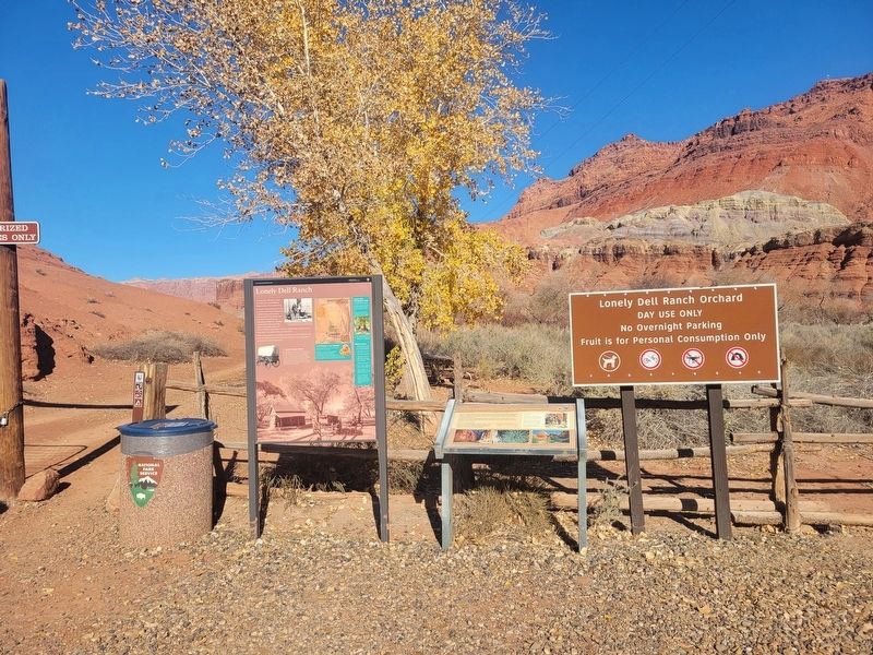
Other nearby markers. At least 8 other markers are within walking distance of this marker: Lonely Dell Ranch (here, next to this marker); 1965 The Orchard (about 300 feet away, measured in a direct line); 1872 Founding Family (about 500 feet away); 1872 Irrigation (about 500 feet away);
Photographed by Jeremy Snow, December 7, 2025
2. Paria Canyon - Vermillion Cliffs Wilderness Marker
Credits. This page was last revised on December 18, 2025. It was originally submitted on December 9, 2025, by Jeremy Snow of Cedar City, Utah. This page has been viewed 110 times since then and 79 times this year. Photos: 1, 2. submitted on December 9, 2025, by Jeremy Snow of Cedar City, Utah. • Andrew Ruppenstein was the editor who published this page.
