Near Italy in Ellis County, Texas — The American South (West South Central)
Cotton Industry in Ellis County
Photographed by James Hulse, December 9, 2025
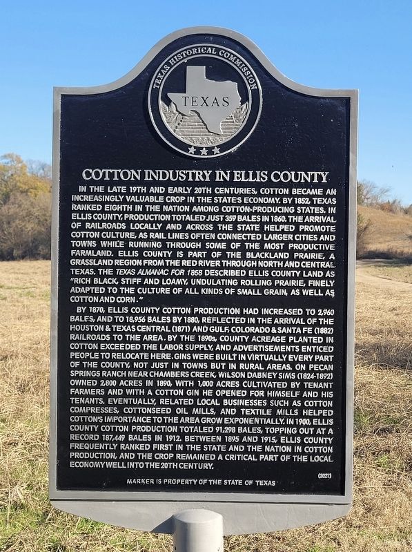
1. Cotton Industry in Ellis County Marker
By 1870, Ellis County cotton production had increased to 2,960 bales, and to 18,956 bales by 1880, reflected in the arrival of the Houston & Texas Central (1871) and Gulf Colorado & Santa Fe (1882) Railroads to the area. By the 1890s, county acreage planted in cotton exceeded the labor supply, and advertisements enticed people to relocate here. Gins were built in virtually
this page online
Erected 2021 by Texas Historical Commission. (Marker Number 23296.)
Topics. This historical marker is listed in these topic lists: Agriculture • Industry & Commerce. A significant historical year for this entry is 1852.
Location. 32° 14.446′ N, 96° 55.223′ W. Marker is near Italy, Texas, in Ellis County. It is on L R Campbell Road 0.1 miles south of Bell Branch Road, on the right when traveling north.
Photographed by James Hulse, December 9, 2025
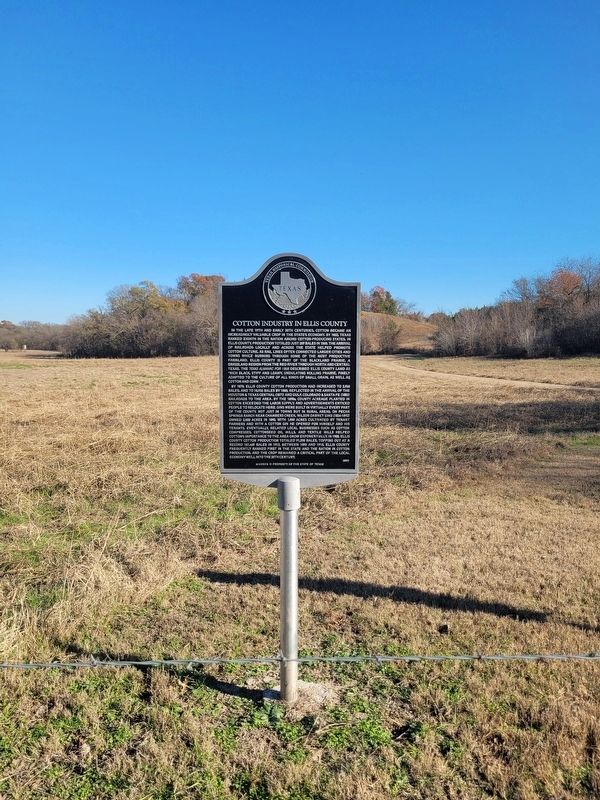
2. Cotton Industry in Ellis County Marker

Regionally, this marker is in the Prairies & Lakes Region and in the Dallas-Fort Worth Metropolitan Area. Globally, it is in North America, a Gulf of Mexico state, the Western Hemisphere, the Western World, and the Anglosphere. Historically, it finds itself in what was once New Spain, the Republic of Texas, and one of the Confederate States of America.
Other nearby markers. At least 8 other markers are within 5 miles of this marker, measured as the crow flies: The Sims Family of Ellis County (here, next to this marker); Shawnee Cattle Trail (a few steps from this marker); Chambers' Creek (approx. 3 miles away); Bethel Cemetery (approx. 3.8 miles away); Bethel Methodist Church (approx. 3.8 miles away); John Marr Hardeman (approx. 4.2 miles away); Greathouse Community, Church, and Cemetery (approx. 4.3 miles away); General Edward H. Tarrant (approx. 4½ miles away).
Photographed by James Hulse, December 9, 2025
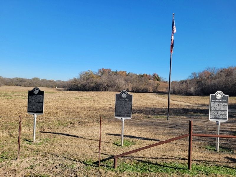
3. Cotton Industry in Ellis County Marker (left side marker)
Photographed by James Hulse, December 9, 2025
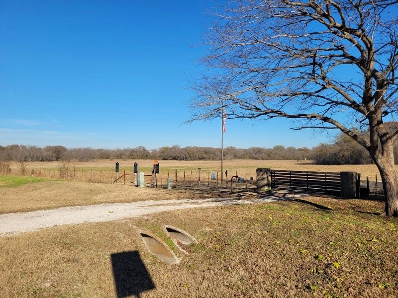
4. The view of the markers at the entrance to the Pecan Springs Ranch
Credits. This page was last revised on December 10, 2025. It was originally submitted on December 9, 2025, by James Hulse of Medina, Texas. This page has been viewed 115 times since then and 78 times this year. Photos: 1, 2, 3, 4. submitted on December 10, 2025, by James Hulse of Medina, Texas.
