
Rotorua in Rotorua District, Bay of Plenty Region, New Zealand — Southwestern Pacific Ocean
Government Gardens
| — | Destination Rotorua | — |
Photographed by Shirley A Stirling, December 10, 2025
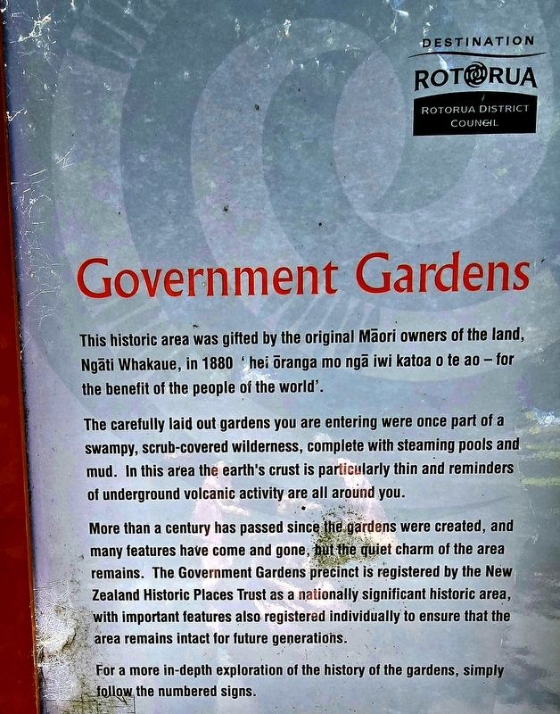
1. Government Gardens Marker
This historic area was gifted by the original Māori owners of the land, Ngāti Whakaue, in 1880 ‘hei ōranga mo ngā iwi katoa o te ao - for the benefit of the people of the world’.
The carefully laid out gardens you are entering were once part of a swampy, scrub-covered wilderness, complete with steaming pools and mud. In this area the earth's crust is particularly thin and reminders of underground volcanic activity are all around you.
More than a century has passed since the gardens were created, and many features have come and gone, but the quiet charm of the area remains. The Government Gardens precinct is registered by the New Zealand Historic Places Trust as a nationally significant historic area, with important features also registered individually to ensure that the area remains intact for future generations.
For a more in-depth exploration of the history of the gardens, simply follow the numbered signs.
Erected by Rotorua District Council.
Topics. This historical marker is listed in this topic list: Parks & Recreational Areas. A significant historical year for this entry is 1880.
Location. 38° 8.104′ S,
this page online

Regionally, it is in Oceania, in Australasia, in Polynesia, in the Pacific Ocean, on the Ring of Fire, on the Pacific Rim, in the Western World, and in the Anglosphere. Historically, it finds itself in what was once a British colony.
Other nearby markers. At least 8 other markers are within 3 kilometers of this marker, measured as the crow flies: Nga Whakairo Tupuna (Ancestral Carvings) at the Hinemoa and Arawa Street entrances to the gardens (a few steps from this marker); Prince’s Gate Arches (a few steps from this marker); Boer War 1899-1902 (about 90 meters away, measured in a direct line); Wylie Memorial (about 90 meters away); This stone laid by Te Naera Te Houkotuku (about 150 meters away); The Croquet Pavilion and sports in the gardens (about 150 meters away); Priest & Radium Hot Springs (approx. 0.4 kilometers away);
Photographed by Shirley A Stirling, December 10, 2025
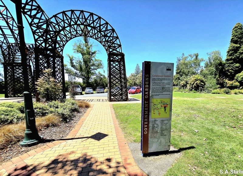
2. Government Gardens Marker
Credits. This page was last revised on December 10, 2025. It was originally submitted on December 9, 2025, by Shirley A Stirling of Lacey, Washington. This page has been viewed 69 times since then and 40 times this year. Photos: 1, 2. submitted on December 9, 2025, by Shirley A Stirling of Lacey, Washington. • Andrew Ruppenstein was the editor who published this page.
