Princeton in Caldwell County, Kentucky — The American South (East South Central)
Cedar Hill Cemetery
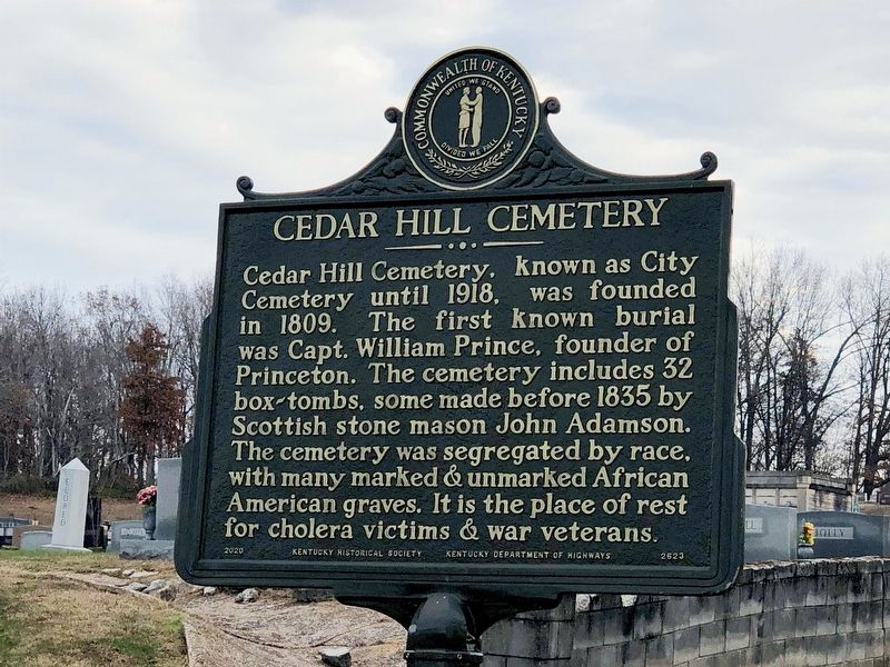
Photographed by Duane and Tracy Marsteller
1. Cedar Hill Cemetery Marker
Erected 2020 by Kentucky Historical Society • Kentucky Department of Highways. (Marker Number 2623.)
Topics. This historical marker is listed in this topic list: Cemeteries & Burial Sites. A significant historical year for this entry is 1918.
Location. 37° 6.643′ N, 87° 52.483′ W. Marker is in Princeton, Kentucky, in Caldwell County. It is at the intersection of East Green Street and Stone Street, on the left when traveling east on East Green Street. Touch for map. Marker is at or near this postal address: 415 E Green St, Princeton KY 42445, United States of America. Touch for directions.

Regionally, this marker is in the American Midwest, in the South, and specifically in the Upper South. Globally, it is in North
this page online
Other nearby markers. At least 8 other markers are within walking distance of this marker: William Prince, 1752-1810 / Founder of Princeton (approx. 0.3 miles away); a different marker also named William Prince (approx. 0.4 miles away); Shandy Hall (Princeton) (approx. 0.4 miles away); County Named, 1809 (approx. 0.4 miles away); Courthouse Burned (approx. 0.4 miles away); a different marker also named Shandy Hall (Princeton) (approx. 0.4 miles away); Black Patch War (approx. 0.4 miles away); Trail of Tears (approx. 0.4 miles away). Touch for a list and map of all markers in Princeton.
Another marker is no longer nearby. Converging of Indian Trails (was approx. 0.4 miles away but has been confirmed missing).
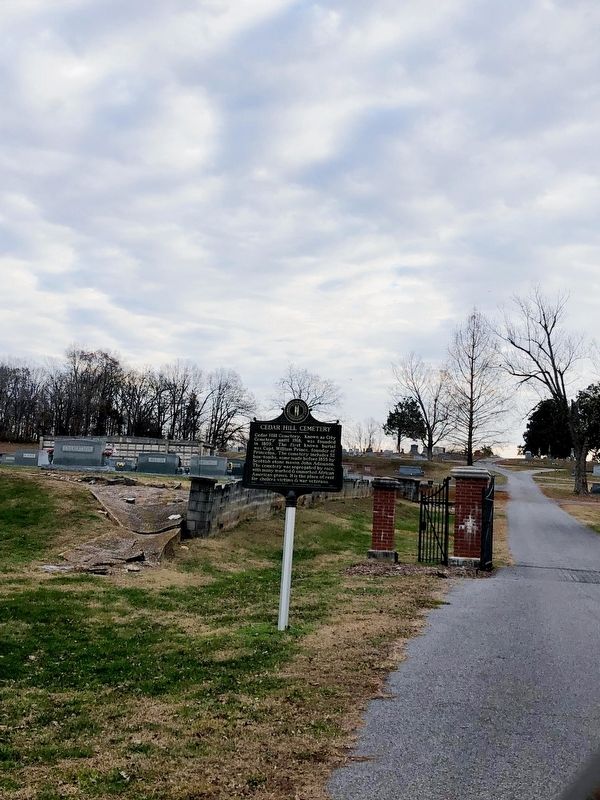
Photographed by Duane and Tracy Marsteller
2. Cedar Hill Cemetery Marker
Credits. This page was last revised on December 23, 2025. It was originally submitted on December 11, 2025, by Duane and Tracy Marsteller of Murfreesboro, Tennessee. This page has been viewed 120 times since then and 89 times this year. Photos: 1, 2. submitted on December 11, 2025, by Duane and Tracy Marsteller of Murfreesboro, Tennessee. • James Hulse was the editor who published this page.
