Orange in Orange County, Virginia — The American South (Mid-Atlantic)
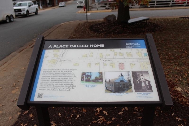
A Place Called Home
Photographed by Evan Dwyer, November 15, 2025
1. A Place Called Home Marker
Erected 2022 by Orange County African American Historical Society.
Topics. This historical marker is listed in these topic lists: African Americans • Religion & Religious Structures • Roads & Vehicles.
Location. 38° 14.636′ N, 78° 6.612′ W. Marker is in Orange, Virginia, in Orange County. It is at the intersection of West Church Street and Chapman Street, on the right when traveling west on West Church Street. Marker is within African American Commemorative Park. Touch for map. Marker is at
this page online

Regionally, this marker is in Northern Virginia and in the Piedmont. It is also in the American South and specifically in the Upper South. Globally, it is in North America, the Western Hemisphere, the Western World, and the Anglosphere. Historically, it finds itself in what was once the territory of the Mississippian Culture, one of the original Thirteen Colonies, one of the Confederate States of America, and the Antebellum South.
Other nearby markers. At least 8 other markers are within walking distance of this marker: The Mill Street Community (here, next to this marker); Railroad Avenue and Beyond (a few steps from this marker); Crosthwaite Alley (about 300 feet away, measured in a direct line); Battle of Orange Court House (about 300 feet away); Historic Downtown Orange (about 400 feet away); Welcome to… The Town of Orange (about 400 feet away); The Orange Railroad Depot (about 400 feet away); Orange County Visitor Center (about 500 feet away). Touch for a list and map of all markers in Orange.
Another
Photographed by Evan Dwyer, November 15, 2025
2. A Place Called Home Marker
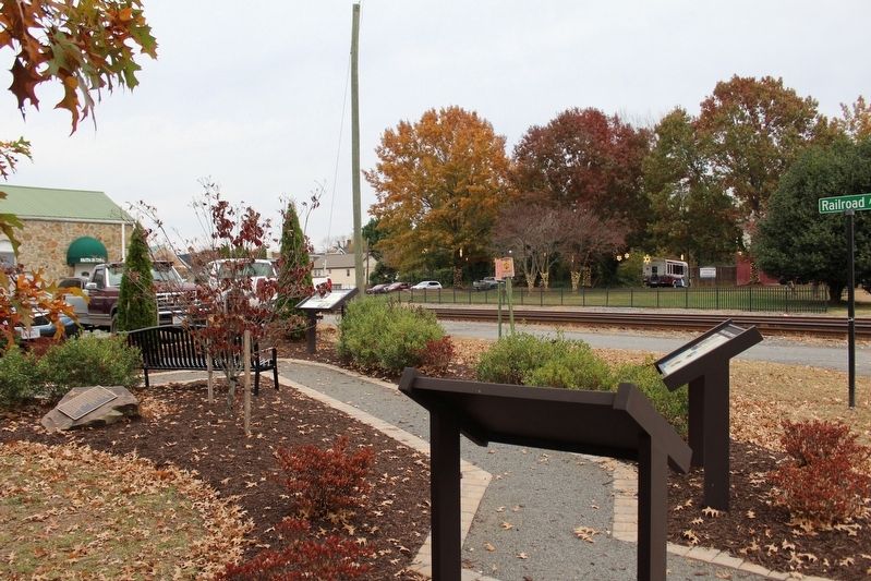
Marker is the one closest to the camera. View looks towards the railroad, east on West Church Street. The marker faces the opposite direction.
Credits. This page was last revised on December 16, 2025. It was originally submitted on December 12, 2025, by Evan Dwyer of Richmond, Virginia. This page has been viewed 63 times since then and 36 times this year. Photos: 1, 2. submitted on December 12, 2025, by Evan Dwyer of Richmond, Virginia. • Devry Becker Jones was the editor who published this page.
