Pine Level in DeSoto County, Florida — The American South (South Atlantic)
Pine Level Camp Grounds Cemetery
(one quarter mile south)
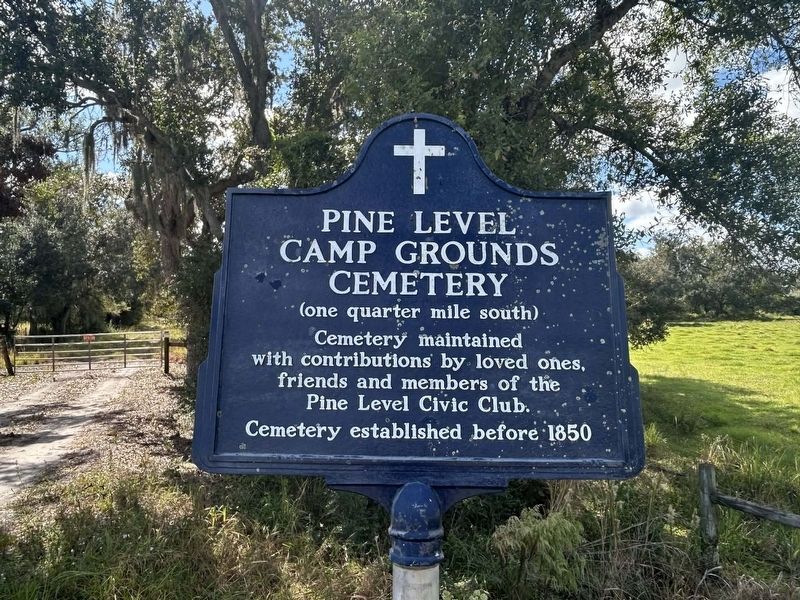
Photographed by Michael Cece
1. Pine Level Campgrounds Cemetery Marker
Topics. This historical marker is listed in this topic list: Cemeteries & Burial Sites. A significant historical year for this entry is 1850.
Location. 27° 16.118′ N, 82° 0.012′ W. Marker is in Pine Level, Florida, in DeSoto County. It is on State Road 70 0.6 miles west of NW Florida Avenue, on the left when traveling west. Touch for map. Marker is at or near this postal address: 10538 FL-70, Arcadia FL 34266, United States of America. Touch for directions.

Regionally, this marker is in the American South. Globally, it is in the North Atlantic Region, North America, a Gulf of Mexico state, the Western Hemisphere, the Western World, and the Anglosphere. Historically, it finds itself in what was once New Spain, the territory of the Mississippian Culture, one of the Confederate States of America, and the Antebellum South.
Other nearby markers. At least 8 other markers are within 10 miles of this marker, measured as the crow flies: Pine Level United Methodist Church (approx. 2.2
this page online
Credits. This page was last revised on December 19, 2025. It was originally submitted on December 13, 2025, by Michael Cece of Sarasota, Florida. This page has been viewed 57 times since then and 31 times this year. Photo 1. submitted on December 13, 2025, by Michael Cece of Sarasota, Florida. • Bernard Fisher was the editor who published this page.
