Burlington in Chittenden County, Vermont — The American Northeast (New England)
Electric Power Generation in Burlington
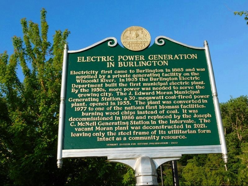
Photographed by Jimmy Emerson, May 2022
1. Electric Power Generation in Burlington Marker
Electricity first came to Burlington in 1885 and was supplied by a private generating facility on the Winooski River. In 1905 the Burlington Electric Department built the first municipal electric plant. By the 1950s. more power was needed to serve the growing city. The J. Edward Moran Municipal Generating Station. a 30-megawatt coal-fired power plant. opened in 1955. The plant was converted in 1977 to one of the nation's first biomass facilities. burning wood chips instead of coal. It was decommissioned in 1986 and replaced by the Joseph C. McNell Generating Station in the Intervale. The vacant Moran plant was deconstructed in 2021. leaving only the steel frame of its utilitarian form intact as a community resource.
Vermont Division for Historic Preservation 2022
Erected 2022 by Vermont Division for Historic Preservation.
Topics. This historical marker is listed in these topic lists: Industry & Commerce • Waterways & Vessels. A significant historical year for this entry is 1885.
Location. 44° 28.859′ N, 73° 13.335′ W. Marker is in Burlington, Vermont, in Chittenden County. It is at the intersection
this page online

Regionally, this marker is in the Champlain Valley. It is also in the American Northeast and in New England. Globally, it is in North America, the Western Hemisphere, the Western World, and the Anglosphere. Historically, it finds itself in what was once the Viceroyalty of New France and also the Vermont Republic.
Other nearby markers. At least 8 other markers are within walking distance of this marker: Arahmi (within shouting distance of this marker); 2nd Vermont Volunteer Infantry Regiment (about 400 feet away, measured in a direct line); Trees for the 21st Century (about 400 feet away); Camp Burlington / Le Cantonnement des Troupes à Burlington (about 400 feet away); Mayor Francis Cain (about 400 feet away); Battery Park (about 500 feet away); William Wells (about 700 feet away); Revolutionary War Patriots (about 700 feet away). Touch for a list and map of all markers in Burlington.
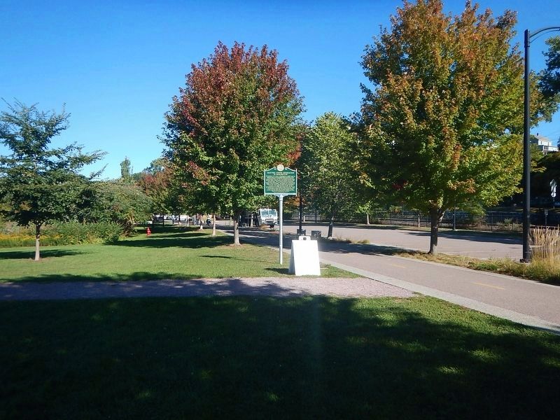
Photographed by Kevin Craft, September 23, 2026
2. Wideview of Electric Power Generation in Burlington Marker
Credits. This page was last revised on September 25, 2026. It was originally submitted on December 13, 2025, by Jimmy Emerson of Dalton, Georgia. This page has been viewed 74 times since then and 44 times this year. Photos: 1. submitted on December 13, 2025, by Jimmy Emerson of Dalton, Georgia. 2. submitted on September 25, 2026, by Kevin Craft of Bedford, Quebec. • Michael Herrick was the editor who published this page.
