Butler-Tarkington in Indianapolis in Marion County, Indiana — The American Midwest (Great Lakes)
Central Canal & Towpath
Photographed by Sean P. Flynn, March 19, 2021
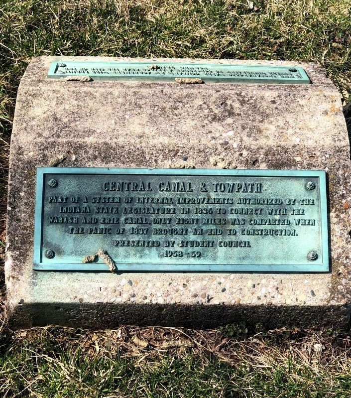
1. Central Canal & Towpath Marker (front side)
[Text on the front:]
Part of a system of internal improvements authorized by the Indiana state legislature in 1836 to connect with the Wabash and Erie Canal, Only eight miles was completed when the Panic of 1837 brought an end to construction.
[Text on the rear:]
The Indianapolis Water Company, by agreement will permit Butler University to construct a bridge near the site of the former bridge.
Erected 1959 by Butler University Student Council.
Topics. This historical marker is listed in these topic lists: Education • Waterways & Vessels. A significant historical year for this entry is 1836.
Location. 39° 50.58′ N, 86° 10.333′ W. Marker is in Indianapolis, Indiana, in Marion County. It is in Butler-Tarkington. It is on Garden Road 0.2 miles north of Lake Road. The marker is near a walking trail that runs along the canal on the campus of Butler University. Touch for map. Marker is in this post office area: Indianapolis IN 46208, United States of America. Touch for directions.

Regionally, this marker is in Central Indiana. It is also in the American Midwest and in the Corn Belt. Globally, it is in North
this page online
Other nearby markers. At least 8 other markers are within 2 miles of this marker, measured as the crow flies: Hinkle Fieldhouse (approx. 0.2 miles away); Toll House - Michigan Road (approx. 0.9 miles away); Booth Tarkington (approx. 1.1 miles away); The Central Canal (approx. 1.1 miles away); Janet Flanner (approx. 1.1 miles away); Wright-Whitesell-Gentry Cemetery (approx. 1.2 miles away); Oldfields (approx. 1.2 miles away); Greenlawn Cemetery (approx. 1.2 miles away). Touch for a list and map of all markers in Indianapolis.
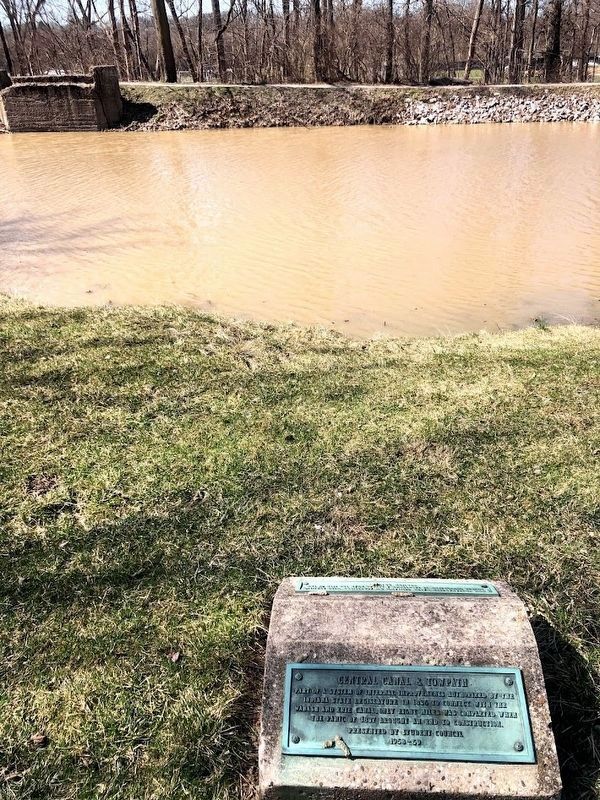
Regarding Central Canal & Towpath. The marker is close to the ruins of an old bridge, likely the one referenced on the back of the marker. There is a walking bridge over the canal that is a short walk north of this location, however, it is not known if that is the new bridge described on the sign.
Also see . . .
1. Indiana Central Canal (Wikipedia). (Submitted on December 13, 2025, by Sean P. Flynn of Oak Park, Illinois.)
2. The Panic of 1837.

Photographed by Sean P. Flynn, March 19, 2021
2. Central Canal & Towpath Marker (back side)
Photographed by Sean P. Flynn, March 19, 2021
3. Central Canal & Towpath Marker
The "former bridge" referenced on the back of the marker appears to be the one seen on the left side of this photo.
Photographed by Sean P. Flynn, March 19, 2021
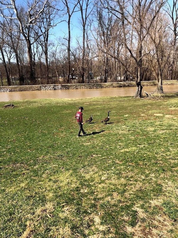
4. Central Canal
Credits. This page was last revised on December 13, 2025. It was originally submitted on December 13, 2025, by Sean P. Flynn of Oak Park, Illinois. This page has been viewed 72 times since then and 30 times this year. Photos: 1, 2, 3, 4. submitted on December 13, 2025, by Sean P. Flynn of Oak Park, Illinois.
