
Lahaina in Maui County, Hawaii — Hawaiian Island Archipelago (Pacific Ocean)
Keka'a Landing Pier
| — | Kā'anapali Historical Trail | — |
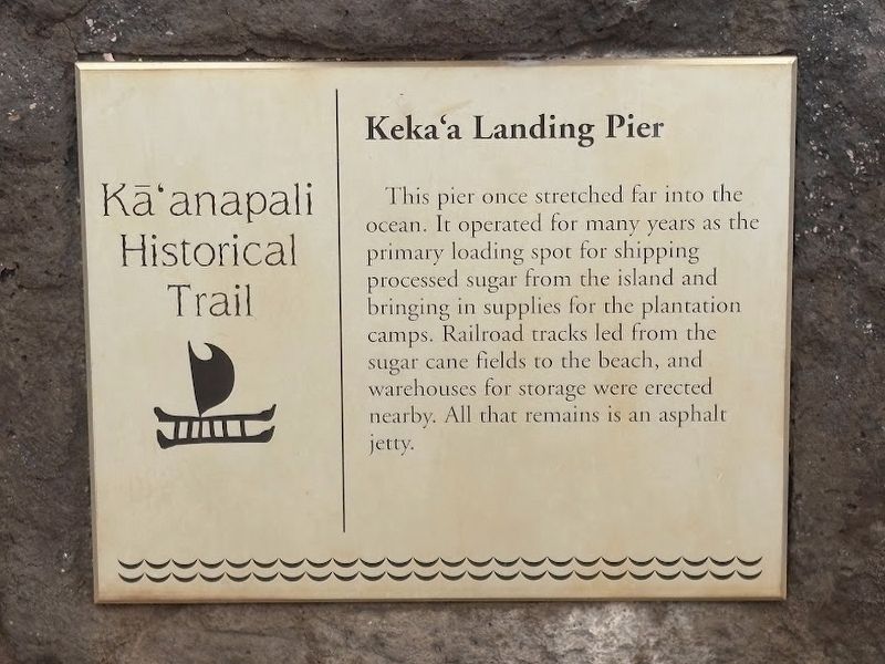
Photographed by Darren Jefferson Clay, December 11, 2025
1. Keka'a Landing Pier Marker
Topics. This historical marker is listed in this topic list: Waterways & Vessels.
Location. 20° 55.711′ N, 156° 41.689′ W. Marker is in Lahaina, Hawaii, in Maui County. It can be reached from Kaanapali Parkway, on the right when traveling north. Touch for map. Marker is at or near this postal address: 2605 Kaanapali Parkway, Lahaina HI 96761, United States of America. Touch for directions.

Regionally, this marker is in Lahaina and West Maui. Globally, it is in North America, Polynesia, the Pacific Ocean, North Pacific, the Pacific Rim, the Western Hemisphere, the Western World, and the Anglosphere.
Other nearby markers. At least 8 other markers are within 2 miles of this marker, measured as the crow flies: Pu'u Keka'a and Chief Kahekili
this page online
Also see . . . Kaanapali’s Keka’a Landing Pier (Kaanapali Beach Resort). Excerpt:
This pier operated for many years as the primary loading spot for shipping processed sugar from the island and bringing in supplies for the plantation crops. Railroad tracks led from the sugar cane fields to the beach, and warehouses for storage were erected near the pier. Logs used for lumber were also transported to the pier, but would often be loaded into the water first. Submerged in the salt water, logs were left there to cure for a few months. Many plantation era homes were reportedly termite-free due to this method of wood preservation.(Submitted on December 15, 2025.)
Over theyears, the pier has been heavily damaged by the sea and storms, but it once stretched quite a distance into the ocean at the end of which a tugboat would be waiting to tow the heavy bags of sugar on a barge to the huge Matson ships waiting at sea.Photographed by Darren Jefferson Clay, December 11, 20252. Keka'a Landing Pier Marker
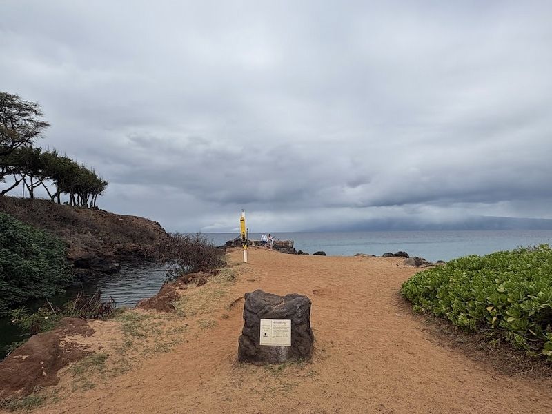
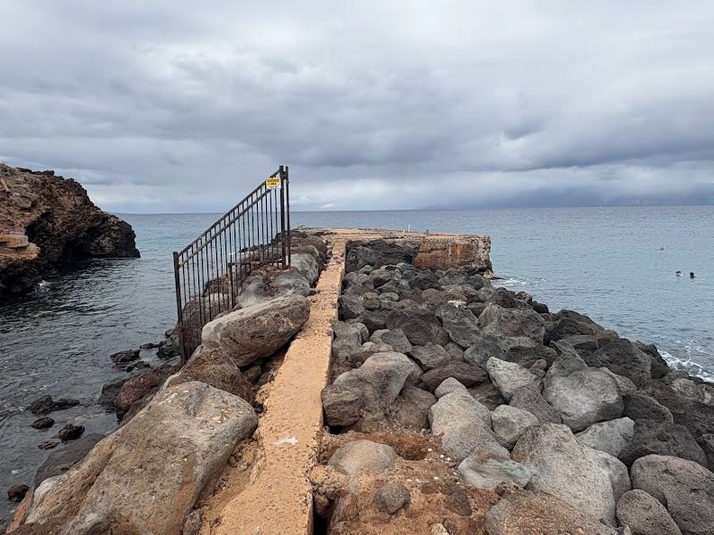
Photographed by Darren Jefferson Clay, December 11, 2025
3. Remnants of the concrete jetty
Credits. This page was last revised on December 15, 2025. It was originally submitted on December 14, 2025, by Darren Jefferson Clay of Duluth, Georgia. This page has been viewed 140 times since then and 115 times this year. Photos: 1, 2, 3. submitted on December 14, 2025, by Darren Jefferson Clay of Duluth, Georgia. • Andrew Ruppenstein was the editor who published this page.
