Central City in Muhlenberg County, Kentucky — The American South (East South Central)
Mount Zion Presbyterian Church
Photographed by Duane and Tracy Marsteller, December 1, 2025
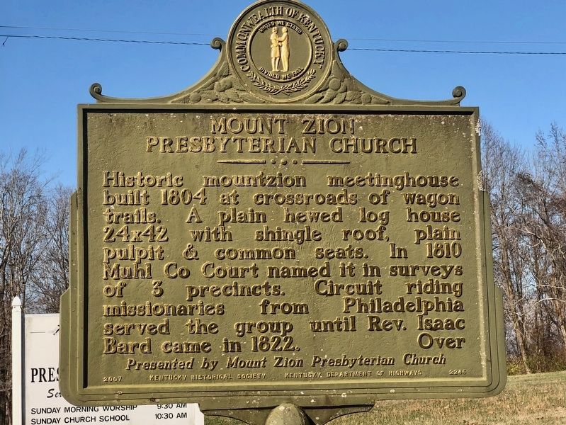
1. Mount Zion Presbyterian Church Marker, Side One
Historic mountzion meetinghouse, built 1804 at crossroads of wagon trails. A plain hewed log house 24142 with shingle roof, plain pulpit & common seats. In 1810 Muhl. Co. Court named it in surveys of 3 precincts. Circuit riding missionaries from Philadelphia served the group until Rev. Isaac Bard came in 1822.
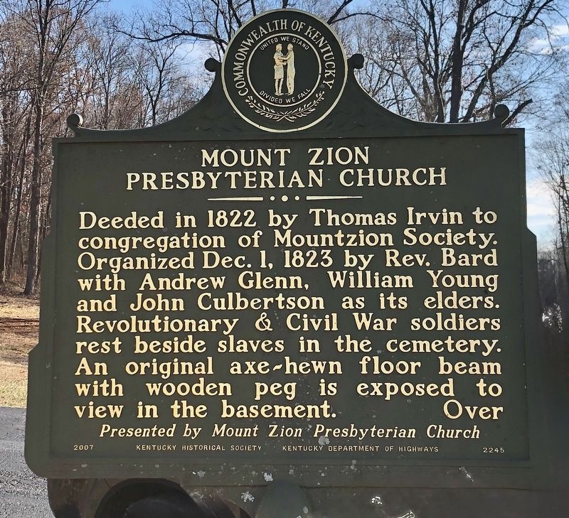
Deeded in 1822 by Thomas Irvin to congregation of Mountzion Society. Organized Dec. 1, 1823 by Rev. Bard with Andrew Glenn, William Young and John Culbertson as its elders. Revolutionary & Civil War soldiers rest beside slaves in the cemetery. An original axe-hewn floor beam with wooden peg is exposed to view in the basement.
Erected 2007 by Kentucky Historical Society • Kentucky Department of Highways • Mount Zion Presbyterian Church.
Topics and series. This historical marker is listed in these topic lists: Cemeteries & Burial Sites • Religion & Religious Structures. In addition, it is included in the Kentucky Historical Society series list. A significant historical date for this entry is December 1, 1823.
Location. 37° 17.413′ N, 87° 5.677′ W. Marker is in Central City, Kentucky, in Muhlenberg County. It is on
this page online

Regionally, this marker is in the Tri-State Region and specifically in the Pennyroyal Region. It is also in the American Midwest, in the South, and specifically in the Upper South. Globally, it is in North America, the Western Hemisphere, the Western World, and the Anglosphere. Historically, it finds itself in what was once the territory of the Mississippian Culture and also the Antebellum South.
Other nearby markers. At least 8 other markers are within 8 miles of this marker, measured as the crow flies: John Prine (approx. 1.7 miles away); The Everly Brothers (approx. 1.7 miles away); Airdrie Furnace Site / Iron Made in Kentucky (approx. 5.6 miles away); Jonathan E. Spilman (approx. 7.1 miles away); Capt. Henry Rhoads, Jr. (approx. 7.2 miles away); Muhlenberg Hero (approx. 7.2 miles away); George Short House / George W. Short (1805-1863) (approx. 7.6 miles away);
Photographed by Duane and Tracy Marsteller, December 1, 2025
2. Mount Zion Presbyterian Church Marker, Side Two
Another marker is no longer nearby. John W.I. Godman (was approx. 4½ miles away but has been confirmed missing).

Photographed by Duane and Tracy Marsteller, December 1, 2025
3. Mount Zion Presbyterian Church
Credits. This page was last revised on January 1, 2026. It was originally submitted on December 15, 2025, by Duane and Tracy Marsteller of Murfreesboro, Tennessee. This page has been viewed 76 times since then and 43 times this year. Photos: 1, 2, 3. submitted on December 15, 2025, by Duane and Tracy Marsteller of Murfreesboro, Tennessee. • Devry Becker Jones was the editor who published this page.
