Milam in Sabine County, Texas — The American South (West South Central)
Meador Cemetery
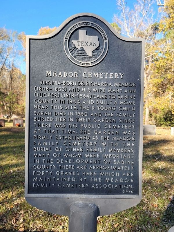
Photographed by James Hulse, December 19, 2025
1. Meador Cemetery Marker
Erected 1983 by Texas Historical Commission. (Marker Number 11043.)
Topics. This historical marker is listed in this topic list: Cemeteries & Burial Sites. A significant historical year for this entry is 1844.
Location. 31° 26.226′ N, 93° 50.724′ W. Marker is in Milam, Texas, in Sabine County. It is on Meador Cemetery Lane 0.4 miles south of U.S. 87. The marker is located at he entrance to the cemetery. Touch for map. Marker is in this post office area: Milam TX 75959, United States of America. Touch for directions.

Regionally, this marker is in the American South, specifically
this page online
Other nearby markers. At least 8 other markers are within walking distance of this marker: Bethany Baptist Church (approx. 0.2 miles away); Milam Cemetery (approx. ¼ mile away); Francis Marcus Weatherred (approx. ¼ mile away); John C. Hale (approx. 0.3 miles away); Milam Masonic Institute (approx. 0.3 miles away); Milam (approx. 0.3 miles away); The Old San Antonio Road (approx. 0.3 miles away); Kings Highway (approx. 0.3 miles away). Touch for a list and map of all markers in Milam.
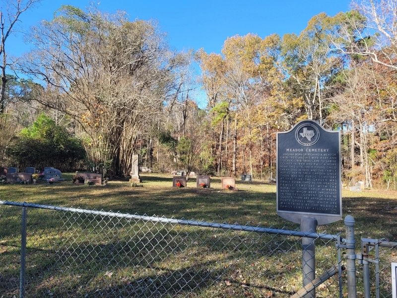
Photographed by James Hulse, December 19, 2025
2. Meador Cemetery and Marker
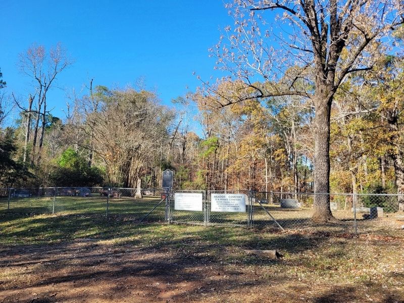
Photographed by James Hulse, December 19, 2025
3. Meador Cemetery Marker
The view of the entrance to the Meador Cemetery.
Credits. This page was last revised on December 20, 2025. It was originally submitted on December 19, 2025, by James Hulse of Medina, Texas. This page has been viewed 94 times since then and 72 times this year. Photos: 1, 2, 3. submitted on December 20, 2025, by James Hulse of Medina, Texas.
