
Appomattox in Appomattox County, Virginia — The American South (Mid-Atlantic)
Appomattox Campaign
Bringing Lee to Bay
| — | Lee's Retreat | — |
Photographed by Mike McKeown, April 25, 2025
1. Appomattox Campaign Marker
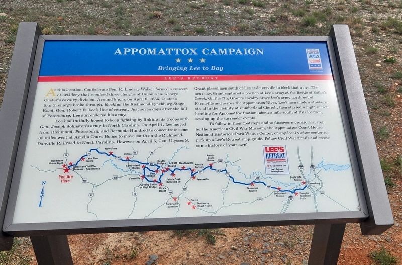
At this location, Confederate Gen. R. Lindsay Walker formed a crescent of artillery that repulsed three charges of Union Gen. George Custer's cavalry division. Around 8 p.m. on April 8, 1865, Custer's fourth charge broke through, blocking the Richmond-Lynchburg Stage Road, Gen. Robert E. Lee's line of retreat. Just seven days after the fall of Petersburg, Lee surrendered his army.
Lee had initially hoped to keep fighting by linking his troops with Gen. Joseph Johnston's army in North Carolina. On April 4, Lee moved from Richmond, Petersburg, and Bermuda Hundred to concentrate some 35 miles west at Amelia Court House to move south on the Richmond-Danville Railroad to North Carolina. However on April 5, Gen. Ulysses S. New Store Grant placed men south of Lee at Jetersville to block that move. The next day, Grant captured a portion of Lee's army at the Battle of Sailor's Creek. On the 7th, Grant's cavalry drove Lee's army north out of Farmville and across the Appomattox River. Lee's men made a stubborn stand in the vicinity of Cumberland Church, then started a night march heading for Appomattox Station, about a mile south
this page online
To follow in their footsteps and to discover more stories, stop by the American Civil War Museum, the Appomattox Court House National Historical Park Visitor Center, or any local visitor center to pick up a Lee's Retreat map-guide. Follow Civil War Trails and create some history of your own!
Erected 2025 by Virginia Civil War Trails.
Topics and series. This historical marker is listed in this topic list: War, US Civil. In addition, it is included in the Virginia Civil War Trails series list. A significant historical date for this entry is April 8, 1865.
Location. 37° 21.933′ N, 78° 49.627′ W. Marker is in Appomattox, Virginia, in Appomattox County. It is at the intersection of Jamerson Lane and Jones Street, on the left when traveling east on Jamerson Lane. Touch for map. Marker is at or near this postal address: 249 Jamerson Ln, Appomattox VA 24522, United States of America. Touch for directions.

Regionally, this marker is in the Piedmont and in Central Virginia. It is also in the American South and specifically in the Upper South. Globally, it is in North America, the Western
Photographed by Mike McKeown, April 25, 2025
2. Appomattox Campaign Marker
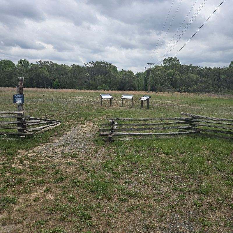
new markers This marker is 1st on left
Other nearby markers. At least 8 other markers are within walking distance of this marker: Battle of Appomattox Station (here, next to this marker); a different marker also named Battle of Appomattox Station (here, next to this marker); Walker's Last Stand (within shouting distance of this marker); Confederate Artillery Position (within shouting distance of this marker); Carver-Price School (approx. 0.4 miles away); Winonah Camp / Mozella Price Home (approx. 0.4 miles away); Heritage Garden (approx. 0.4 miles away); Fighting to the End (approx. 0.4 miles away). Touch for a list and map of all markers in Appomattox.
Other markers no longer nearby. Custer's Third Brigade (was within shouting distance of this marker but has been permanently removed); a different marker also named Winonah Camp / Mozella Price Home (was approx. 0.4 miles away but has been replaced with another marker now near it); a different marker also named Carver-Price School (was approx. 0.4 miles away but has been replaced with another marker now near it).
Also see . . .
1. Appomattox Station Battlefield. American Battlefield Trust (Submitted on May 7, 2025.)
2. Appomattox Campaign Driving Tour Map. Emerging Civil War (Submitted on May 7, 2025.)
Credits. This page was last revised on December 21, 2025. It was originally submitted on May 5, 2025, by Mike McKeown of Baltimore, Maryland. This page has been viewed 332 times since then and 81 times this year. Last updated on December 20, 2025, by Evan Dwyer of Richmond, Virginia. Photos: 1, 2. submitted on May 5, 2025, by Mike McKeown of Baltimore, Maryland. • Devry Becker Jones was the editor who published this page.
