
Arrowtown in Queenstown-Lakes District, Otago Region, New Zealand — Southwestern Pacific Ocean
The Dairy

Photographed by Shirley A Stirling, December 21, 2025
1. The Dairy Marker
When asked to join the Paterson family on their voyage to a life in New Zealand, Bessie's sister Louise (wary of the sailing conditions) demanded she be allowed space for cured meats, preserves, two cows and a goat. The cows would provide the family with a fresh supply of milk and Albus the goat was essential to make cheese at Ayrburn. A common feature of many early farms, the dairy was essential for the storage of milk and preparation of butter. The thick walls and tiny windows keep the room cool, dry and hygienic.
Topics. This historical marker is listed in these topic lists: Agriculture • Settlements & Settlers.
Location. 44° 57.417′ S, 168° 48.731′ E. Marker is in Arrowtown, Otago Region, in Queenstown-Lakes District. It is on Ayr Avenue. Touch for map. Marker is at or near this postal address: 1 Ayr Avenue, Arrowtown, Otago Region 9371, New Zealand. Touch for directions.

Regionally, it is in Oceania, in Australasia, in Polynesia, in the Pacific Ocean, on the Ring of Fire, in the Pacific Rim, in the Western World, and in the Anglosphere. Historically,
this page online
Other nearby markers. At least 8 other markers are within 16 kilometers of this marker, measured as the crow flies: The Manure Room (within shouting distance of this marker); The Hayloft (within shouting distance of this marker); Invited but Unwelcome (approx. 2.5 kilometers away); Welcome to the Arrowtown Chinese Settlement (approx. 2.5 kilometers away); The Mary Cotter Tree (approx. 2.6 kilometers away); Bank of New Zealand (approx. 2.6 kilometers away); Crown Range Summit (approx. 10.7 kilometers away); New Zealand Moa (Dinomithiformes) (approx. 14.8 kilometers away). Touch for a list and map of all markers in Arrowtown.
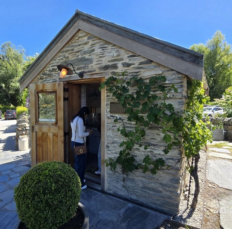
Photographed by Shirley A Stirling, December 21, 2025
2. The Dairy Marker

Photographed by Shirley A Stirling, December 21, 2025
3. Reverse side of building.
Credits. This page was last revised on December 24, 2025. It was originally submitted on December 22, 2025, by Shirley A Stirling of Lacey, Washington. This page has been viewed 116 times since then and 88 times this year. Photos: 1, 2, 3. submitted on December 22, 2025, by Shirley A Stirling of Lacey, Washington. • Andrew Ruppenstein was the editor who published this page.
