Near Mechanicsville in Hanover County, Virginia — The American South (Mid-Atlantic)
Cavalry Action at Cold Harbor

Photographed by Bernard Fisher, March 28, 2009
1. Cavalry action at Cold Harbor Marker
Erected 2008 by Department of Historic Resources. (Marker Number O-68.)
Topics and series. This historical marker is listed in this topic list: War, US Civil. In addition, it is included in the Virginia Department of Historic Resources (DHR) series list. A significant historical date for this entry is May 31, 1864.
Location. 37° 35.934′ N, 77° 15.679′ W. Marker is near Mechanicsville, Virginia, in Hanover County. It is at the intersection of Crown Hill Road and Tall Cedar Lane, on the right when traveling west on Crown Hill Road. Touch for map. Marker is
this page online

Regionally, this marker is in the Piedmont, in Central Virginia, and in the Richmond Metropolitan Area. It is also in the American South, specifically in the Upper South, and on the Eastern Seaboard. Globally, it is in the North Atlantic Region, North America, the Western Hemisphere, the Western World, and the Anglosphere. Historically, it finds itself in what was once the territory of the Mississippian Culture, one of the original Thirteen Colonies, one of the Confederate States of America, and the Antebellum South.
Other nearby markers. At least 8 other markers are within walking distance of this marker: Cold Harbor Crossroads (approx. ¾ mile away); a different marker also named Cold Harbor Crossroads (approx. 0.8 miles away); a different marker also named Cold Harbor Crossroads (approx. 0.8 miles away); Seven Days' Campaign (approx. 0.8 miles away); Seven Days Battles (approx. 0.8 miles away); Historic Beulah Church (approx. 0.9 miles away); The Armies Gather at Cold Harbor (approx. one mile away); Cold Harbor: The Early Actions

Photographed by Bernard Fisher, March 28, 2009
2. "Madison Estates" new homes...
Regarding Cavalry Action at Cold Harbor. The Mantlo Farm House was demolished in 2011 to make way for a modern home.

Photographed by Bernard Fisher, March 28, 2009
3. Farm house on "Earthworks Drive"

Photographed by Bernard Fisher, March 28, 2009
4. Farm house

Photographed by Bernard Fisher, March 28, 2009
5. Barn and fields
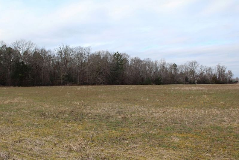
2025
6. Field of Advance
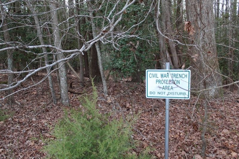
2025
7. Earthworks Protected
The Madison Estates Property Owners' Association protects the earthworks in the woods.
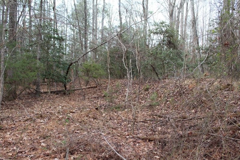
2025
8. Earthworks
The Madison Estates Property Owners' Association protects the earthworks in the woods.
Credits. This page was last revised on April 13, 2026. It was originally submitted on April 2, 2009, by Bernard Fisher of Richmond, Virginia. This page has been viewed 1,472 times since then and 45 times this year. Last updated on December 22, 2025, by Evan Dwyer of Richmond, Virginia. Photos: 1, 2, 3, 4, 5. submitted on April 2, 2009, by Bernard Fisher of Richmond, Virginia. 6, 7, 8. submitted on April 12, 2026. • Devry Becker Jones was the editor who published this page.
