
Dunstable in Middlesex County, Massachusetts — The American Northeast (New England)
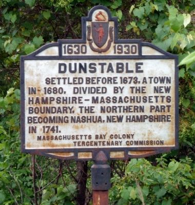
Dunstable
1630 – 1930
Photographed by Roger W. Sinnott, June 14, 2011
1. Dunstable Marker
Erected 1930 by the Massachusetts Bay Colony Tercentenary Commission.
Topics and series. This historical marker is listed in these topic lists: Colonial Era • Settlements & Settlers. In addition, it is included in the Massachusetts Bay Colony—Tercentenary Commission Markers series list. A significant historical year for this entry is 1673.
Location. 42° 41.039′ N, 71° 26.972′ W. Marker is in Dunstable, Massachusetts, in Middlesex County. It is on Kendall Road (Massachusetts Route 113) west of Business Park Drive, on the right when traveling west. The marker is located at the town line just as you leave Tyngsborough and enter Dunstable. Touch for map. Marker is at or near this postal address: 189 Kendall Rd, Dunstable MA 01827, United States of America. Touch for directions.

Regionally, this marker is in Greater Boston and in the Merrimack Valley. It is also in the American Northeast, in New England, and on the Eastern Seaboard. Globally, it is in the North
this page online
Other nearby markers. At least 8 other markers are within 6 miles of this marker, measured as the crow flies: Mansion House (approx. 2.7 miles away); Wannalancet (approx. 3.4 miles away); a different marker also named Dunstable (approx. 4.3 miles away); Chelmsford (approx. 4.7 miles away); Spanish-American War Memorial (approx. 5.2 miles away in New Hampshire); World War Memorial (approx. 5.2 miles away in New Hampshire); President John Fitzgerald Kennedy (approx. 5.2 miles away in New Hampshire); 1939 City Hall (approx. 5.2 miles away in New Hampshire).
Related marker. Click here for another marker that is related to this marker. To better understand the relationship, study each marker in the order shown.
Also see . . . Wikipedia entry. An overview of the town today, plus some of its history. (Submitted on June 14, 2011, by Roger W. Sinnott of Norwell, Massachusetts.)
Additional commentary.
1. Massachusetts Bay Colony
Photographed by Stephen St. Denis, February 8, 2020
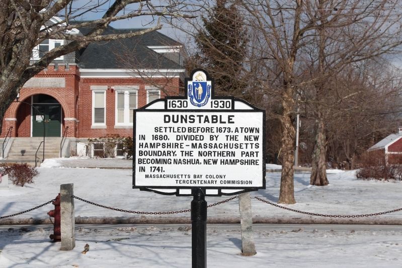
2. Dunstable Marker newly restored and relocated to the Dunstable Town Commons
Dunstable Town Hall is in the background.
I believe this marker has been moved several miles to the west from this location at the Dunstable / Tyngsborough town line to the Dunstable Town Commons. Presently there is no marker at location of this entry. I have photographed the marker which is on the Dunstable Town Commons across Main Street (Mass Route 113) from the Dunstable Town Hall also known as the "Sarah R. S. Roby Memorial”. The marker appears to be recently restored. The new geo location is - Dunstable Marker Location: 42°40'27.6"N 71°28'54.0"W Note To Editor only visible by Contributor and editor
— Submitted February 12, 2020, by Stephen St. Denis of Worcester, Massachusetts.
Photographed by Roger W. Sinnott, June 14, 2011
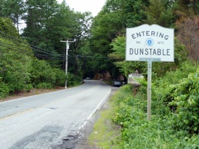
3. View Entering Dunstable from Tyngsborough
Credits. This page was last revised on December 23, 2025. It was originally submitted on June 14, 2011, by Roger W. Sinnott of Norwell, Massachusetts. This page has been viewed 1,456 times since then and 62 times this year. Last updated on December 23, 2025, by G.W.Bartlett of Hingham, Massachusetts. Photos: 1. submitted on June 14, 2011, by Roger W. Sinnott of Norwell, Massachusetts. 2. submitted on February 12, 2020, by Stephen St. Denis of Worcester, Massachusetts. 3. submitted on June 14, 2011, by Roger W. Sinnott of Norwell, Massachusetts. • Devry Becker Jones was the editor who published this page.
