Near Natchez in Natchitoches Parish, Louisiana — The American South (West South Central)
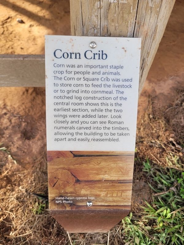
Corn Crib
Photographed by James Hulse, December 18, 2025
1. Corn Crib Marker
Captions
(Photo #1) Hand-hewn cypress logs. NPS Photo
Topics. This historical marker is listed in this topic list: Agriculture. A significant historical date for this entry is July 22, 1865.
Location. 31° 39.884′ N, 93° 0.215′ W. Marker is near Natchez, Louisiana, in Natchitoches Parish. It is at the intersection of State Highway 494 and State Highway 119 on State Highway 494. The marker is located on the grounds of the Oakland Plantation (Cane River Creole National Historic Park). Touch for map. Marker is at or near this postal address: 4386 LA-494, Natchez LA 71456, United States of America. Touch for directions.

Regionally, this marker is in Central Louisiana. It is also in the American South, specifically in the Deep
this page online
Other nearby markers. At least 8 other markers are within walking distance of this marker: Oakland Grist Mill (here, next to this marker); A French Connection (within shouting distance of this marker); Middleman to Yardman (within shouting distance of this marker); Escaped! Freedom Seekers in 1863-1864 (about 300 feet away, measured in a direct line); The Helaire Family of Oakland / The Shields Family of Oakland (about 300 feet away); Meet "Natchez" the Oakland Mule (about 300 feet away); Hollywood Comes to Oakland Plantation (about 300 feet away); Maker of Most Things Wood (about 300 feet away). Touch for a list and map of all markers in Natchez.
Photographed by James Hulse, December 18, 2025
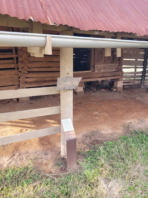
2. Corn Crib Marker
Photographed by James Hulse, December 18, 2025
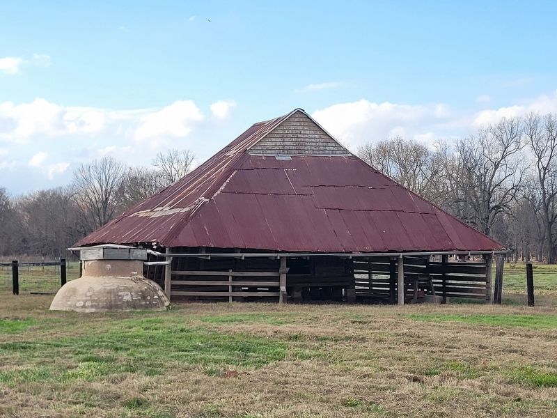
3. Corn Crib Marker
The marker is located at the middle of the front of the building.
Photographed by James Hulse, December 18, 2025
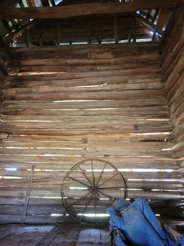
4. Corn Crib Marker
Interior view of the building
Credits. This page was last revised on December 23, 2025. It was originally submitted on December 23, 2025, by James Hulse of Medina, Texas. This page has been viewed 41 times since then and 20 times this year. Photos: 1, 2, 3, 4. submitted on December 23, 2025, by James Hulse of Medina, Texas.
