Hingham in Plymouth County, Massachusetts — The American Northeast (New England)
The Mill at Triphammer Pond
Photographed by G.W.Bartlett, December 22, 2025
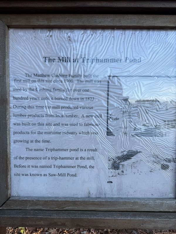
1. The Mill at Triphammer Pond Marker
The Matthew Cushing Family built the first mill on this site circa 1700. The mill was used by the Cushing Family for over 100 years until it burned down in 1823. During this time the mill produced various lumber products from local timber. A new mill was built on this site and was used to fabricate products for the maritime industry which was growing at the time.
The name Triphammer Pond is a result of the presence of a trip-hammer at the mill. Before it was named Triphammer Pond, the site was known as Saw-Mill Pond.
Erected 2021 by Troop 4, Boy Scouts of America, Hingham, Massachusetts.
Topics. This historical marker is listed in these topic lists: Colonial Era • Industry & Commerce • Settlements & Settlers. A significant historical year for this entry is 1700.
Location. 42° 13.391′ N, 70° 52.012′ W. Marker is in Hingham, Massachusetts, in Plymouth County. It can be reached from Triphammer Road, on the right when traveling east. The marker stands next to Triphammer Pond. Touch for map. Marker is at or near this postal address: 77 Popes Lane, Hingham MA 02043, United States of America. Touch for directions.

Regionally,
this page online
Other nearby markers. At least 8 other markers are within walking distance of this marker: Chief Wompatuck (approx. 0.4 miles away); US Military History (approx. 0.6 miles away); General History (approx. 0.7 miles away); Second Almshouse (approx. 0.8 miles away); Korean War (approx. 0.9 miles away); These Trees and This Stone (approx. 0.9 miles away); In Memoriam to Hingham’s War Dead (approx. 0.9 miles away); Vietnam War (approx. 0.9 miles away). Touch for a list and map of all markers in Hingham.
More about this marker. Important Note: Vehicle access to this area is via Popes lane in Hingham. Per NRSWA.org: Look for the unpaved driveway [on the right] between #75 and #128 Popes Lane. Continue driving about 1/4 mile beyond the conservation area sign [to park]. https://www.nsrwa.org/listing/triphammer-pond-conservation-area/
There
Photographed by G.W.Bartlett, December 24, 2025
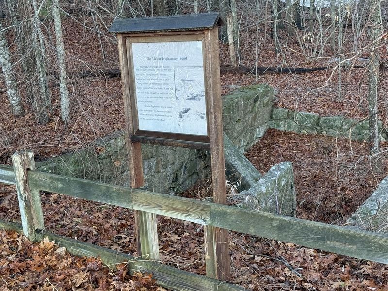
2. The Mill at Triphammer Pond Marker and Remnants
Also see . . .
1. Triphammer Pond: Schultz Field - Hingham Land Conservation Trust. (Submitted on December 22, 2025, by G.W.Bartlett of Hingham, Massachusetts.)
2. Wompatuck Park Maps - Friends of Wompatuck. Triphammer Pond Conservation Area and Triphammer Woods. (Submitted on December 22, 2025, by G.W.Bartlett of Hingham, Massachusetts.)
Photographed by G.W.Bartlett, December 22, 2025
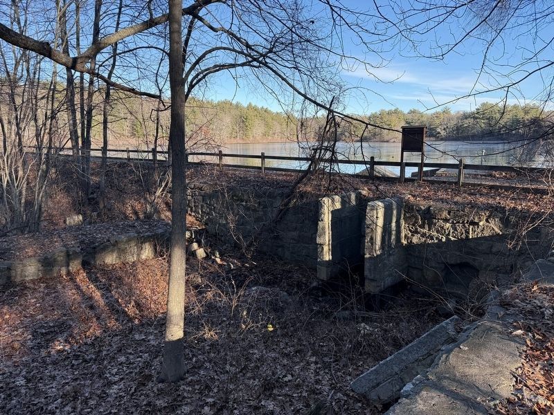
3. Remnants of the Mill at Triphammer Pond
Photographed by G.W.Bartlett, December 22, 2025
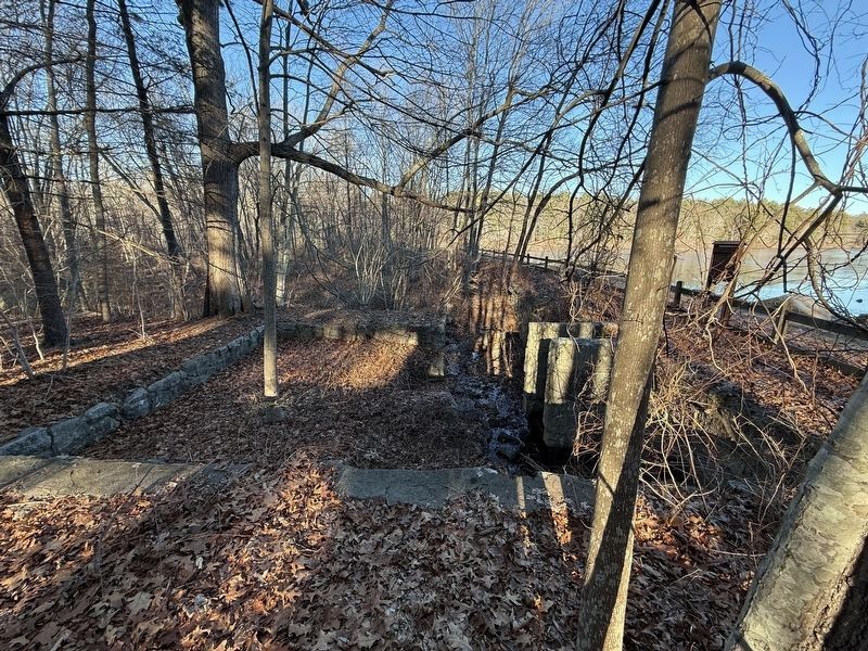
4. Remnants of the Mill at Triphammer Pond
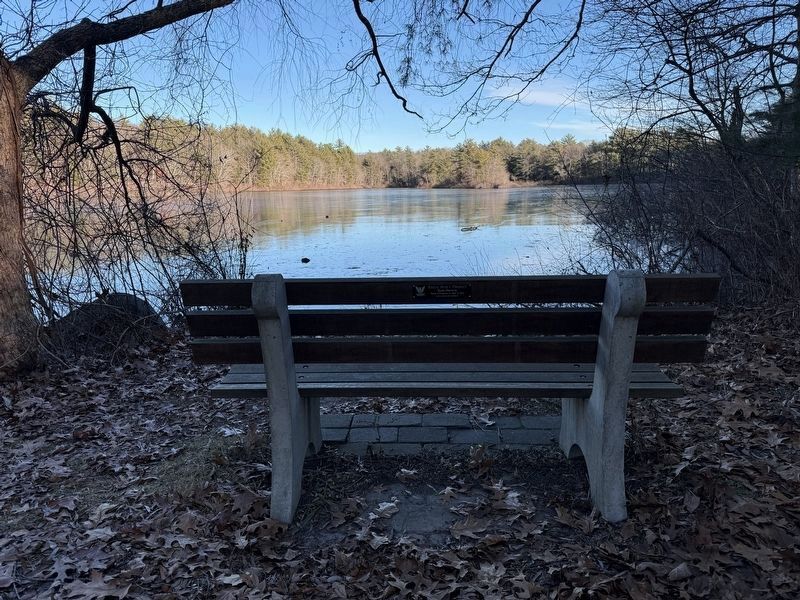
Photographed by G.W.Bartlett, December 22, 2025
5. Triphammer Pond
Bench installed at the same time as marker by Troop 4
Credits. This page was last revised on December 26, 2025. It was originally submitted on December 22, 2025, by G.W.Bartlett of Hingham, Massachusetts. This page has been viewed 102 times since then and 53 times this year. Last updated on December 26, 2025, by G.W.Bartlett of Hingham, Massachusetts. Photos: 1. submitted on December 22, 2025, by G.W.Bartlett of Hingham, Massachusetts. 2. submitted on December 24, 2025, by G.W.Bartlett of Hingham, Massachusetts. 3, 4, 5. submitted on December 22, 2025, by G.W.Bartlett of Hingham, Massachusetts. • Devry Becker Jones was the editor who published this page.
Editor’s want-list for this marker. Photo of the entire marker. • Can you help?
