Near Bozeman in Gallatin County, Montana — The American West (Mountains)
Fur Trade
To the Headwaters
Photographed by Rich Pfingsten, March 22, 2009
1. Fur Trade Marker
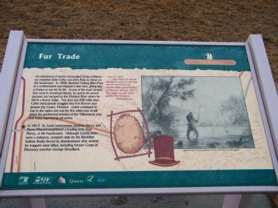
In 1810 St. Louis businessmen Andrew Henry and Pierre Menard established a trading post, Fort Henry, at the headwaters. Although Grizzly bears were a nuisance, constant raids by the Blackfeet Indians finally forced its abandonment after several fur trappers were killed, including former Corps of Discovery member George Drouillard.
Erected by Montana Department of Transportation (MDT) & Qwest.
Topics and series. This historical marker is listed in these
this page online
Location. 45° 42.732′ N, 111° 3.863′ W. Marker is near Bozeman, Montana, in Gallatin County. It is on 19th Avenue near I-90 eastbound entrance ramp (at milepost 305), 0.1 miles east of N. 19th Ave. and E. Valley Center Rd., on the left when traveling south. Located at Bozeman Rest Area along I-90 along with several other historic markers. Touch for map. Marker is in this post office area: Bozeman MT 59718, United States of America. Touch for directions.

Regionally, this marker is in Yellowstone Country. It is also in the American Mountain West and in the Lewis & Clark Corridor. Globally, it is in North America, the Rocky Mountains, the Western Hemisphere, the Western World, and the Anglosphere. Historically, it finds itself in what was once Rupert’s Land and also the Louisiana Purchase.
Other nearby markers. At least 8 other markers are within walking distance of this marker: Valley of Opportunity (a few steps from this marker); Lewis and Clark (a few steps from this marker); Fort Ellis (within shouting distance of this marker); First People in the Gallatin Valley (within shouting distance of this marker); Pioneer Museum (within shouting distance of this marker); Gallatin History Museum (within shouting distance of this marker); Trail Through Time (within shouting distance of this marker); Bozeman Veterans Memorial (within shouting distance of this marker). Touch for a list and map of all markers in Bozeman.
More about this marker. This marker is included in the Lewis & Clark Expedition marker series. It is one of six illustrated interpretive signs known as "One Trail Through Time: The Bozeman Rest Area signs" according to Montana's Historical Highway Markers book (Revised and Expanded by Axline 2008)
Regarding Fur Trade. Marker Quotation: July 14, 1806 "... the river is much divided and on all the small streams inoumerable quantities of beaver dams, tho' the river is yet navigable for canoes" - William Clark
Photo Caption: "Setting Traps for Beaver by Alfred Jacob Miller, used by permission of Joslyn Museum of Art, Omaha, Nebraska"
Credits. This page was last revised on January 10, 2025. It was originally submitted on March 23, 2010, by Rich Pfingsten of Forest Hill, Maryland. This page has been viewed 1,522 times since then and 58 times this year. Last updated on March 24, 2010, by Rich Pfingsten of Forest Hill, Maryland. Photo 1. submitted on March 23, 2010, by Rich Pfingsten of Forest Hill, Maryland. • Bill Pfingsten was the editor who published this page.
