
Near Prairie View in Waller County, Texas — The American South (West South Central)
Shiloh Cemetery
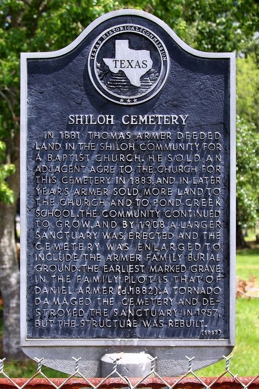
Photographed by Larry D. Moore, June 15, 2020
1. Shiloh Cemetery Marker
Erected 1983 by Texas Historical Commission. (Marker Number 8112.)
Topics. This historical marker is listed in this topic list: Cemeteries & Burial Sites. A significant historical year for this entry is 1881.
Location. 30° 6.933′ N, 95° 59.391′ W. Marker is near Prairie View, Texas, in Waller County. It is on Farm to Market Road 1098 north of Joe Loggins Road, on the right when traveling north. Touch for map. Marker is at or near this postal address: 23762 FM 1098, Prairie View TX 77446, United States of America. Touch for directions.

Regionally, this marker is in the Houston Metropolitan Area. It is also in the American South and on the Gulf Coast. Globally, it is in North America, a Gulf of Mexico state, the Western Hemisphere, the Western World, and the Anglosphere. Historically, it finds itself in what was once New Spain, the Republic of Texas, one of the Confederate States of America, and the Antebellum South.
Other nearby markers. At least 8 other markers are within 4 miles of this marker, measured as the crow flies: Shiloh Baptist Church (within shouting distance of this marker); Wyatt Chapel Community Cemetery (approx. 0.9 miles away); Jacob E. Freeman (approx. 2.3 miles away); Gen. George and Libbie Custer Campsite (approx. 2.4 miles away);
this page online
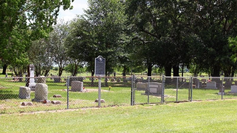
Photographed by Larry D. Moore, June 15, 2020
2. Shiloh Cemetery Marker Area
Credits. This page was last revised on December 28, 2025. It was originally submitted on June 18, 2020, by Larry D. Moore of Del Valle, Texas. This page has been viewed 712 times since then and 77 times this year. Last updated on December 27, 2025, by Joe Lotz of Flower Mound, Texas. Photos: 1, 2. submitted on June 18, 2020, by Larry D. Moore of Del Valle, Texas. • Devry Becker Jones was the editor who published this page.
