Bay de Noc Township near Rapid River in Delta County, Michigan — The American Midwest (Great Lakes)
Peninsula Point Light Station
Listed on National Register of Historic Places 1975
Photographed by Connor Olson, November 8, 2025
1. Peninsula Point Light Station Marker
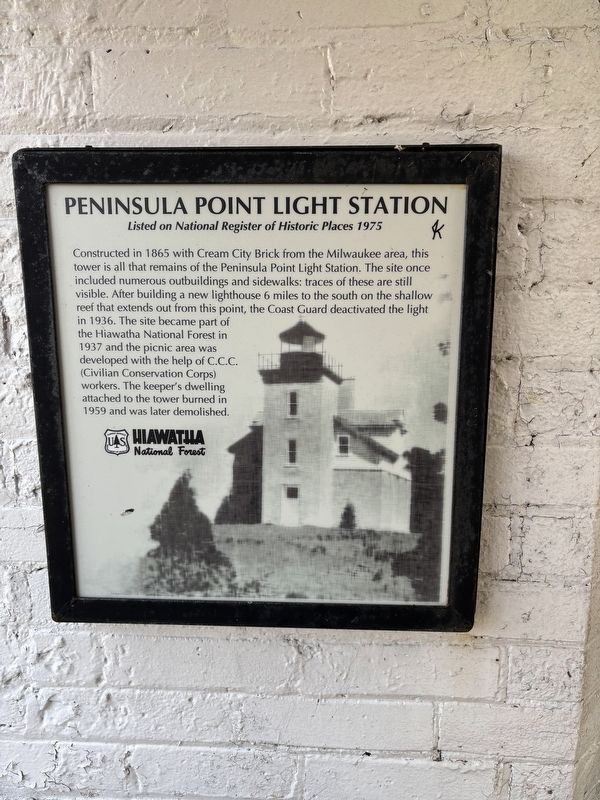
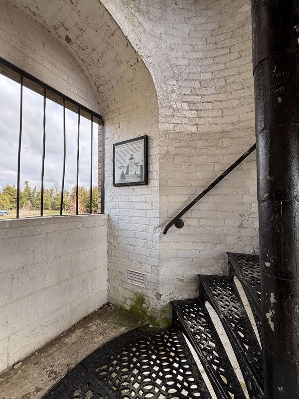
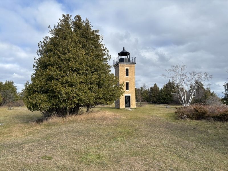
Constructed in 1865 with Cream City Brick from the Milwaukee area, this tower is all that remains of the Peninsula Point Light Station. The site once included numerous outbuildings and sidewalks: traces of these are still visible. After building a new lighthouse 6 miles to the south on the shallow reef that extends out from this point, the Coast Guard deactivated the light in 1936. The site became part of the Hiawatha National Forest in 1937 and the picnic area was developed with the help of C.C.C. (Civilian Conservation Corps) workers. The keeper's dwelling attached to the tower burned in 1959 and was later demolished.
Erected by U.S. Forest Service.
Topics and series. This historical marker is listed in these topic lists: Communications • Waterways & Vessels. In addition, it is included in the Lighthouses series list. A significant historical year for this entry is 1865.
Location. 45° 40.082′ N, 86° 58.022′ W. Marker is near Rapid River, Michigan, in Delta County. It is in Bay de Noc Township. It can be reached from County 513 T Road south of New Wilsey Bay U25 Road. Touch for map. Marker is at or near this
this page online

Regionally, this marker is on the Upper Peninsula. It is also in the American Midwest. Globally, it is in North America, in the Great North Woods, on the Great Lakes, in the Western Hemisphere, in the Western World, and in the Anglosphere. Historically, it finds itself in what was once the Northwest Territory.
Other nearby markers. At least 8 other markers are within 7 miles of this marker, measured as the crow flies: Sand Point Lighthouse / Squaw Point Boathouse (approx. 6½ miles away); Charles Brotherton / Charles Brotherton House (approx. 6.6 miles away); Fishing the Bays de Noc (approx. 6.6 miles away); The Port - Early Years (approx. 6.6 miles away); The Port - Today (approx. 6.6 miles away); Little Bay de Noc (approx. 6.6 miles away); The Peninsula Railroad (approx. 6.6 miles away); Iron Ore Centennial (approx. 6.6 miles away).
Photographed by Connor Olson, November 8, 2025
2. Peninsula Point Light Station Marker
Photographed by Connor Olson, November 8, 2025
3. Peninsula Point Light Station Marker
Credits. This page was last revised on January 24, 2026. It was originally submitted on December 27, 2025, by Connor Olson of Menomonee Falls, Wisconsin. This page has been viewed 37 times since then and 36 times this year. Photos: 1, 2, 3. submitted on December 27, 2025, by Connor Olson of Menomonee Falls, Wisconsin. • J. Makali Bruton was the editor who published this page.
