
La Cambe in Calvados, Normandy, France — Western Europe
Les marais volés
⎯⎯⎯
The stolen marshes
La Cambe
| — | Mon village se raconte / My village tells its story | — |
Photographed by James Hulse, June 4, 2025
1. Les marais volés / The stolen marshes Marker

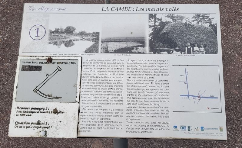
La légende raconte qu'en 1679, le Seigneur de Monfréville se querellait avec le Seigneur de La Cambe. Ce dernier retint prisonnier le Seigneur de la commune voisine. En échange de la libération de leur Seigneur, les habitants de Monfréville durent concéder à La Cambe des terrains. C'est ainsi que La Cambe s'est vue pourvue de terres supplémentaires en dehors du territoire communal. Six prés (nommés les marais volés se situant entre le premier et le second pont) ont été donnés à la commune et vingt hectares de terres ont été alloués aux habitants de La Cambe. Par cette possession terrienne, les habitants obtinrent le droit de pacage à vie, encore de rigueur aujourd'hui.
Concernant les six prés, il y a chaque année, une vente organisée par le représentant communal, du foin fauché en juin et du regain en septembre.
Les prés et les terres resteront pour toujours propriétés de la commune de La Cambe tout en étant sur le territoire de Monfréville.
Légendes
(Photo #1) Les marais, le pont sur l'Aure séparant La Cambe et Monfréville.
(Photo #2) Les marais de La Cambe
(Photo #3) Les travaux dans les champs
So
this page online
This is how the commune of La Cambe obtained additional land. Six fields (named the 'stolen marshes', between the first and the second bridge) were given to the commune and twenty hectares of land were granted to the inhabitants of La Cambe. This landownership gave the inhabitants the right to use these pastures for life, a right which is still accepted today.
Every year, the representative of the commune organises two sales of the hay reaped from these six meadows. The first sale is in June and the second crop is sold in September.
These meadows and lands will always remain the property of the commune of La Cambe, even though they lie within the boundaries of Monfréville.
Captions
(Photo #1) The marshes and the bridge over the Aure river separating La Cambe and Monfréville.
(Photo #2) The marshes of La Cambe
(Photo #3) Working in the fields
Erected by La
Photographed by James Hulse, June 4, 2025
2. Les marais volés / The stolen marshes Marker
Topics. This historical marker is listed in these topic lists: Agriculture • Settlements & Settlers. A significant historical year for this entry is 1679.
Location. 49° 20.548′ N, 1° 0.236′ W. Marker is in La Cambe, Normandie (Normandy), in Calvados. It is at the intersection of Rue Principale (Normandie Route D613) and Route D113, on the right when traveling west on Rue Principale. Touch for map. Marker is at or near this postal address: 9 Rue Principale, La Cambe, Normandie 14230, France. Touch for directions.

Regionally, it is in the North Atlantic Region, Europe, the European Union, Atlantic Europe, the Schengen Area, Western Europe, a coastal Mediterranean country, and the Western World. Historically, it finds itself in what was once a French colony and also the Roman Empire.
Other nearby markers. At least 8 other markers are within 6 kilometers of this marker, measured as the crow flies: Liberation of La Cambe (about 150 meters away, measured in a direct line); Morts pour la France de La Cambe (about 150 meters away); The German Cemetery at La Cambe: In the same soil of France (approx. 1.6 kilometers away); German War Cemetery (approx. 1.7 kilometers away); German Military Cemetery (approx. 1.7 kilometers away); Le village / The village (approx. 3.8 kilometers away); Les belles demeures / The beautiful houses (approx. 3.8 kilometers away); The Pointe-du-Hoc: the Feat of the 2nd Ranger Battalion (approx. 5.8 kilometers away). Touch for a list and map of all markers in La Cambe.
Photographed by James Hulse, June 4, 2025
3. Les marais volés / The stolen marshes Marker
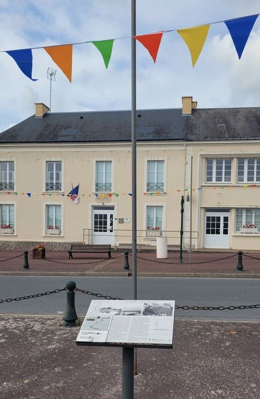
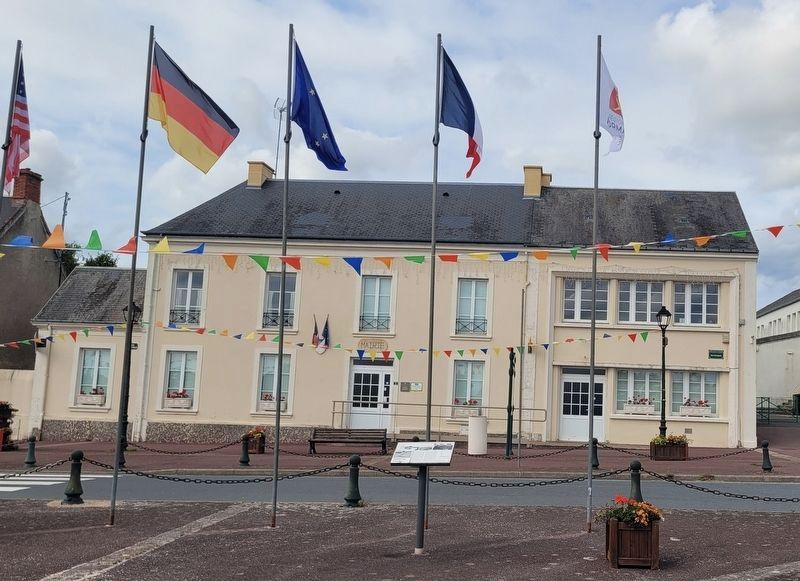
The view of the marker in front of the La Cambe city building.
Credits. This page was last revised on December 28, 2025. It was originally submitted on December 28, 2025, by James Hulse of Medina, Texas. This page has been viewed 40 times since then and 13 times this year. Photos: 1, 2, 3. submitted on December 28, 2025, by James Hulse of Medina, Texas.
