Page in Coconino County, Arizona — The American Mountains (Southwest)
Lee's Backbone
Photographed by Jeremy Snow, December 7, 2025
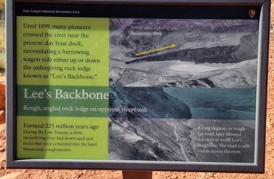
1. Lee's Backbone Marker
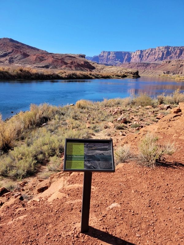
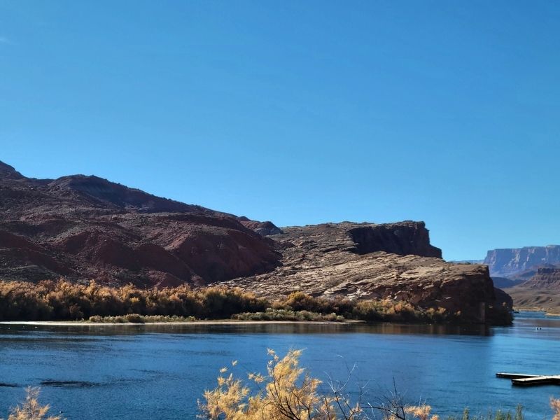
Rough, angled rock ledge on opposite river bank
Until 1899, many pioneers crossed the river near the present-day boat dock, necessitating a harrowing wagon ride either up or down the unforgiving rock ledge known as "Lee's Backbone."
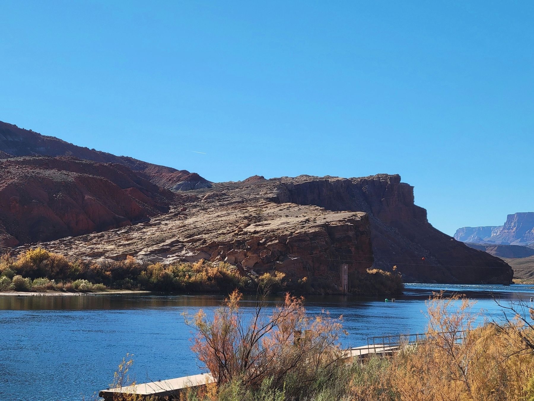
Formed 225 million years ago During the Late Triassic, a slow, meandering river laid down sand and rocks that were cemented into the hard Shinarump conglomerate.
A long dugway, or rough-cut road, later allowed travelers to avoid Lee's Backbone. The road is still visible across the river.
Erected by Glen Canyon National Recreation Area.
Topics. This historical marker is listed in this topic list: Roads & Vehicles. A significant historical year for this entry is 1899.
Location. 36° 51.945′ N, 111° 34.847′ W. Marker is in Page, Arizona, in Coconino County. It can be reached from Spencer Trail. Marker located along the Historic District River Trail. Touch for map. Marker is in this post office area: Marble Canyon AZ 86036, United States of America. Touch for directions.

Regionally, this marker is in Flagstaff & High Country, in the Navajo Nation, and in Hopi. It is also
this page online
Other nearby markers. At least 8 other markers are within walking distance of this marker: Spencer Trail (a few steps from this marker); Spencer Steamboat (within shouting distance of this marker); Water Intake (about 800 feet away, measured in a direct line); Lees Ferry (about 800 feet away); Spencer Boiler (about 800 feet away); Mining the Chinle Shale 1910-11 (approx. 0.2 miles away); USGS Guesthouse/Spencer Bunkhouse (approx. 0.2 miles away); Upper Ferry Site (approx. ¼ mile away). Touch for a list and map of all markers in Page.
Another marker is no longer nearby. Charles H. Spencer “Paddlewheel” Steamboat (was within shouting distance of this marker but has been permanently removed).
Photographed by Jeremy Snow, December 7, 2025
2. Lee's Backbone Marker
Photographed by Jeremy Snow, December 7, 2025
3. Lee's Backbone
Photographed by Jeremy Snow, December 7, 2025
4. Lee's Backbone Formation
Credits. This page was last revised on January 3, 2026. It was originally submitted on January 2, 2026, by Jeremy Snow of Cedar City, Utah. This page has been viewed 49 times since then. Photos: 1, 2, 3, 4. submitted on January 2, 2026, by Jeremy Snow of Cedar City, Utah. • Andrew Ruppenstein was the editor who published this page.
