Near Calhoun in Ouachita Parish, Louisiana — The American South (West South Central)
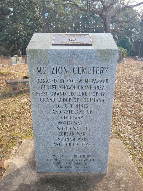
Mt. Zion Cemetery
Photographed by James Hulse, January 2, 2026
1. Mt. Zion Cemetery Marker
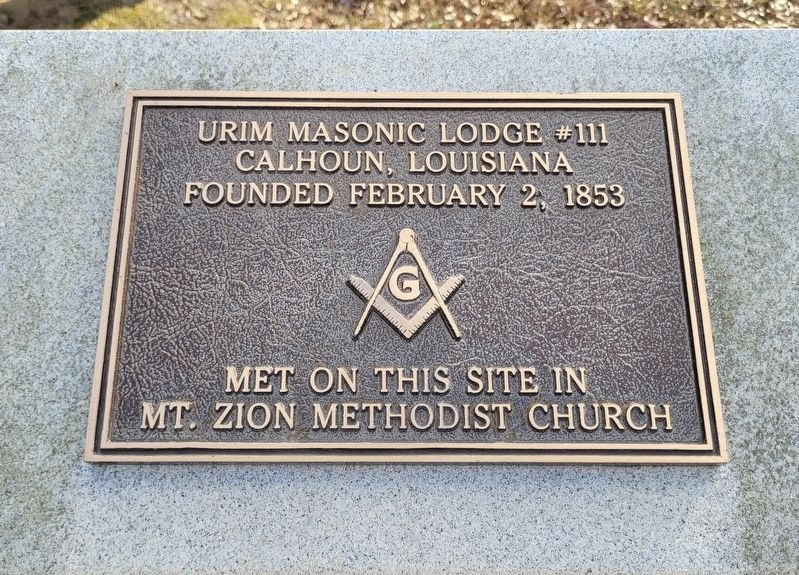
2nd Plaque
Urim Masonic Lodge #111, Calhoun, Louisiana; founded February 2, 1853, met on this site in Mt. Zion Methodist Church
Erected 1995 by Mt Zion Cemetery Committee and Urim Lodge 111.
Topics. This memorial is listed in these topic lists: Cemeteries & Burial Sites • Fraternal or Sororal Organizations. A significant historical date for this entry is February 2, 1853.
Location. 32° 31.29′ N, 92° 19.325′ W. Memorial is near Calhoun, Louisiana, in Ouachita Parish. It can be reached from U.S. 80 ¼ mile east of Interstate 20. The marker is located on the grounds of the Mt. Zion Cemetery. Touch for map. Memorial is at or near this postal address: 1100 US-80, Calhoun LA 71225, United States of America. Touch for directions.

Regionally, this memorial is in North Louisiana. It is also in the American South and specifically in the Deep South. Globally, it is in North America, a Gulf of Mexico state,
this page online
Other nearby markers. At least 8 other markers are within 11 miles of this marker, measured as the crow flies: Indian Village (approx. 6 miles away); a different marker also named Indian Village (approx. 6.1 miles away); Restoration Park (approx. 8.8 miles away); Doug Duffey (approx. 9½ miles away); The Twin City Jamboree (approx. 10.1 miles away); Alton Howard (approx. 10.2 miles away); First Southern Pine Fourdrinier Kraft Linerboard in United States (approx. 10.3 miles away); Old Fenner Road (approx. 10.6 miles away).
Photographed by James Hulse, January 2, 2026
2. Mt. Zion Cemetery Marker - 2nd Plaque
Photographed by James Hulse, January 2, 2026
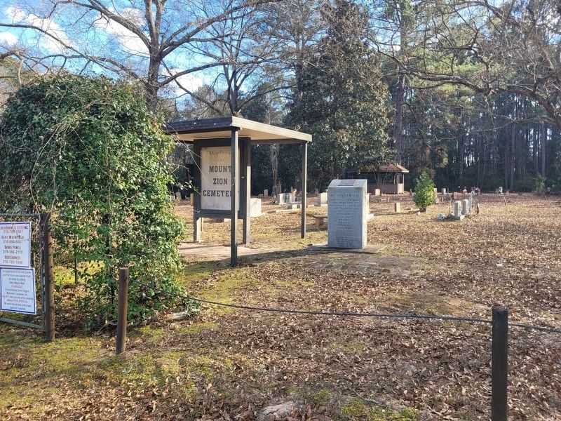
3. Mt. Zion Cemetery Marker
The view of the marker in the cemetery.
Photographed by James Hulse, January 2, 2026
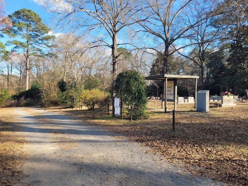
4. Mt. Zion Cemetery Marker
The view from the driveway looking toward the cemetery.
Credits. This page was last revised on January 4, 2026. It was originally submitted on January 4, 2026, by James Hulse of Medina, Texas. This page has been viewed 95 times since then. Photos: 1, 2, 3, 4. submitted on January 4, 2026, by James Hulse of Medina, Texas.
