West Orange in Essex County, New Jersey — The American Northeast (Mid-Atlantic)
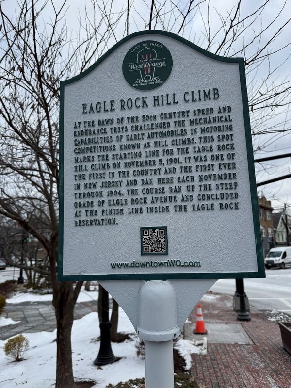
Eagle Rock Hill Climb
Downtown West Orange
| — | Catch the Energy • West Orange New Jersey 💡 | — |
Erected by Downtown West Orange Alliance.
Topics. This historical marker is listed in these topic lists: Roads & Vehicles • Sports. A significant historical date for this entry is November 5, 1901.
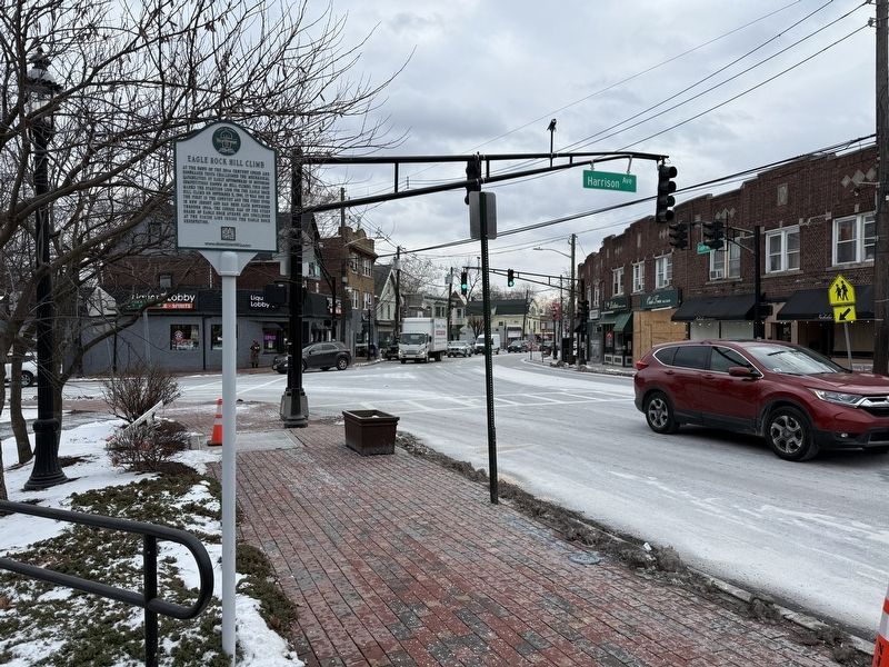
Location. 40° 47.618′ N, 74° 13.996′ W. Marker is in West Orange, New Jersey, in Essex County. It is at the intersection of Eagle Rock Avenue (County Road 611/659) and Main Street, on the right when traveling north on Eagle Rock Avenue. Touch for map. Marker is at or near this postal address: 1 Eagle Rock Ave, West Orange NJ 07052, United States of America. Touch for directions.

Regionally, this marker is in New Jersey’s North Jersey, in Greater
this page online
Other nearby markers. At least 8 other markers are within walking distance of this marker: Mary Williams (within shouting distance of this marker); David Cassidy (approx. 0.3 miles away); Tory Corner (approx. 0.4 miles away); Anthony Thompson (approx. 0.4 miles away); First Trolley In West Orange (approx. half a mile away); Brendan Byrne (approx. half a mile away); Mina Miller Edison (approx. 0.6 miles away); Edison’s Home, Glenmont (approx. 0.6 miles away). Touch for a list and map of all markers in West Orange.
Credits. This page was last revised on January 4, 2026. It was originally submitted on January 4, 2026, by Devry Becker Jones of Washington, District of Columbia. This page has been viewed 50 times since then. Photos: 1, 2. submitted on January 4, 2026, by Devry Becker Jones of Washington, District of Columbia.
