
Central Dunedin , Otago Region, New Zealand — Southwestern Pacific Ocean
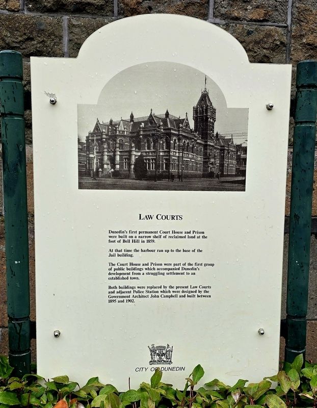
Law Courts
Photographed by Shirley A Stirling, December 25, 2025
1. Law Courts Marker
At that time the harbour ran up to the base of the Jail building.
The Court House and Prison were part of the first group of public buildings, which accompanied Dunedin's development from a struggling settlement to an established town.
Both buildings were replaced by the present Law Courts and adjacent Police Station which were designed by the Government Architect John Campbell and built between 1895 and 1902.
Erected by City of Dunedin.
Topics. This historical marker is listed in this topic list: Law Enforcement. A significant historical year for this entry is 1859.
Location. 45° 52.521′ S, 170° 30.46′ E. Marker is in Dunedin, Otago Region. It is in Central Dunedin. It is at the intersection of Stuart Street and Castle Street, on the right when traveling east on Stuart Street. Touch for map. Marker is at or near this postal address: 1 Stuart Street, Dunedin, Otago Region 9016, New Zealand. Touch for directions.

Regionally, it is in Oceania, in Australasia, in Polynesia,
this page online
Other nearby markers. At least 8 other markers are within 10 kilometers of this marker, measured as the crow flies: Geoff Todd's School of Self-Defence (a few steps from this marker); Passchendaele Memorial (within shouting distance of this marker); Dunedin Cross (approx. 0.3 kilometers away); Former Bank of New Zealand (approx. half a kilometer away); Bank of New Zealand (approx. half a kilometer away); In Memory of Captain William Cargill (approx. half a kilometer away); The Exchange (approx. half a kilometer away); W.J.M. Larnach Mansion (approx. 9.4 kilometers away). Touch for a list and map of all markers in Dunedin.
Photographed by Shirley A Stirling, December 26, 2025
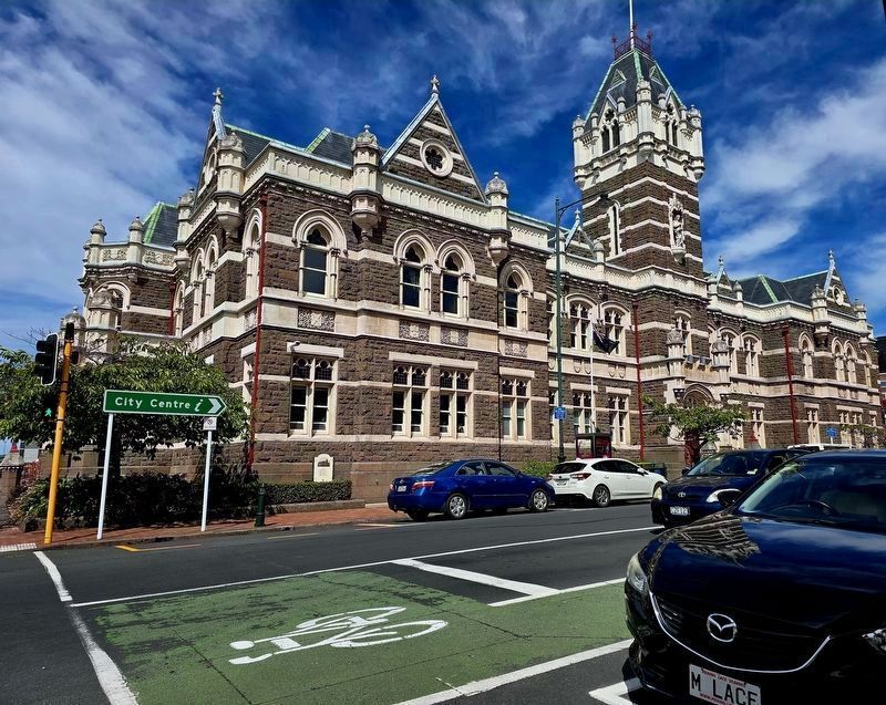
2. Law Courts building, 1902
The marker is to the left of the blue car at ground level, installed on the side of the building.
Photographed by Miller and Moodie, circa 1905
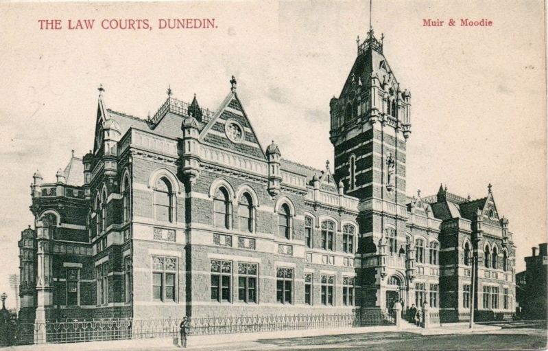
3. The Law Courts, Dunedin
Credits. This page was last revised on January 6, 2026. It was originally submitted on January 5, 2026, by Shirley A Stirling of Lacey, Washington. This page has been viewed 63 times since then. Photos: 1, 2. submitted on January 5, 2026, by Shirley A Stirling of Lacey, Washington. 3. submitted on January 6, 2026. • Andrew Ruppenstein was the editor who published this page.
