
Monroe in Monroe County, Michigan — The American Midwest (Great Lakes)
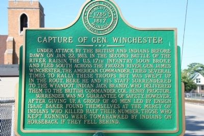
Capture of Gen. Winchester
Photographed by Dale K. Benington, July 16, 2009
1. Capture of Gen. Winchester Marker
Under attack by the British and Indians before dawn on Jan. 22, 1813, in the second Battle of the River Raisin, the U.S. 17th Infantry soon broke and fled south across the frozen river. Gen. James Winchester, the American commander, tried several times to rally these troops but was swept up in the route. Here he and his staff surrendered to the Wyandot Indian Jack Brandy, who delivered them to the British Commander, Col. Henry Proctor.
Surrender was no guarantee of safety, however. After giving up, a group of 40 men led by Ensign Isaac Baker found themselves at the mercy of Indians who killed half their number. Those who kept running were tomahawked by Indians on horseback if they fell behind.
Erected by Monroe County Historical Commission.
Topics. This historical marker is listed in this topic list: War of 1812. A significant historical month for this entry is January 1787.
Location. 41° 54.511′ N, 83° 23.275′ W. Marker is in Monroe, Michigan, in Monroe County. It is at the intersection of Kentucky Avenue and East 3rd Street, on the right when traveling south on Kentucky Avenue. This historical marker is in a residential
this page online

Regionally, this marker is in Southeast Michigan and in Greater Detroit. It is also in the American Midwest. Globally, it is in North America, on the Great Lakes, in the Western Hemisphere, in the Western World, and in the Anglosphere. Historically, it finds itself in what was once the Northwest Territory.
Other nearby markers. At least 8 other markers are within walking distance of this marker: The Old Hull Road (here, next to this marker); George Francis Heath, M.D. (approx. 0.2 miles away); Custer-Reed Plot (approx. 0.2 miles away); Boston Custer - Autie Reed (approx. 0.2 miles away); Port of Monroe (approx. 0.4 miles away); River Raisin Legacy Project (approx. 0.4 miles away);
Photographed by Dale K. Benington, July 16, 2009
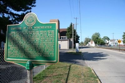
2. Capture of Gen. Winchester Marker
View of the historical marker in the left foreground with a distant view looking north up Kentucky Avenue at the trees that mark the southern edge of the River Raisin.
Another marker is no longer nearby. Death of Col. John Allen (was about 600 feet away, measured in a direct line but has been confirmed missing).
Also see . . .
1. James Winchester. This web link was both published and made available by, "Absolute Astronomy.com," in it's quest to enable "exploring the universe of knowledge." (Submitted on July 17, 2009, by Dale K. Benington of Toledo, Ohio.)
2. Battle of Frenchtown. This web link was both published and made available by, "Absolute Astronomy.com," in it's quest to enable "exploring the universe of knowledge." (Submitted on July 17, 2009, by Dale K. Benington of Toledo, Ohio.)
3. Battle of Frenchtown. This web link is published and made available by "Friends of the River Raisin Battlefield." (Submitted on July 17, 2009, by Dale K. Benington of Toledo, Ohio.)
4. Henry Procter. This web link was both published and made available by, "Absolute
Photographed by Dale K. Benington, July 16, 2009
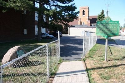
3. Capture of Gen. Winchester Marker
View of both of the historical markers located at the northwest corner of Kentucky Avenue and East 3rd Street (one of the markers is affixed to a large rock behind the chain linked fence).
Photographed by Bill Coughlin, July 8, 2025
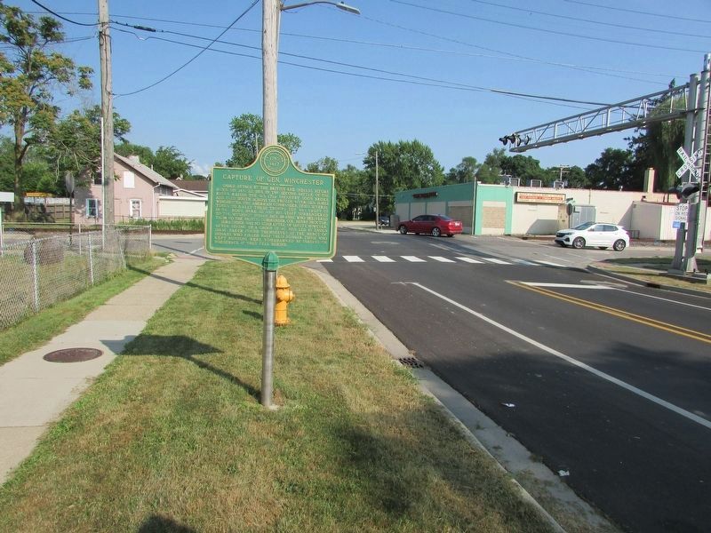
4. Capture of Gen. Winchester Marker
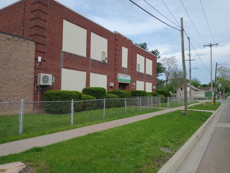
Photographed by Craig Doda, May 21, 2022
5. Capture of Gen. Winchester Marker
The marker was moved a few feet in front of the old school.
Internet Archive
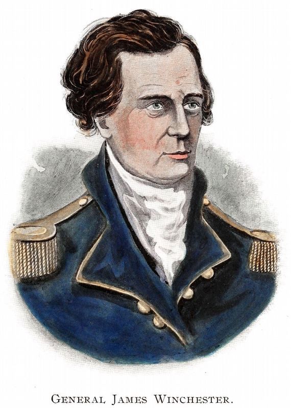
6. General James Winchester
This portrait of General James Winchester appeared in The War of 1812 by John Richardson and Alexander Clark Casselman 1902.
Credits. This page was last revised on January 7, 2026. It was originally submitted on July 17, 2009, by Dale K. Benington of Toledo, Ohio. This page has been viewed 1,797 times since then and 118 times this year. Last updated on January 7, 2026, by Darryl R Smith of Cincinnati, Ohio. Photos: 1, 2, 3. submitted on July 17, 2009, by Dale K. Benington of Toledo, Ohio. 4. submitted on July 18, 2025, by Bill Coughlin of Woodland Park, New Jersey. 5. submitted on May 23, 2022, by Craig Doda of Napoleon, Ohio. 6. submitted on April 20, 2018, by Allen C. Browne of Silver Spring, Maryland. • Devry Becker Jones was the editor who published this page.
