McLean in Fairfax County, Virginia — The American South (Mid-Atlantic)
Clemyjontri
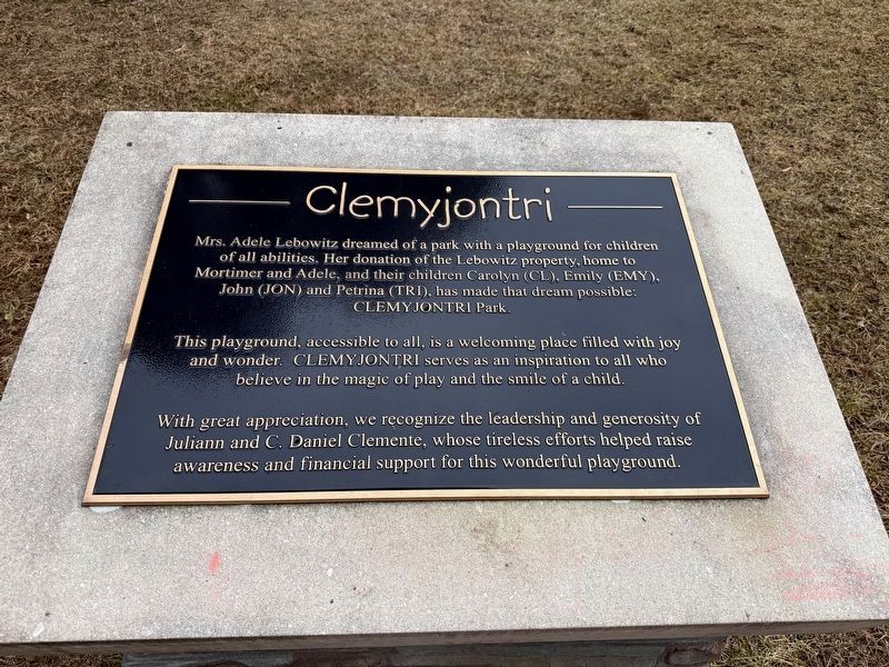
Mrs. Adele Lebowitz dreamed of a park with a playground for children of all abilities. Her donation of the Lebowitz property, home to Mortimer and Adele, and their children Carolyn (CL), Emily (EMY), John (JON) and Petrina (TRI), has made that dream possible:
This playground, accessible to all, is a welcoming place filled with joy and wonder. Clemijontri serves as an inspiration to all who believe in the magic of play and the smile of a child.
With great appreciation, we recognize the leadership and generosity Juliann and C. Daniel Clemente, who tireless efforts helped raise awareness and financial support for this wonderful playground.
Erected by Fairfax County Park Foundation.
Topics. This historical marker is listed in these topic lists: Charity & Public Work • Parks & Recreational Areas. A significant historical year for this entry is 1997.
Location. 38° 56.671′ N, 77° 9.376′ W. Marker is in McLean, Virginia, in Fairfax County. It can be reached from Georgetown Pike (Route 193) east of Chain Bridge Road, on the right when traveling east. Touch for map. Marker is at or near this postal
this page online

Regionally, this marker is in the Washington Metropolitan Area and in Northern Virginia. It is also in the American South, specifically in the Upper South, in the Mid-Atlantic, and on the Eastern Seaboard. Globally, it is in the North Atlantic Region, North America, the Western Hemisphere, the Western World, and the Anglosphere. Historically, it finds itself in what was once the territory of the Mississippian Culture, one of the original Thirteen Colonies, one of the Confederate States of America, and the Antebellum South.
Other nearby markers. At least 8 other markers are within 2 miles of this marker, measured as the crow flies: Robert Gunnell and Gunnell's Chapel (about 500 feet away, measured in a direct line); Langley Fork (about 600 feet away); Who Was Claude Moore? (approx. half a mile away); Salona (approx. 1.1 miles away); Benvenue (approx. 1.2 miles away); McLean (approx. 1.3 miles away); The Laughlin Building (approx. 1.4 miles away); William Watters (approx. 1.4 miles away). Touch for a list and map of all markers
Photographed by Devry Becker Jones (CC0), January 9, 2026
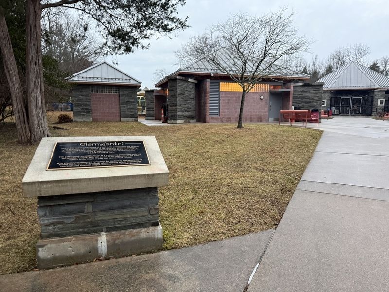
2. Clemyjontri Marker on the grounds of Clemyjontri Park
Also see . . . Wikipedia article about Clemyjontri Park.
Clemyjontri Park is a 2-acre park in McLean, Virginia, opened in 2006, which boasts a setting for children of all abilities to congregate. It is located in the McLean area of Fairfax County, Virginia, at 6317 Georgetown Pike. It includes a carousel, four different playground areas around the carousel, and walking trails. Additional parking is available at Langley Fork Park across Georgetown Pike.(Submitted on January 9, 2026, by Devry Becker Jones of Washington, District of Columbia.)
The land was donated by Adele Lebowitz in 1997, of Morton’s Department Store and namesake of the "Adele Lebowitz Center for Youth and Family" at the Washington School of Psychiatry, to the Fairfax County Park Authority to build the park.
The name Clemyjontri is derived from the donor’s four children: Carolyn (CL), Emily (EMY), John (Jon), and Petrina (Tri).
The park has been written about in the fictional book Murder Has a Sweet Tooth.

Photographed by Devry Becker Jones (CC0), January 9, 2026
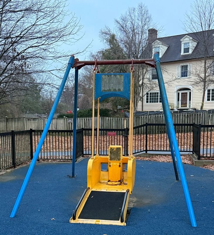
4. The Liberty Swing, part of the accessible facilities on the grounds of the park
Credits. This page was last revised on January 9, 2026. It was originally submitted on January 9, 2026, by Devry Becker Jones of Washington, District of Columbia. This page has been viewed 76 times since then. Photos: 1, 2, 3, 4. submitted on January 9, 2026, by Devry Becker Jones of Washington, District of Columbia.
