
Near Orange in Orange County, Virginia — The American South (Mid-Atlantic)
Kemper's Grave
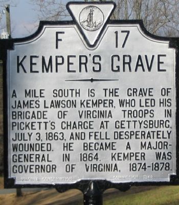
Photographed by Craig Swain, January 12, 2008
1. Kemper's Grave Marker
Erected 1948 by Virginia Conservation Commission. (Marker Number F-17.)
Topics and series. This historical marker is listed in these topic lists: Government & Politics • War, US Civil. In addition, it is included in the Virginia Department of Historic Resources (DHR) series list. A significant historical date for this entry is July 3, 1976.
Location. This marker has been replaced by another marker nearby. It was located near 38° 16.772′ N, 78° 8.327′ W. Marker was near Orange, Virginia, in Orange County. It was at the intersection of South James Madison Highway (U.S. 15) and Little Skyline Drive (County Route 674), on the right when traveling south on South James Madison Highway. Touch for map. Marker was at or near this postal address: 9164 S James Madison Hwy, Orange VA 22960, United States of America. Touch for directions.

Regionally, this marker was in Northern Virginia
this page online
Other nearby markers. At least 8 other markers are within 3 miles of this location, measured as the crow flies: Grave of Gov. James Lawson Kemper (a few steps from this marker); Orange County / Madison County (within shouting distance of this marker); a different marker also named Knights of the Golden Horseshoe (approx. 0.3 miles away); Fry's/Barnett's Ford Road (approx. 1.3 miles away); Woodberry Forest School (approx. 1.4 miles away); Peyton's Ford Road / Woodberry Perimeter Trail (approx. 2.2 miles away); In Memory of the Dead (approx. 2.6 miles away); World War II Memorial (approx. 2.8 miles away). Touch for a list and map of all markers in Orange.
Another marker is no longer nearby. Knights of the Golden Horseshoe (was approx.
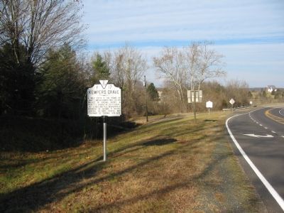
Photographed by Craig Swain, January 12, 2008
2. Kemper's Grave Marker
More about this marker. Kemper's Grave is on private property to the southwest of the marker location. A public ceremony is held on June 11 of every year commemorating the birthday of James Kemper.
Related marker. Click here for another marker that is related to this marker. Marker has been replaced with the linked marker.
Also see . . .
1. James Kemper. Short biography. (Submitted on January 15, 2008, by Craig Swain of Leesburg, Virginia.)
2. James Lawson Kemper. Find-a-Grave entry for Kemper, with photos of the tombstone. (Submitted on January 15, 2008, by Craig Swain of Leesburg, Virginia.)
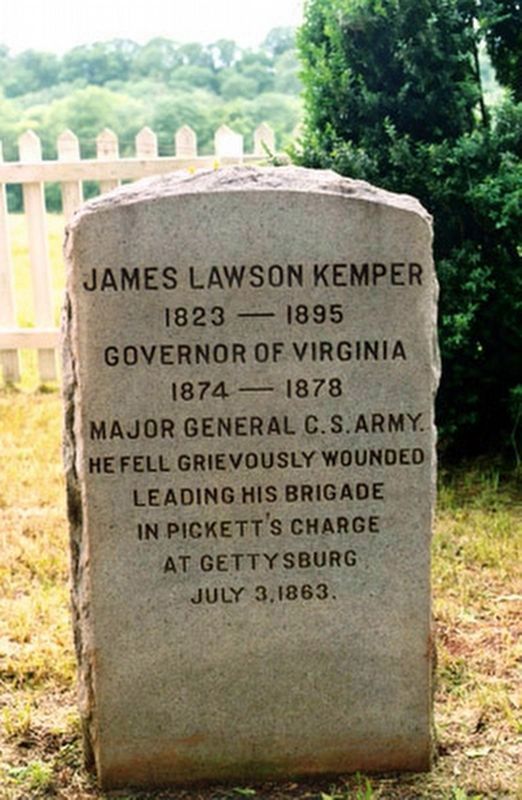
Photographed by Unknown
3. Kemper's Grave
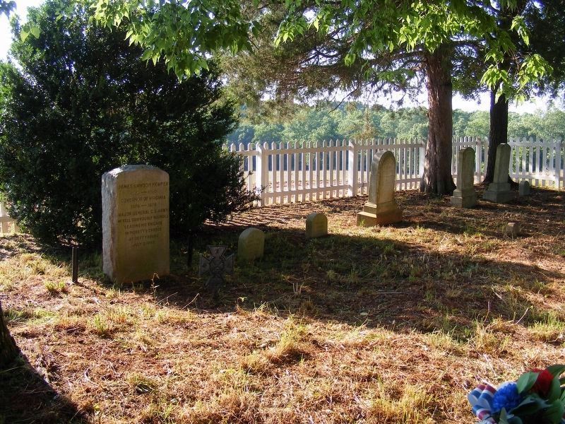
Photographed by Pete Payette, June 11, 2017
4. Kemper Family Cemetery plot at Walnut Hills
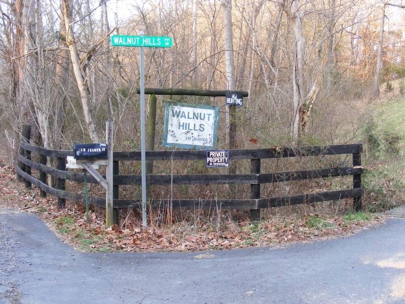
Photographed by Pete Payette, March 12, 2012
5. Walnut Hills Estate entrance
(private property)
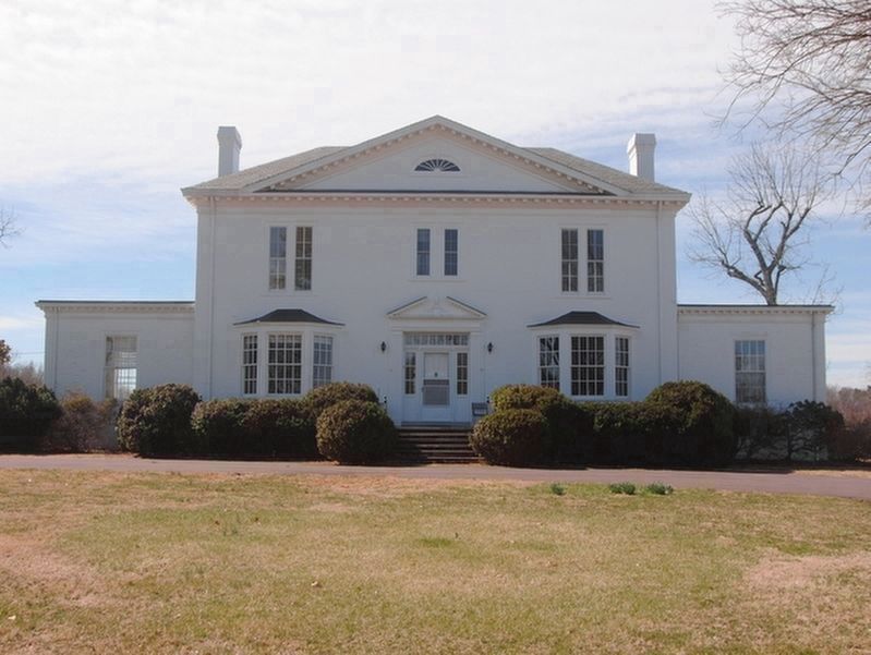
Photographed by Unknown, March 31, 2014
6. Walnut Hills manor house
(private property)
Kemper's last residence after retirement from political life.
Credits. This page was last revised on January 14, 2026. It was originally submitted on January 15, 2008, by Craig Swain of Leesburg, Virginia. This page has been viewed 2,774 times since then and 80 times this year. Last updated on January 13, 2026, by Evan Dwyer of Richmond, Virginia. Photos: 1, 2. submitted on January 15, 2008, by Craig Swain of Leesburg, Virginia. 3. submitted on May 2, 2017, by Pete Payette of Orange, Virginia. 4. submitted on June 12, 2017, by Pete Payette of Orange, Virginia. 5, 6. submitted on May 2, 2017, by Pete Payette of Orange, Virginia. • Devry Becker Jones was the editor who published this page.
