Appomattox in Appomattox County, Virginia — The American South (Mid-Atlantic)
April 1865
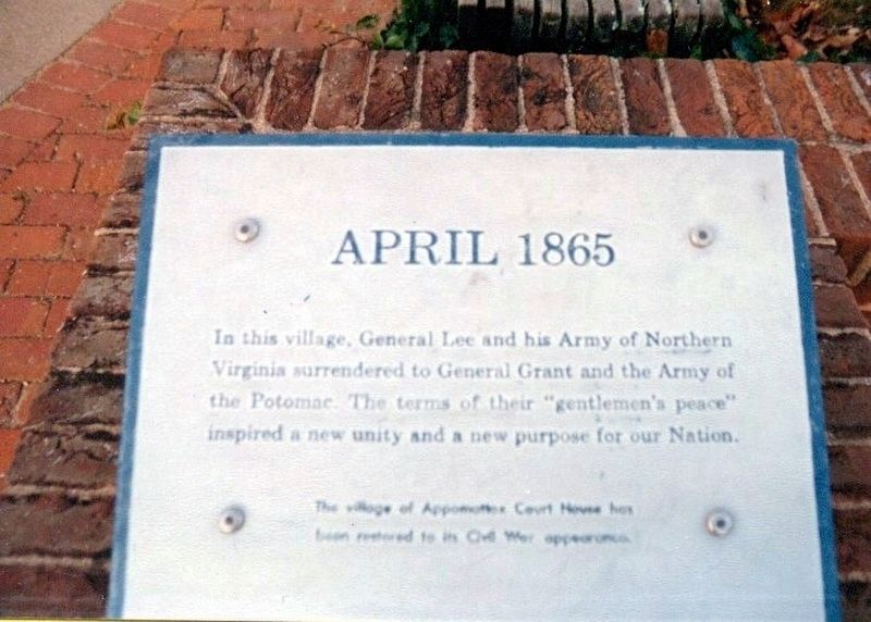
Photographed by Don Morfe, November 8, 1994
1. April 1865 Marker
In this village, General Lee and his Army of Northern Virginia surrendered to General Grant and the Army of the Potomac. The terms of their “gentlemen’s peace” inspired a new unity and a new purpose for our Nation.
The village of Appomattox Court House has been restored to its Civil War appearance.
Erected by National Park Service, U.S. Department of the Interior.
Topics and series. This historical marker is listed in this topic list: War, US Civil. In addition, it is included in the Former U.S. Presidents: #18 Ulysses S. Grant series list. A significant historical month for this entry is April 1865.
Location. Marker has been permanently removed. It was located near 37° 22.578′ N, 78° 47.784′ W. Marker was in Appomattox, Virginia, in Appomattox County. It was on National Park Drive south of Richmond Lynchburg State Lane, on the right when traveling north. The marker stands at the base of the flag pole which is near the parking lot. Touch for map. Marker was at or near this postal address: 341 Richmond Lynchburg Stage Ln, Appomattox VA 24522, United States of America.
We have been informed that this marker is no longer
this page online
Regionally, this marker was in the Piedmont and in Central Virginia. It was also in the American South and specifically in the Upper South. Globally, it was in North America, the Western Hemisphere, the Western World, and the Anglosphere. Historically, it found itself in what was once the territory of the Mississippian Culture, one of the original Thirteen Colonies, one of the Confederate States of America, and the Antebellum South.

Other nearby markers. At least 8 other markers are within walking distance of this location: Appomattox Court House (here, next to this marker); The Isbell House (within shouting distance of this marker); Anticipating Freedom (within shouting distance of this marker); Uncovering History (about 500 feet away, measured in a direct line); McLean House (about 500 feet away); a different marker also named The Isbell House (about 500 feet away); Clover Hill Tavern (about 600 feet away); "Now I see the white flag earnestly borne…" (about 700 feet away). Touch for a list and map of all markers in Appomattox.
Other markers
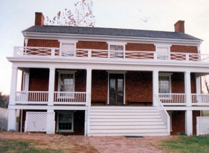
Photographed by Don Morfe, November 8, 1994
2. McLean House
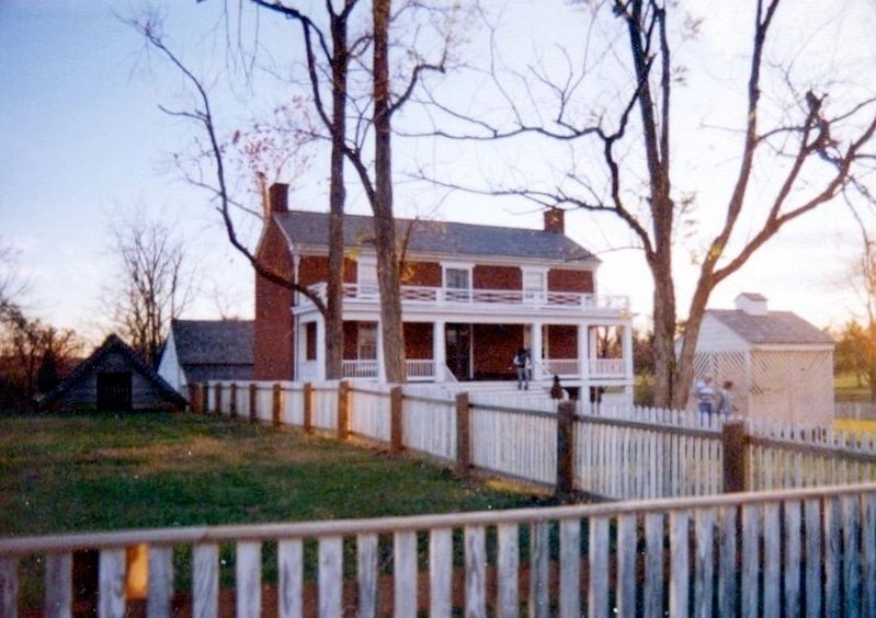
Photographed by Don Morfe, November 8, 1994
3. McLean House-distant shot
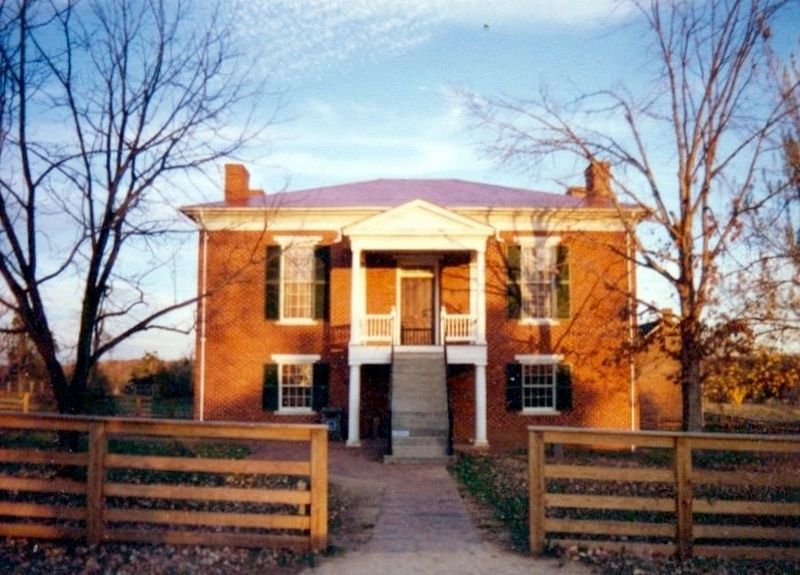
Photographed by Don Morfe, November 8, 1994
4. Court House and Visitor Center
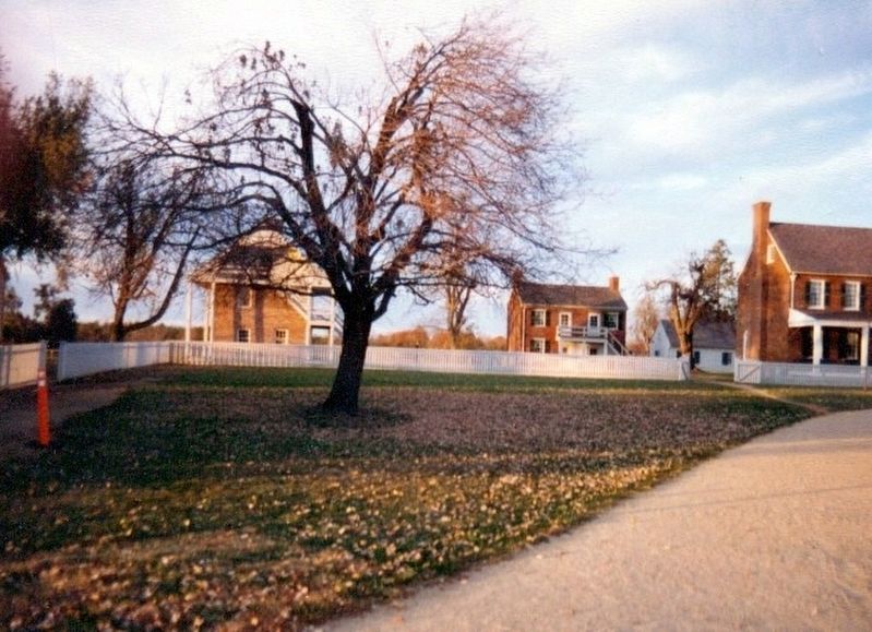
Photographed by Don Morfe, November 8, 1994
5. Varous buildings in the area
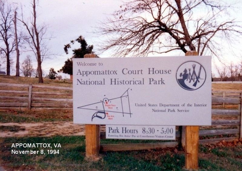
Photographed by Don Morfe, November 8, 1994
6. Sign at the entrance to the Historical Park
Credits. This page was last revised on January 15, 2026. It was originally submitted on January 23, 2017, by Don Morfe of Baltimore, Maryland. This page has been viewed 715 times since then and 50 times this year. Last updated on January 15, 2026, by Evan Dwyer of Richmond, Virginia. Photos: 1, 2, 3, 4, 5, 6. submitted on January 23, 2017, by Don Morfe of Baltimore, Maryland. • Bernard Fisher was the editor who published this page.
