
Kettle Falls in Stevens County, Washington — The American West (Northwest)
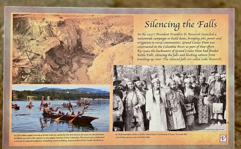
Silencing the Falls
Photographed by Shirley A Stirling, September 5, 2025
1. Silencing the Falls Marker
Captions
(Photo #1) In 2016 tribes again arrived at Kettle Falls by canoe for the first time in 80 years to call attention to efforts to return the salmon to the upper reaches of the Columbia. This event also celebrated a revival of cultural traditions, including canoe building, among tribes of the Pacific Northwest. Courtesy of Justin McCarthy and Annette Pierre
(Photo #2) In 1939 members of the Colville Tribe held a "Ceremony of Tears" to mark the end of the salmon runs at Kettle Falls. Courtesy of: Wallace Gamble Collection, Northwest Museum of Art and Culture
Topics. This historical marker is listed in this topic list: Indigenous Peoples and Communities. A significant historical year for this entry is 1939.
Location. 48° 37.474′ N,
this page online

Regionally, this marker is in the Okanogan Highlands and in Greater Spokane. It is also in the American Mountain West and in the Lewis & Clark Corridor. Globally, it is in North America, the Pacific Rim, the Western Hemisphere, the Western World, and the Anglosphere.
Other nearby markers. At least 6 other markers are within 3 miles of this marker, measured as the crow flies: The Inchelium Ferry Bell (a few steps from this marker); St. Paul's Mission (approx. 0.4 miles away); Fort Colville (approx. 0.4 miles away); Mounce's Shell Service Station 1937/Mervin Mounce 1932 (approx. 2.3 miles away); Townsite of Old Kettle Falls (approx. 2.3 miles away); Columbia/Munro Hotel (approx. 2.3 miles away).
Photographed by Shirley A Stirling, September 5, 2025
2. Silencing the Falls Marker
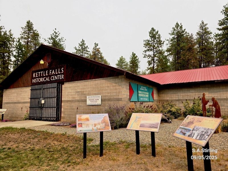
This marker is in the far right.
Credits. This page was last revised on January 20, 2026. It was originally submitted on January 16, 2026, by Shirley A Stirling of Lacey, Washington. This page has been viewed 48 times since then. Photos: 1, 2. submitted on January 16, 2026, by Shirley A Stirling of Lacey, Washington. • James Hulse was the editor who published this page.
