
Kettle Falls in Stevens County, Washington — The American West (Northwest)
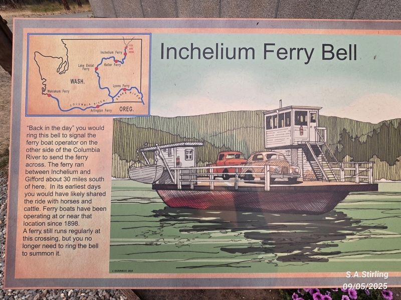
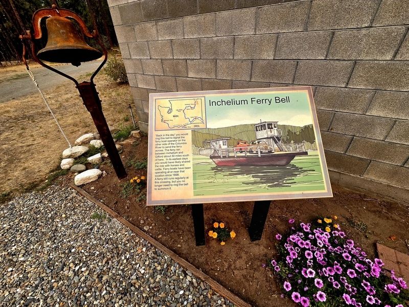
The Inchelium Ferry Bell
Photographed by Shirley A Stirling, September 5, 2025
1. The Inchelium Ferry Bell Marker
"Back in the day" you would ring this bell to signal the ferry boat operator on the other side of the Columbia River to send the ferry across. The ferry ran between Inchelium and Gifford about 30 miles south of here. In its earliest days you would have likely shared the ride with horses and cattle. Ferry boats have been operating at or near that location since 1898. A ferry still runs regularly at this crossing, but you no longer need to ring the bell to summon it.
Topics and series. This historical marker is listed in this topic list: Waterways & Vessels. In addition, it is included in the Historic Bells series list. A significant historical year for this entry is 1898.
Location. 48° 37.484′ N, 118° 6.703′ W. Marker is in Kettle Falls, Washington, in Stevens County. It is on Saint Paul Mission Road, on the right when traveling north. Touch for map. Marker is at or near this postal address: 1188 St Paul Mission Road, Kettle Falls WA 99141, United States of America. Touch for directions.

Regionally, this marker is in the Okanogan Highlands and in Greater Spokane. It is also in the American Mountain West and in the Lewis & Clark Corridor. Globally, it is in North America, the Pacific Rim, the Western Hemisphere, the Western World, and the Anglosphere.
Other nearby markers. At least 6 other markers are
this page online
Photographed by Shirley A Stirling, September 5, 2025
2. The Inchelium Ferry Bell Marker
Photographed by Shirley A Stirling, September 5, 2025
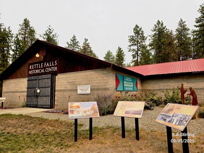
3. Museum
Ferry bell marker is to the far left.
Photographed by Shirley A Stirling, September 5, 2025
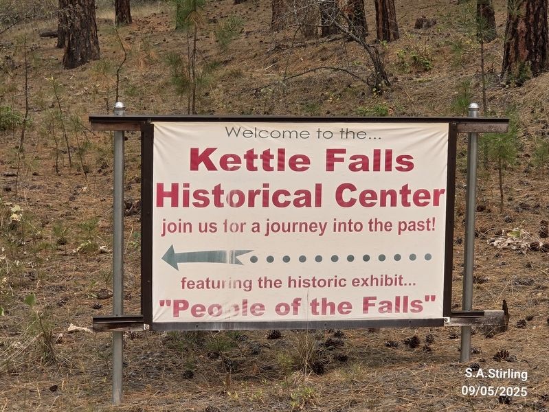
4. Facility sign
Credits. This page was last revised on January 19, 2026. It was originally submitted on January 16, 2026, by Shirley A Stirling of Lacey, Washington. This page has been viewed 42 times since then. Photos: 1, 2, 3, 4. submitted on January 16, 2026, by Shirley A Stirling of Lacey, Washington. • Andrew Ruppenstein was the editor who published this page.
