Appomattox in Appomattox County, Virginia — The American South (Mid-Atlantic)
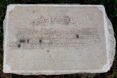
North Carolina
Photographed by Bernard Fisher, June 26, 2015
1. North Carolina Marker
by Captain Wilson T. Jenkins of the 14th
North Carolina Regiment commanding 25
men of the 4th and 14th N.C. Regiments.
Erected 1905 by North Carolina Appomattox Commission.
Topics. This historical marker is listed in this topic list: War, US Civil. A significant historical date for this entry is April 9, 1865.
Location. 37° 22.605′ N, 78° 48.086′ W. Marker is in Appomattox, Virginia, in Appomattox County. It can be reached from Richmond-Lynchburg Stage Road north of Old Courthouse Road (Virginia Route 24), on the right when traveling west. Located in the Appomattox Court House National Historical Park. Touch for map. Marker is at or near this postal address: 113 National Park Drive, Appomattox VA 24522, United States of America. Touch for directions.

Regionally, this marker is in the Piedmont and in Central Virginia. It is also in the American South and specifically in the Upper South. Globally, it is in North America, the Western Hemisphere, the Western World, and the Anglosphere. Historically, it finds itself in what was once the territory of the Mississippian Culture,
this page online
Other nearby markers. At least 8 other markers are within walking distance of this marker: Wartime Landscape (about 300 feet away, measured in a direct line); The First African American School in Appomattox (about 300 feet away); Appomattox Confederate Cemetery Memorial (about 500 feet away); Confederate Cemetery (about 500 feet away); Appomattox (about 500 feet away); Appomattox Court House Confederate Cemetery (about 600 feet away); A Strategic Delay (about 600 feet away); Gordon’s Attack April 9, 1865 (about 600 feet away). Touch for a list and map of all markers in Appomattox.
Another marker is no longer nearby. Sears Lane (was about 500 feet away but has been permanently removed).
Also see . . . Appomattox Court House National Historical Park. (Submitted on June 27, 2015.)
Photographed by Bernard Fisher, June 26, 2015
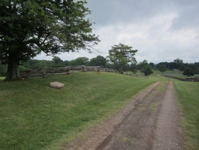
2. North Carolina Marker (facing east)
Photographed by Bernard Fisher, June 26, 2015
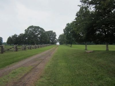
3. North Carolina Marker (facing west)
Photographed by Bernard Fisher, June 26, 2015
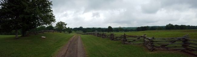
4. Richmond-Lynchburg Stage Road (facing east)
Photographed by Bernard Fisher, June 26, 2015
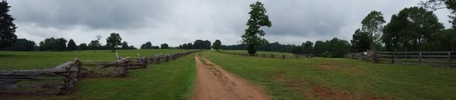
5. Richmond-Lynchburg Stage Road (facing west)
Credits. This page was last revised on January 17, 2026. It was originally submitted on June 27, 2015, by Bernard Fisher of Richmond, Virginia. This page has been viewed 682 times since then and 31 times this year. Last updated on January 16, 2026, by Evan Dwyer of Richmond, Virginia. Photos: 1, 2, 3, 4, 5. submitted on June 27, 2015, by Bernard Fisher of Richmond, Virginia.
